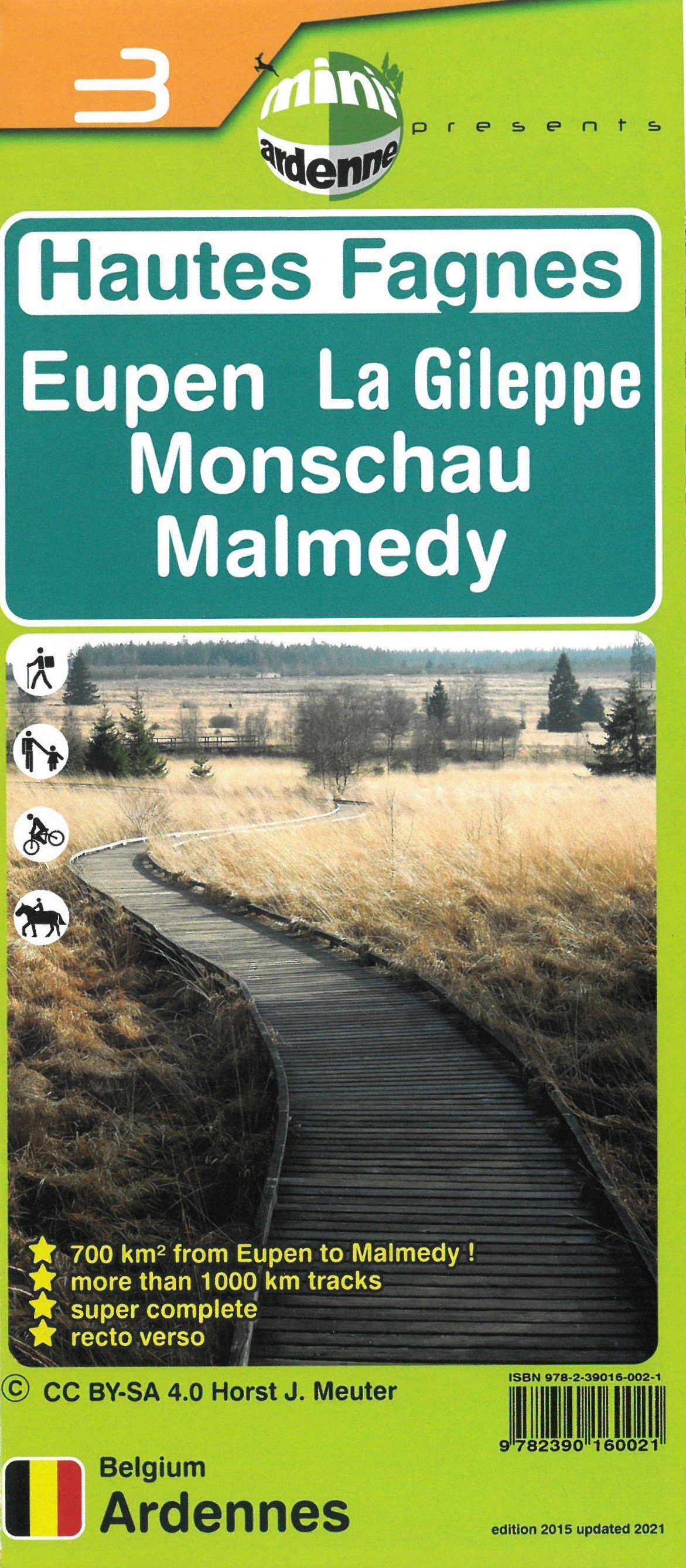
This new edition of the High Fens map extends from Raeren in the north to Malmedy in the south, and from Sart in the west to Monschau in the east.
Its very large double-sided format covers the entire High Plateau, an area of more than 700 km².
To the north, coverage reaches Welkenraedt, southern Raeren and the Dreilägerbach reservoir (Dreilägerbachtalsperre), beyond the German border.
To the south, it reaches Malmedy, Waimes and Lake Bütgenbach. From west to east, it extends from Francorchamps and Sart to beyond Monschau.
It also includes the popular Eupen, Gileppe and Robertville reservoirs, bringing the total to 5 large lakes, starting points for numerous walks shown on the map.
Tributary streams and their attractive walking valleys are all included: the Gileppe, Hoëgne/Poleûr, Warche, Bayehon, Helle, Soor, Statte, Sawe, upper Vesdre, Getzbach and Schwarzbach valleys, among others.
These outings, easily planned with the map, offer many enjoyable days in nature, an opportunity to disconnect while being active, whether gently or intensively, with family or for sport.
The Fens plateau is vast and people sometimes lose their way. This map uses geographical data based on the latest satellite photographs. It highlights accessible paths and trails extensively, with distances on each section, making it easier to explore this exceptional region while providing a clear overview.
The map also shows numerous points of interest familiar to local walkers, including famous Fens crosses, monuments, historic boundary stones and notable trees, among around 200 other features listed in the legend.