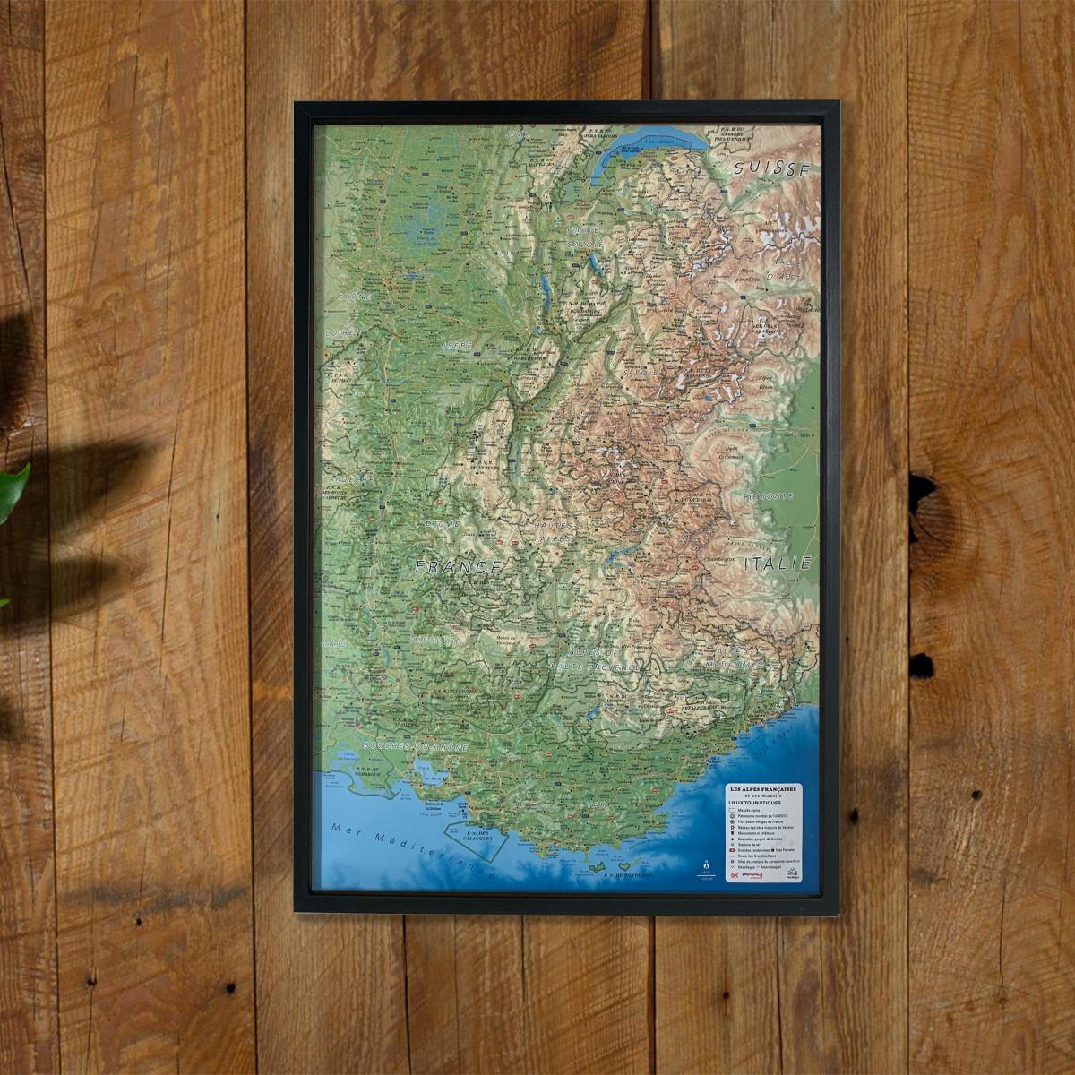
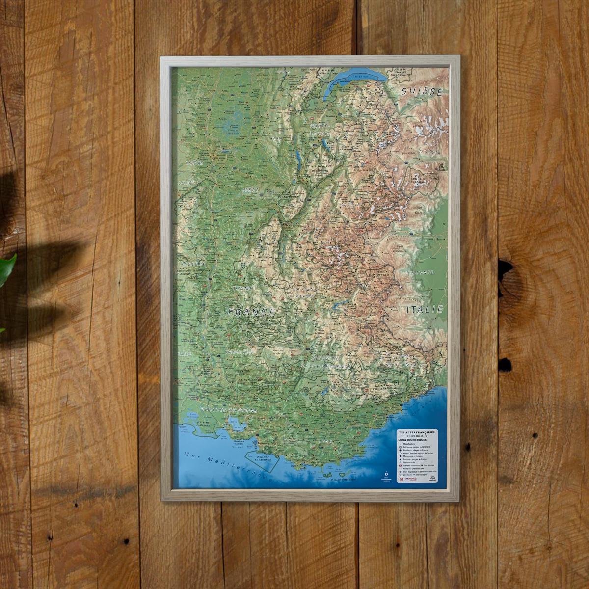
Relief Wall map - Annecy & Mont Blanc - 113 x 80 cm | IGN (French)
- Shipping within 24 working hours from our warehouse in France
- Delivery costs calculated instantly in the basket
- Real-time inventory
- In stock, ready to ship
Over 19,500 maps 🗺️ and travel guides, hiking maps, posters, globes, and decor in stock!
Explore the world, one map at a time 🗺️
Cartovia is rated Excellent ⭐️ on Trustpilot — 9,100+ reviews from explorers and map lovers worldwide.
Cartovia is rated Excellent ⭐️ on Trustpilot — 9,100+ reviews from explorers and map lovers worldwide
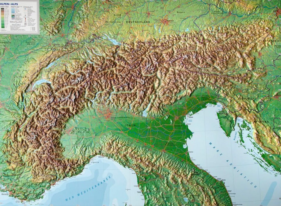
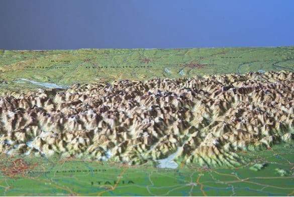
Embossed Wall map of the Annecy and Mont Blanc area. Relief maps are another way to apprehend the representation of a region, a mountainous massif, or France, thanks to 3D. Decorative element or educational tool, you choose the function of this embossed map of the IGN. P>
Dimensions: 113 x 80 cm. p>
Scale 1/100 000 (1 cm = 1 km). p>
ISBN / EAN : 9782758552895
Date de publication : 2022
Echelle : 1/100,000 (1cm=1km)
Impression: front
Dimensions déplié(e) : 113 x 80cm
Langue : French
Poids :
1305 g
la taille est bonne mais supporterait plus de relief et des couleurs plus contrastées
parfait
Très intéressante!
We are very happy with the relief map. Ordering was easy online, the map arrived within a reasonable time and was well packed (even with tape around the edges "fragile glass". The map covers the area we hike/ski/snowshoe. It is a great tool for track our hikes and just to get an overall feeling for the topography of the area.
The exclusive newsletter for travel and discovery enthusiasts!