Christchurch : Ashburton, Rangiora et 16 villes de Canterbury (Nouvelle-Zélande) | Kiwi Maps plan de ville Kiwi Maps Default Title

Christchurch: Ashburton, Rangiora and 16 Canterbury Towns (New Zealand) | Kiwi Maps

Price
Regular price CHF 1300
Regular price Sale price CHF 1300
/
  • Shipped within 24 to 48h from our warehouse in the USA
  • Customs duties may apply on import to your country
  • Free returns (*)
  • Real-time stock levels
  • Cartovia Guarantee – Delivery issue?
    We resend immediately upon receiving a simple photo.
  • In stock, ready to ship
  • Backordered, shipping soon
Tax included.

Frequently bought together:

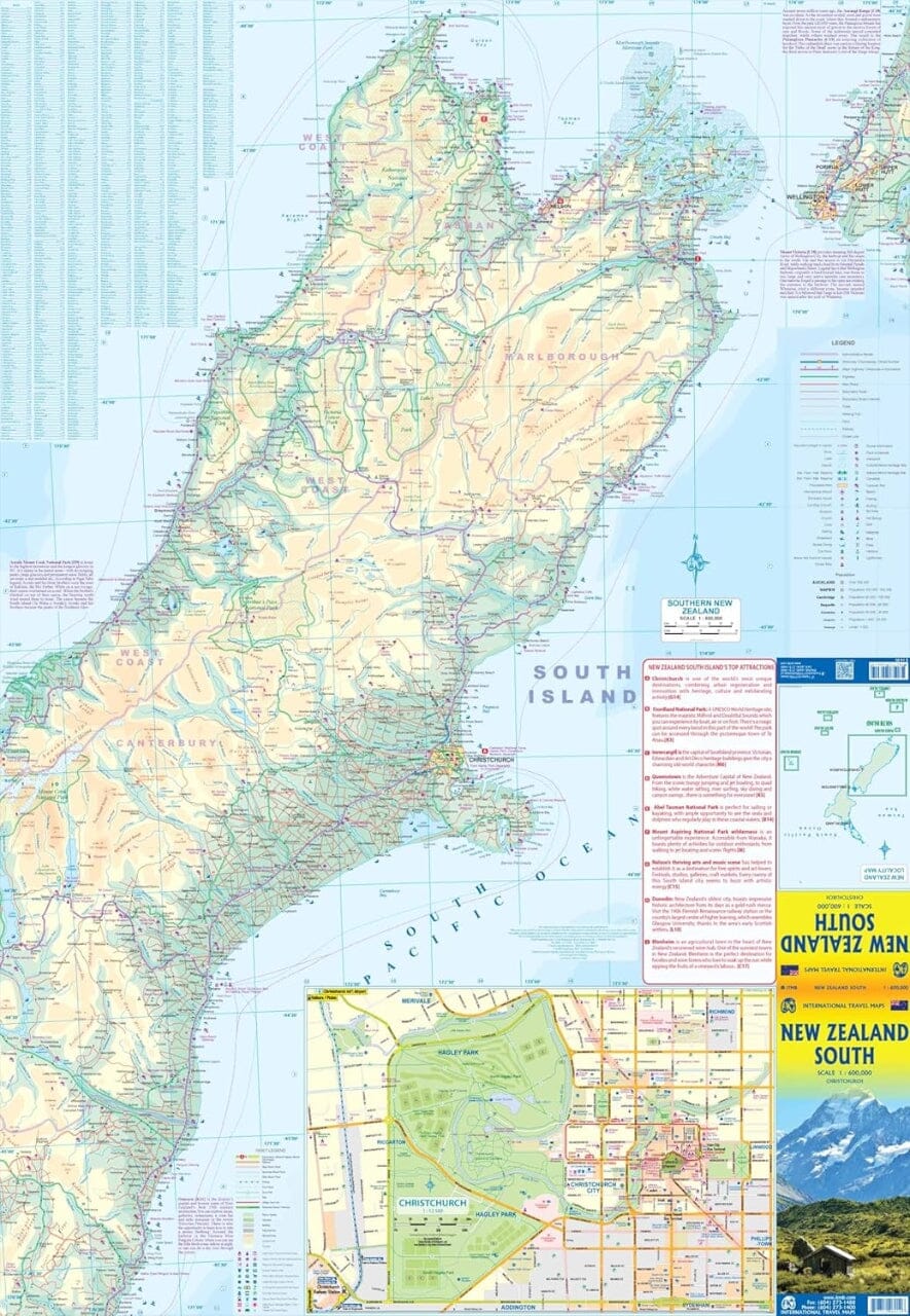
Christchurch, Ashburton, Rangiora and 16 Canterbury towns on an indexed street.

maps, with enlargements of downtown Christchurch, the city airport and the University of Canterbury campus. Christchurch coverage itself shows the red zone – the restricted-access area following the 2010 and 2011 earthquakes.

On one side is a street map of Christchurch with its outer suburbs at 1:25,000, plus an enlargement of downtown at 1:10,000. Both maps show the extent of the restricted-entry red zone. Enlargements showing the city airport and University of Canterbury campus in greater detail are also provided.

Separate panels cover Ashburton (with an enlargement for downtown, Rakaia, Kaiapoi, Tai Tapu, Akaroa, Rolleston, Lincoln, Sefton, Rangiora, Woodend, Lyttelton, Governors Bay and Diamond Harbour.


ISBN/EAN : 9415871000317
Publication date: 2023
Scale: various scales
Folded dimensions: 8.27 x 3.94"
Language(s): English
Weight: 74 g