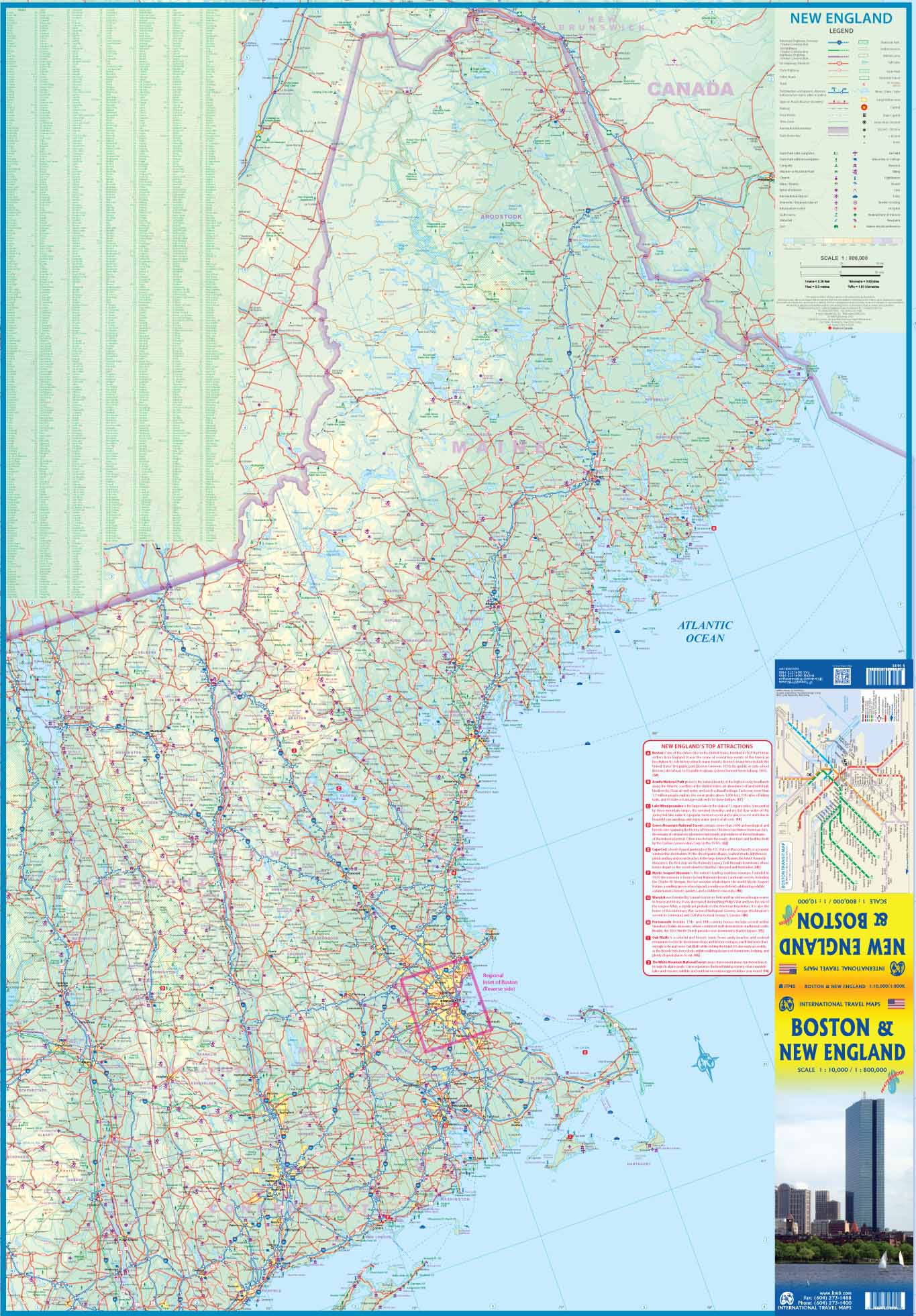
New 2025 edition! The best illustrated map of Boston. With this incredible city map, you'll step back in time as you stroll through the streets of the "Cradle of Liberty." Beautiful, practical, and informative, it's the only map of Boston you'll ever need: at every turn, a historic building, monument, or point of interest awaits. History buffs will appreciate the many anecdotes that explain the rich, vibrant, and sometimes dark history of the heart of "Beantown." The map features illustrations of iconic sites such as the Freedom Trail (16 stages) and the Black Heritage Trail (10 stages).
You'll discover its many neighborhoods, winding streets, and waterfront. We've even included subway and ferry routes and stops to help you get around faster. Our Boston map folds down to a convenient 10 x 23 cm (4 x 9 inches) size to easily fit in a pocket or bag.
Unfolded, it measures 46 x 69 cm (18 x 27 inches) and reveals a captivating illustration. You will discover a representation of the city, reminiscent of old Boston maps.


