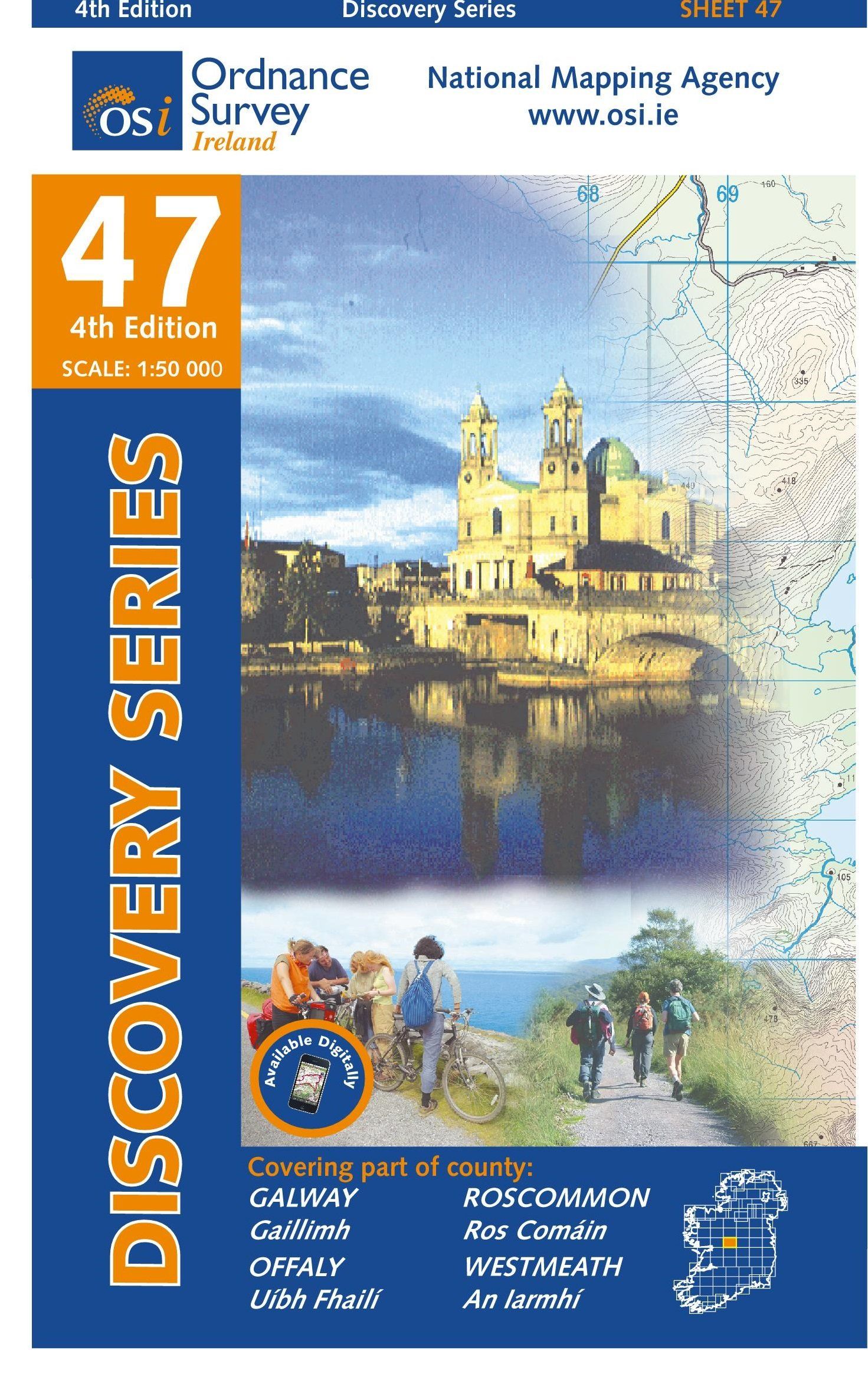
Hiking map No. 47 - Galway, Offaly, Roscommon, Westmeath (Ireland) | Ordnance Survey - Discovery Series

Price
Regular price CHF 1700
Regular price Sale price CHF 1700
/
  • Shipped within 24 à 48h from our warehouse en France
  • Customs duties may apply on import to your country
  • Free returns (*)
  • Real-time inventory
  • Cartovia Guarantee - Delivery Problem?
    We send it back immediately, based on a simple photo.
  • Low stock - 2 items left
  • Backordered, shipping soon
Tax included.

Often purchased together:

Very detailed topographic map with a number of added tourist symbols, such as tourist sites, campsites and hostels. The map includes level curves, a great use of color and hiking routes. National parks and "national reserves" are highlighted on this map.
The map is therefore particularly useful for the experienced map reader as well as for those looking for a map for normal recreational use.
With the classification of the grid and the ITM degree of 1 km, the map can be used with a GPS. An area of ​​about 40 x 30 kilometers is covered by map in this series.


ISBN/EAN : 9781908852663
Publication date: 2017
Scale: 1/50,000 (1cm=500m)
Folded dimensions: 19.3 x 11.1cm
Language(s): French, English, German
Weight: 89 g