Travel map - Chicago & Illinois | ITM
- Shipping within 24 working hours from our warehouse in France
- Choose your delivery method and cost at checkout, before confirming your order.
- Free returns (*)
- Real-time inventory
- In stock, ready to ship
Over 19,500 maps 🗺️ and travel guides, hiking maps, posters, globes, and decor in stock!
Explore the world, one map at a time 🗺️
Cartovia is rated Excellent ⭐️ on Trustpilot — 9,100+ reviews from explorers and map lovers worldwide.
Cartovia is rated Excellent ⭐️ on Trustpilot — 9,100+ reviews from explorers and map lovers worldwide
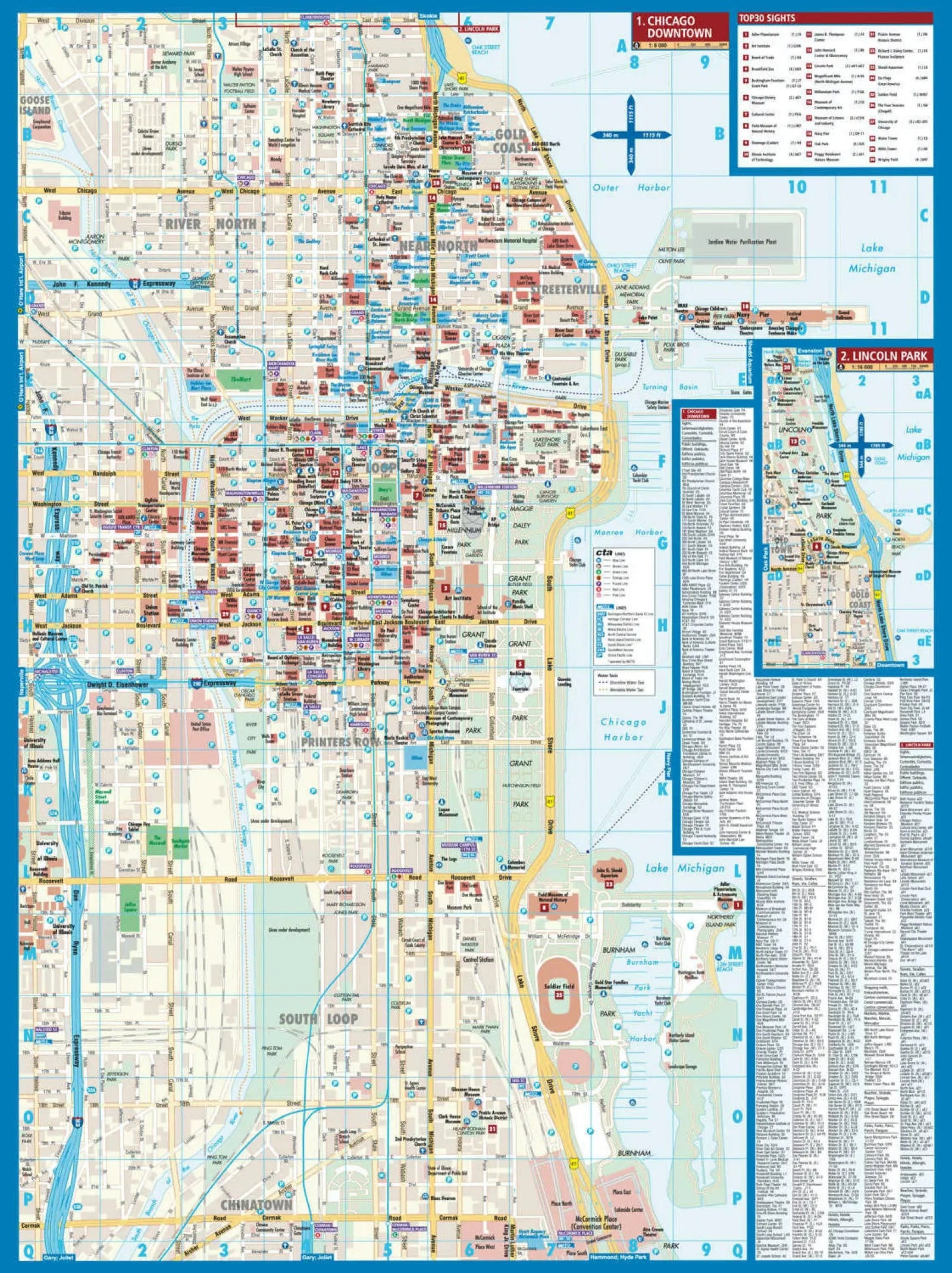
The United States remains a destination of great interest to travelers. Chicago, the third largest city in the country, is home to numerous attractions and museums.
This map covers most of the city proper, stretching from Wrigley Town (yes, the location of the famous Wrigley Field baseball stadium) in the north, to Chinatown and the junctions of I-90 and I-55 in the south.
The downtown area is depicted in detail, with special attention paid to paths in parks, the location of the starting point of Route 66, as well as all public transportation lines, identified by color.
In addition, the map includes two inserts (one on the back):
one showing the public transport network,
another representing the overall urban area,
as well as a small map of the historic Oak Park district .
ISBN/EAN : 9781771291927
Publication date: 2025
Scale: 1/12,000 (1 cm = 120 m) & 1/1,000,000 (1 cm = 10 km)
Printed sides: both sides
Folded dimensions: 24.6 x 10.3 x 0.5cm
Unfolded dimensions: 100 x 68cm
Language(s): English
Weight:
100 g
The exclusive newsletter for travel and discovery enthusiasts!