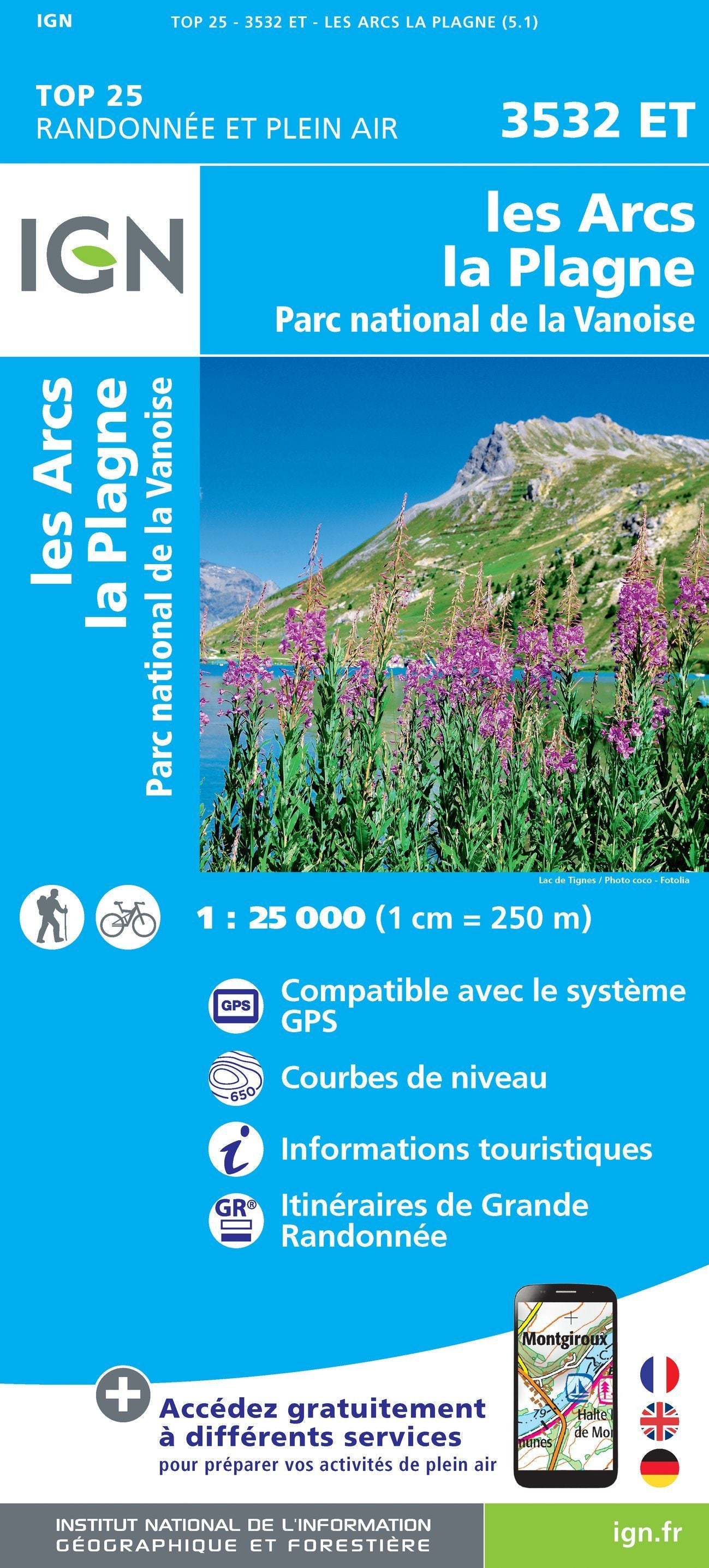
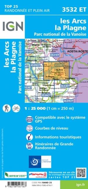
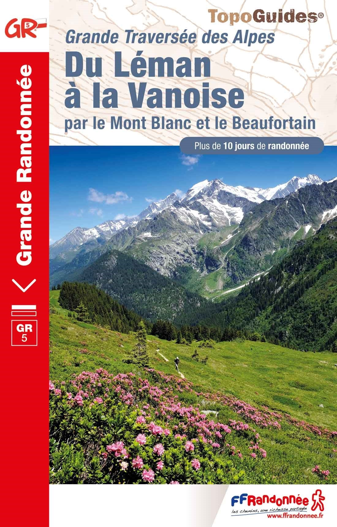
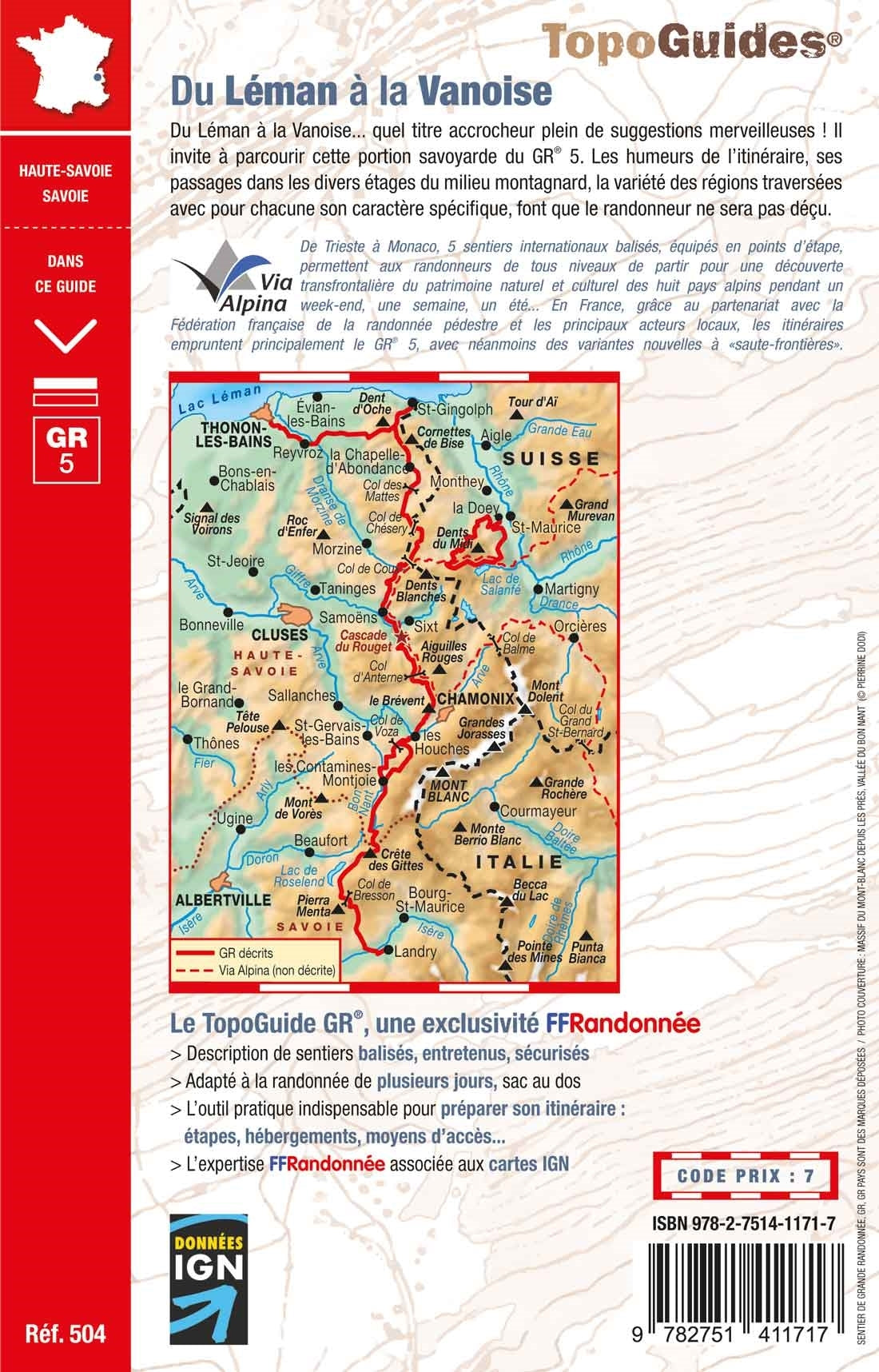
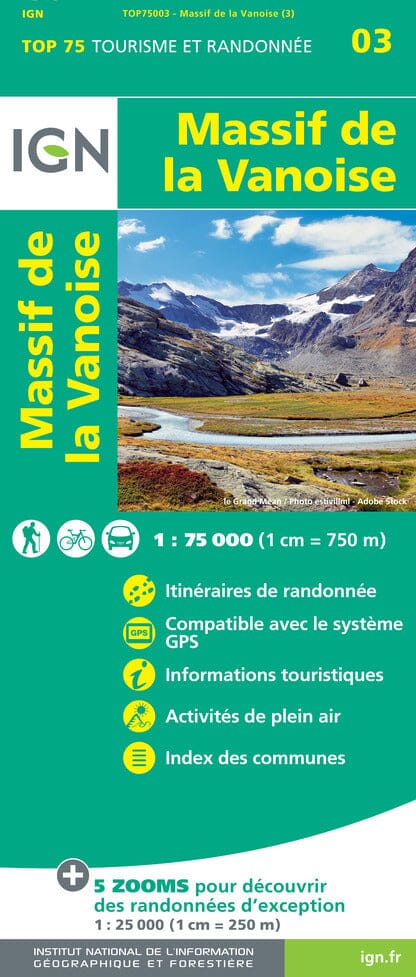
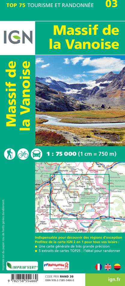
TOP 25 Map No. 3532 ET - Les Arcs & La Plagne (Vanoise National Park) | IGN

Price
Regular price CHF 1400
Regular price Sale price CHF 1400
/
  • Ships within 24 business hours from our warehouse in France
  • Free returns (*)
  • Real-time stock levels
  • Cartovia Guarantee – Delivery issue?
    We resend immediately upon receiving a simple photo.
  • In stock, ready to ship
  • Backordered, shipping soon
Tax included.

Frequently bought together:

Top 25 map around the Arcs and La Plagne, including part of the Vanoise National Park. This map published by IGN stretches from Bourg - St-Maurice to Val Isère (from north to south), and love on the Italian border (from west east).

Hiking map with space curves spaced 10 meters and detailed legend (vegetation, rocks, streams etc ...).

Indication of hiking trails. Scale 1/25 000 (1 cm = 250 m).


ISBN/EAN : 9782758547167
Publication date: 2018
Scale: 1/25,000 (1cm=250m)
Printed sides: front
Folded dimensions: 23.6 x 11.2 x 0.5cm
Unfolded dimensions: 96 x 132cm
Language(s): French, English, German
Weight: 89 g