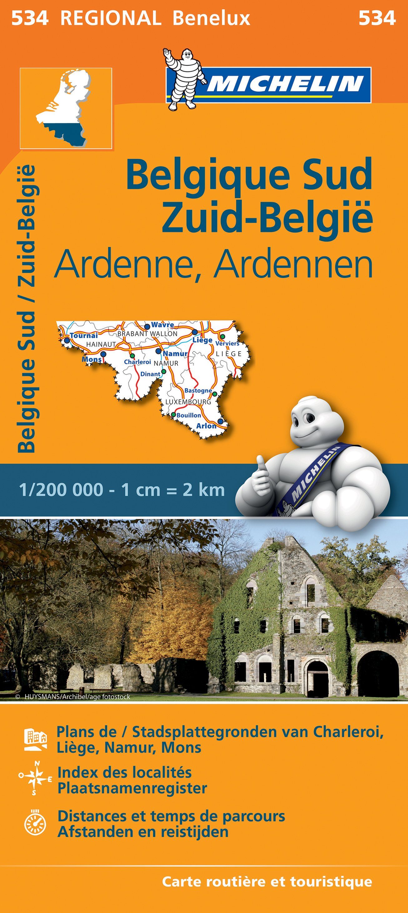
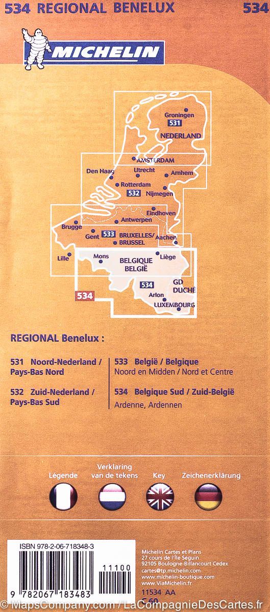
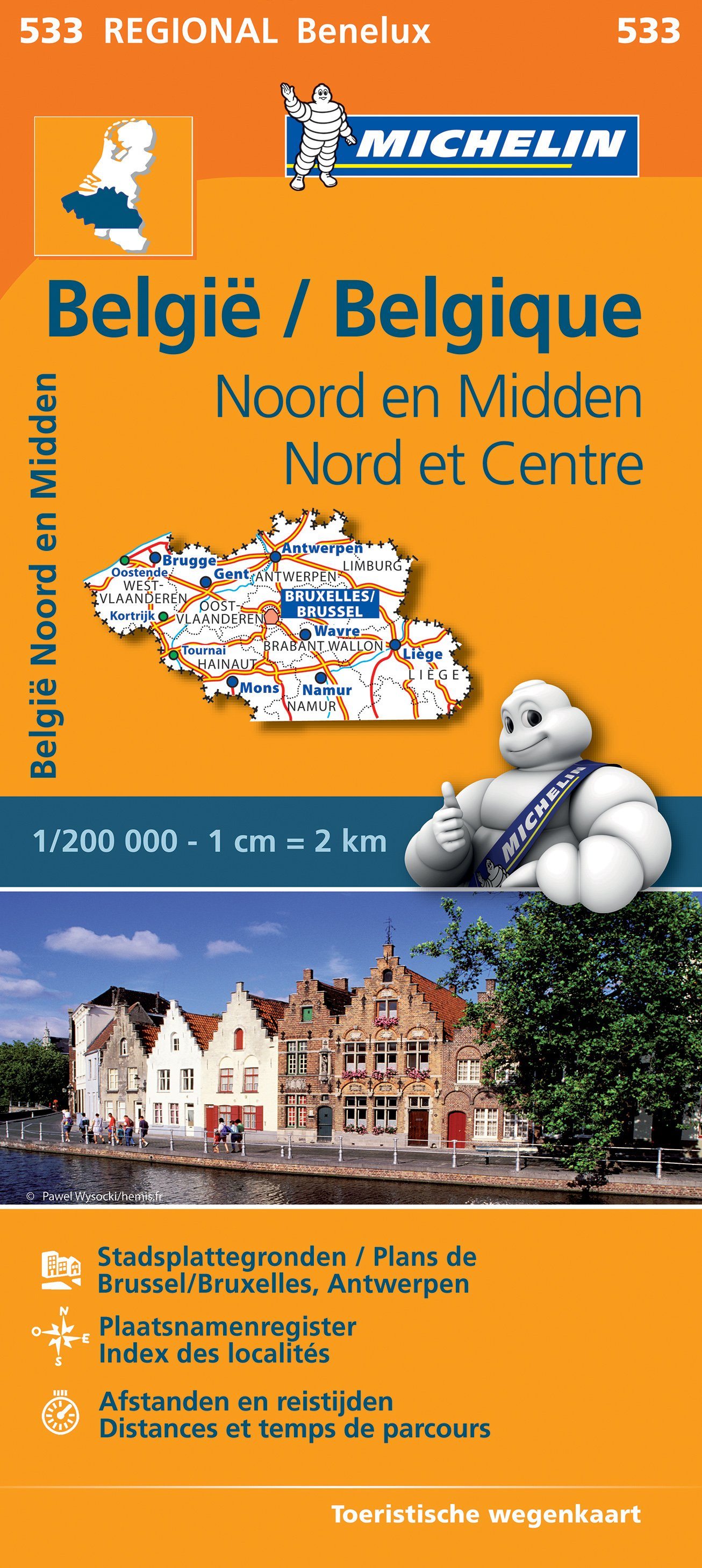
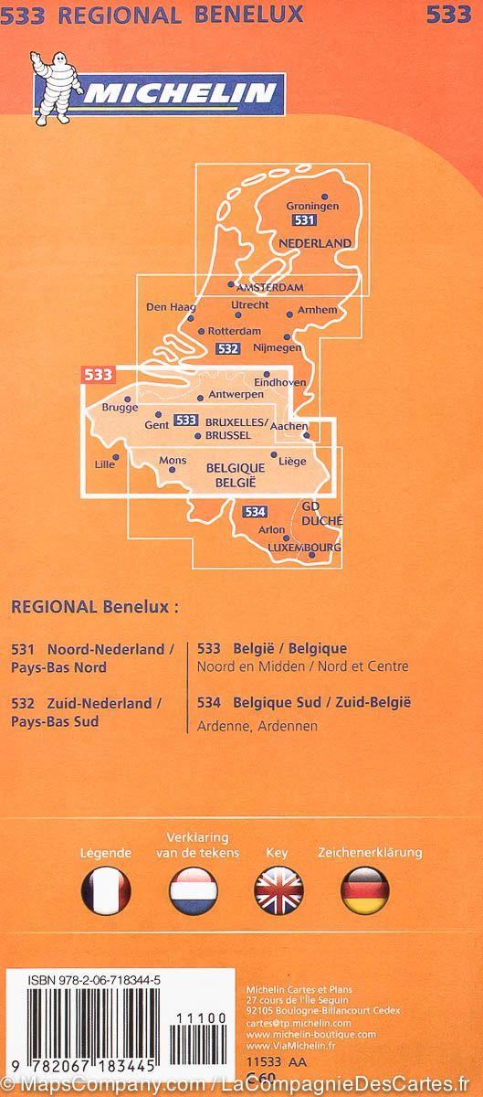
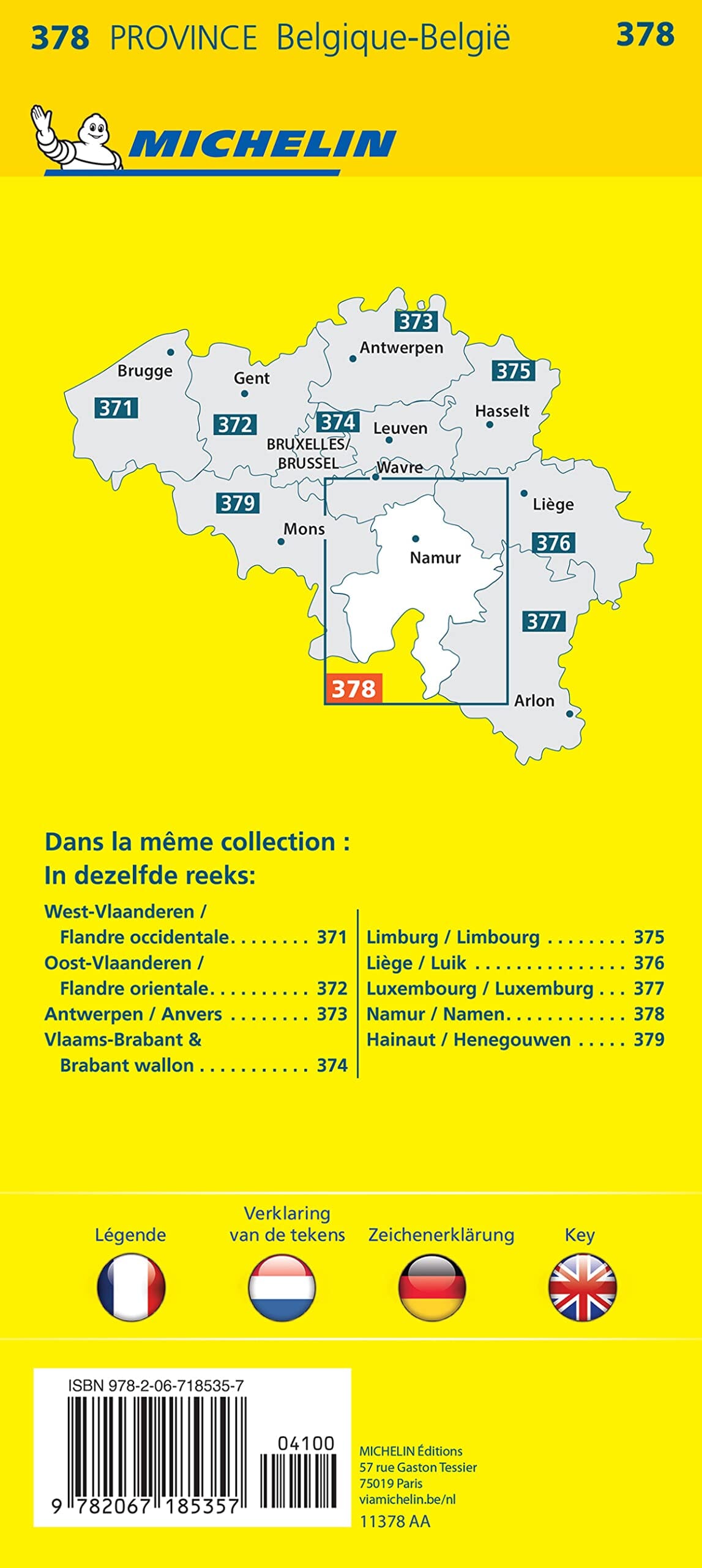
Walking map - St-Vith and the upper Amblève valley (Belgium) | NGI

Price
Regular price CHF 900
Regular price Sale price CHF 900
/
  • Ships within 24 business hours from our warehouse in France
  • Free returns (*)
  • Real-time stock levels
  • Cartovia Guarantee – Delivery issue?
    We resend immediately upon receiving a simple photo.
  • In stock, ready to ship
  • Backordered, shipping soon
Tax included.

Frequently bought together:

Marked walking trails with junction points.

The ancient low mountain range (340-600 m) is the heart of the southern part of the German-speaking community of Belgium. The pleasant town of Sankt Vith and its surroundings are located at the crossroads of the Eifel and the Ardennes. The cohesive landscape, marked by the upper Amblève valley, is one of the most remarkable in Belgium. On its course through meadows and forests, the "Amblève" river is fed by numerous streams that meander through pretty villages on the slopes of the valley.


ISBN/EAN : 9789462356818
Publication date: 2024
Scale: 1/25,000 (1cm=250m)
Folded dimensions: 12 x 23cm
Language(s): French
Weight: 50 g