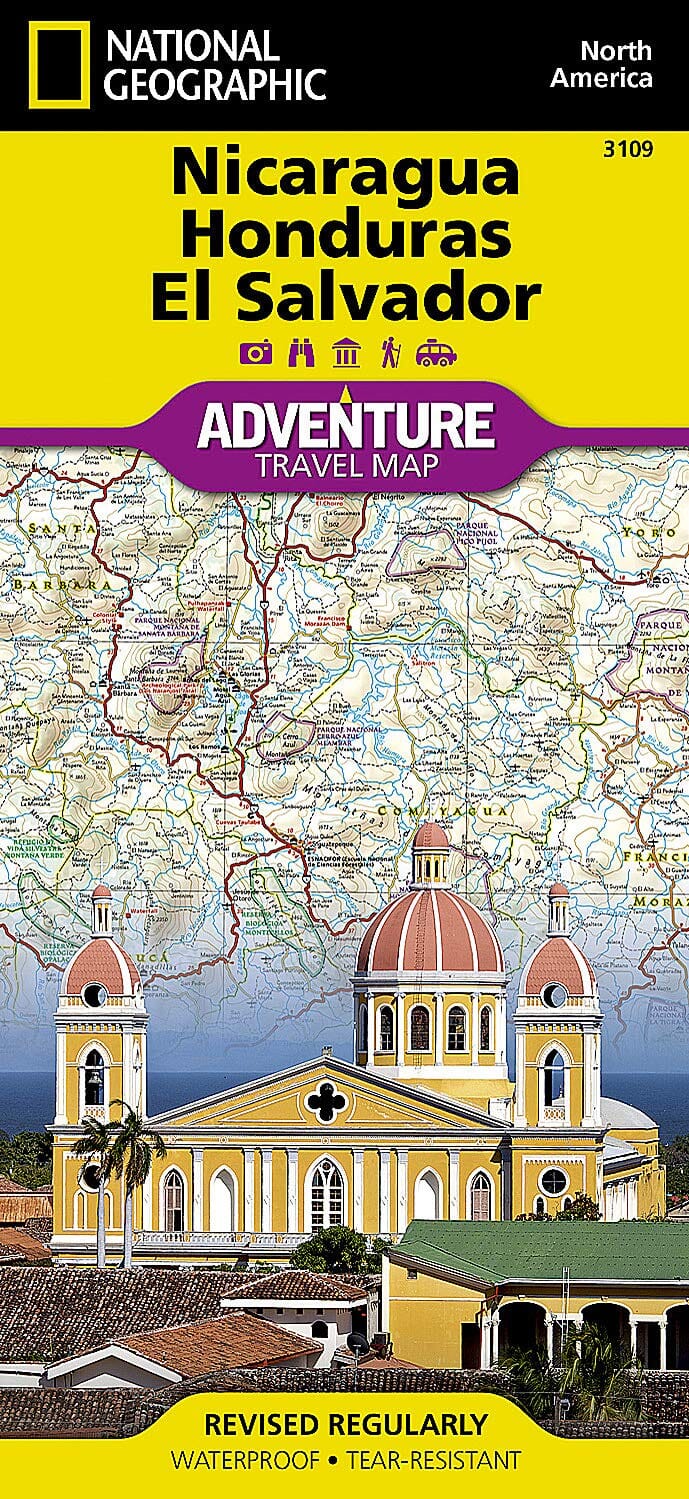
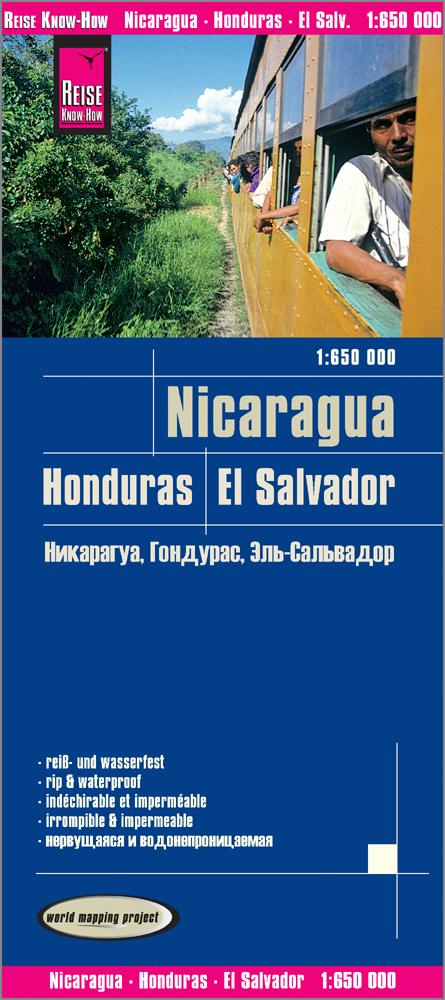
Travel Map - Nicaragua & Honduras | ITM

Price
Regular price CHF 1400
Regular price Sale price CHF 1400
/
  • Shipped within 24 to 48h from our warehouse in France
  • Customs duties may apply on import to your country
  • Free returns (*)
  • Real-time stock levels
  • Cartovia Guarantee – Delivery issue?
    We resend immediately upon receiving a simple photo.
  • In stock, ready to ship
  • Backordered, shipping soon
Tax included.

Frequently bought together:

This waterproof road map of Nicaragua and Honduras, published by ITM, is tear-resistant and shows one country on each side.

  • Honduras: relief, beaches, Copán Mayan complex, Lake Yojoa, colonial heritage and a large Tegucigalpa map.
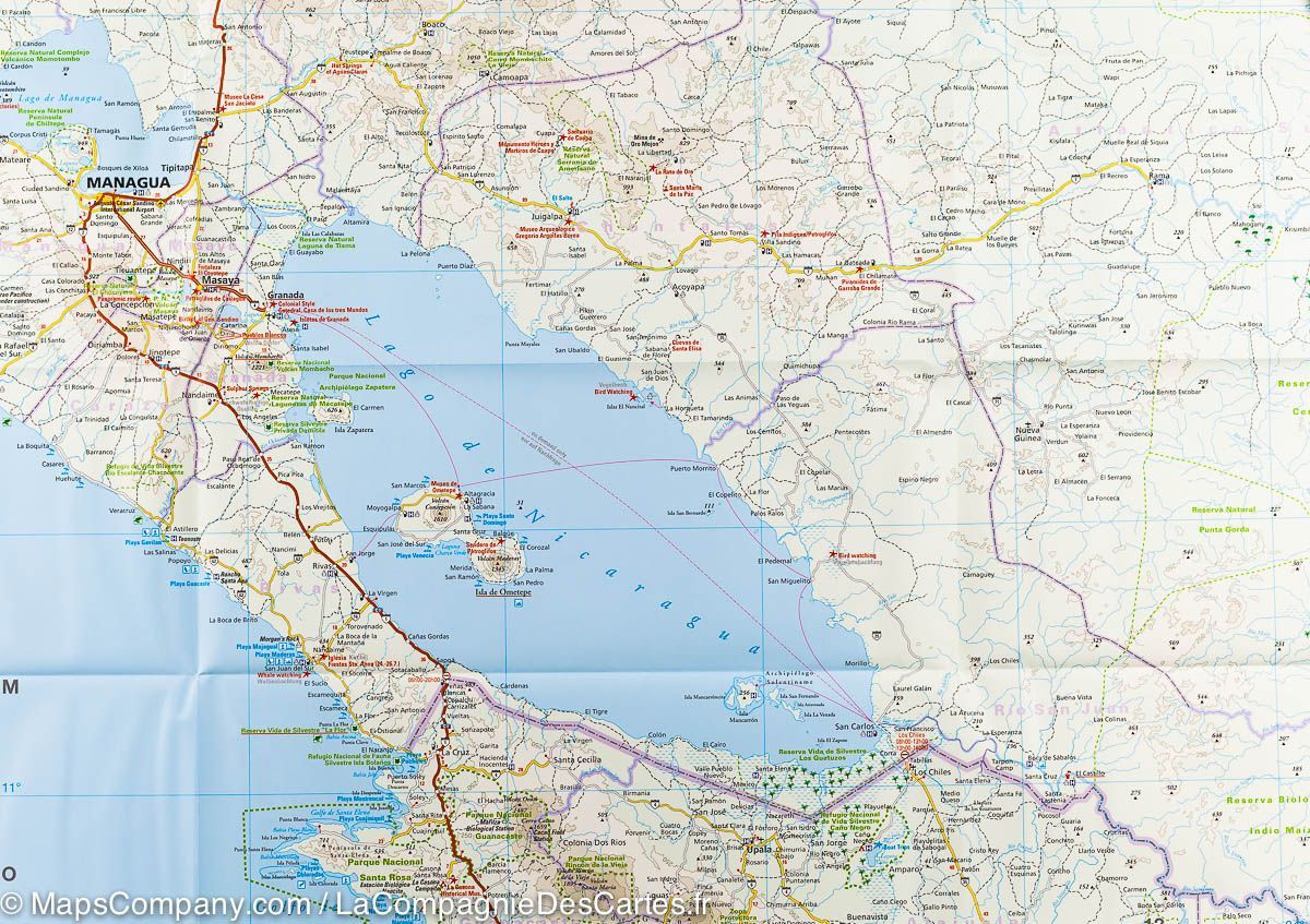
  • Nicaragua: Granada, the Matagalpa region, Lake Nicaragua and offshore islands, with a Managua map.
  • Maps of Managua, León, San Juan del Sur, Isla de Ometepe, Corn Islands, Miskito Cays and Tegucigalpa.
  • Distances on major roads, petrol stations, ferry links and city index.


ISBN/EAN : 9781771295666
Publication date: 2019
Scale: 1/700,000 (1cm=7km)
Printed sides: both sides
Folded dimensions: 24.6 x 10.3 x 0.5cm
Unfolded dimensions: 100 x 69cm
Language(s): English Spanish
Weight: 86 g