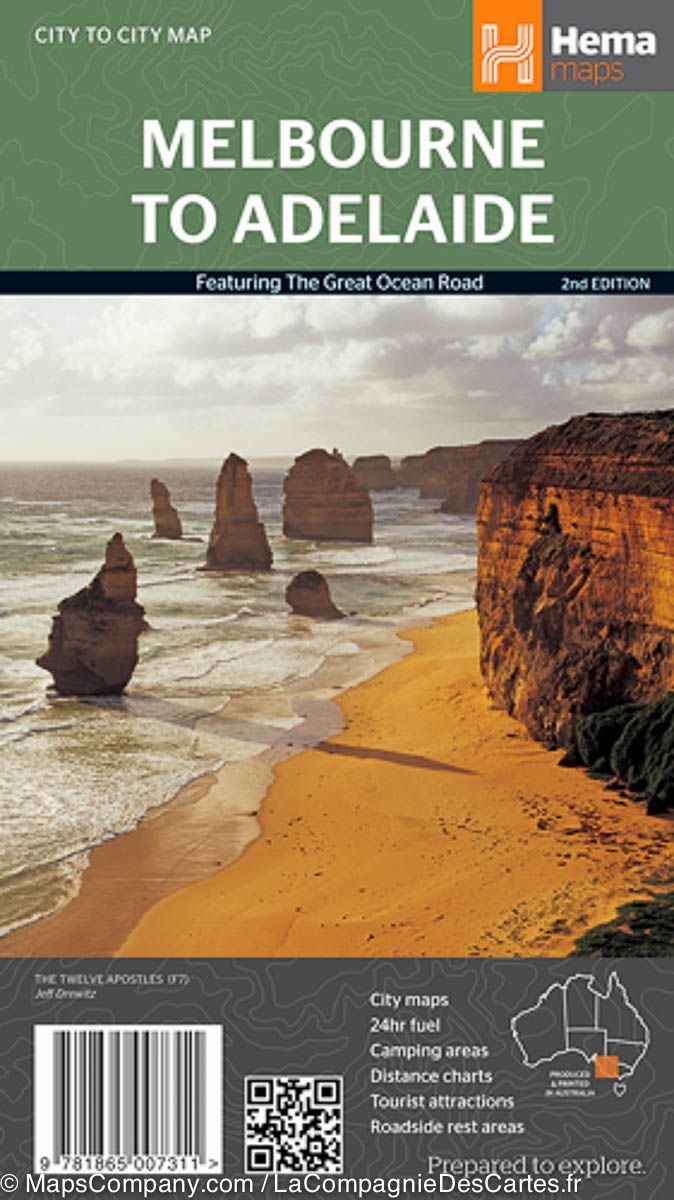
This map is part of the new High Country Victoria map series and covers areas of the Southern Ranges, including Baw Baw to Dargo and the surrounding area.
Printed on durable, waterproof paper, this map features Hema's iconic cartography and numerous points of interest.
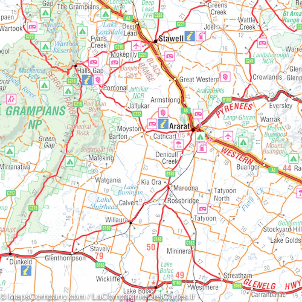
It combines Hema's entire database of roads and 4WD tracks with tourist points of interest and topographical information.
Also included are seasonal track closures, camping areas, old town sites, huts, accommodation, and distances.
Key Features:
• 4WD Tracks
• Campgrounds
• Old Town Sites
• Seasonal Track Closures
• Driving Distances
• Accommodation


