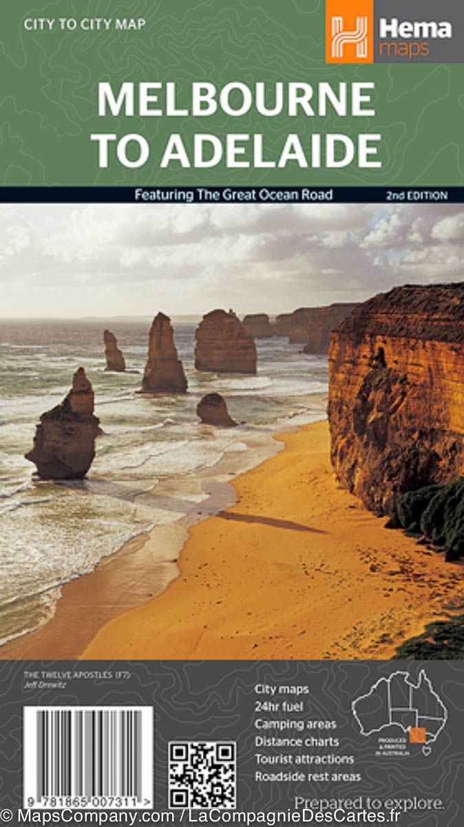
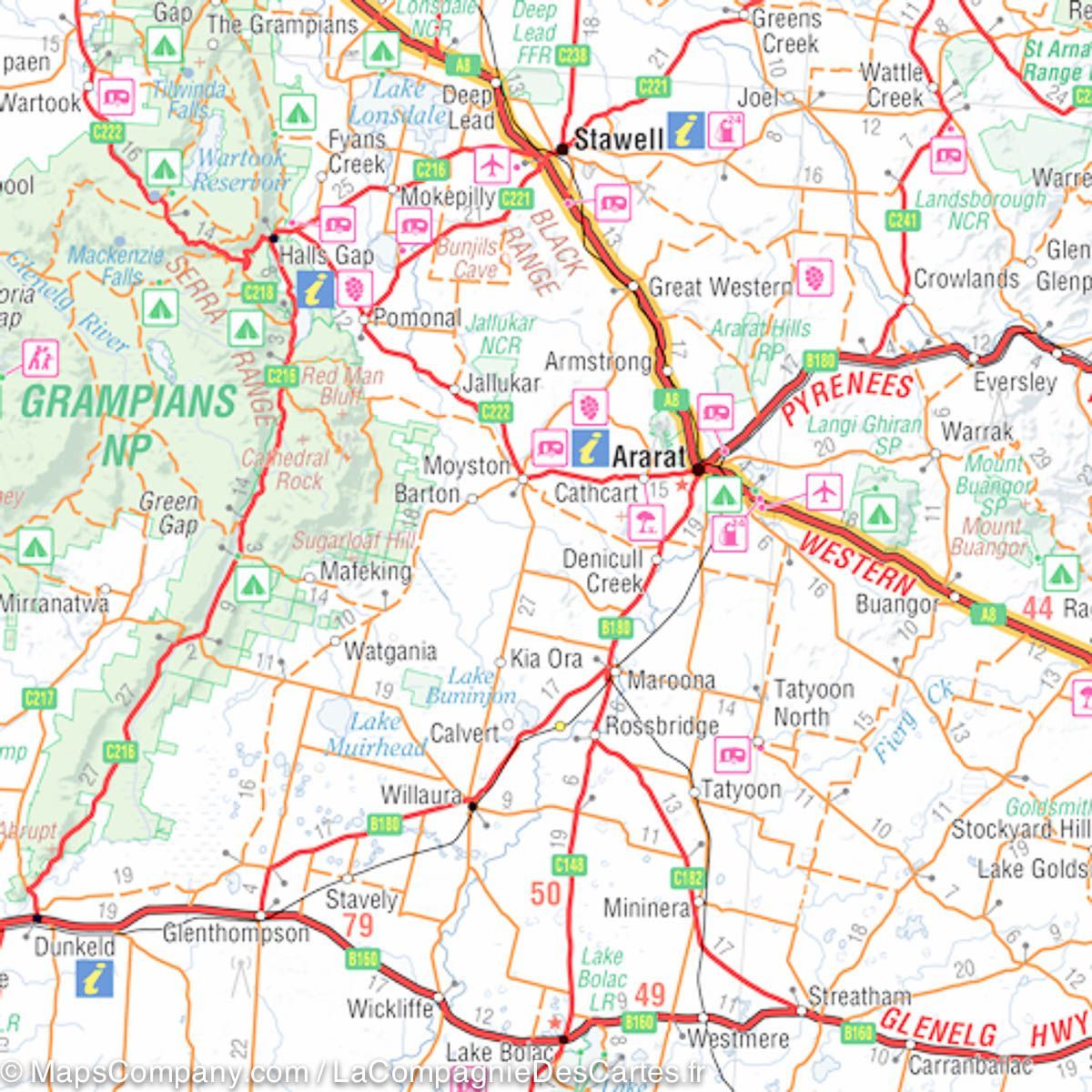
Road Map - High Country Victoria (North West) | Hema Maps

Price
Regular price CHF 1600
Regular price Sale price CHF 1600
/
  • Ships within 24 business hours from our warehouse in France
  • Free returns (*)
  • Real-time stock levels
  • Cartovia Guarantee – Delivery issue?
    We resend immediately upon receiving a simple photo.
  • Low stock - 2 items left
  • Backordered, shipping soon
Tax included.

Frequently bought together:

This map is part of the new High Country Victoria map series and covers the North West Alps region including Hotham, Wangaratta and surrounds.

Printed on durable waterproof paper, this map features Hema's iconic cartography and numerous points of interest.

It combines Hema's entire database of roads and 4WD tracks with tourist points of interest and topographical information.

Also included are seasonal track closures, camping areas, old town sites, huts, accommodation and distances.

Key Features:
• 4WD Tracks
• Campgrounds
• Old Town Sites
• Seasonal Track Closures
• Driving Distances
• Accommodation


ISBN/EAN : 9321438001720
Publication date: 2020
Scale: 1/100,000 (1cm=1km)
Printed sides: both sides
Folded dimensions: 25x14cm
Unfolded dimensions: 100x70cm
Language(s): English
Weight: 90 g