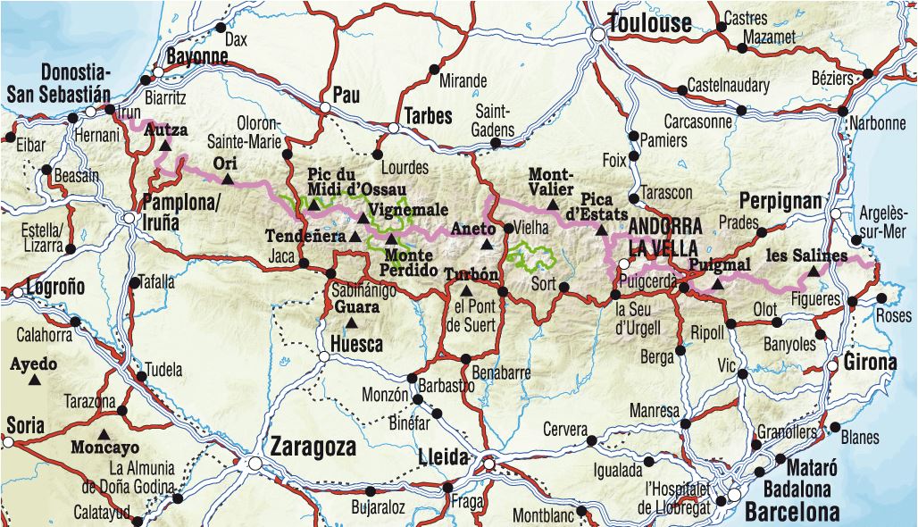
Relief map - The Pyrenees massif and the routes to Santiago de Compostela - 62 X 32 cm
- Delivery costs calculated instantly in the basket
- Real-time inventory
Over 19,500 maps 🗺️ and travel guides, hiking maps, posters, globes, and decor in stock!
Explore the world, one map at a time 🗺️
Cartovia is rated Excellent ⭐️ on Trustpilot — 9,100+ reviews from explorers and map lovers worldwide.
Cartovia is rated Excellent ⭐️ on Trustpilot — 9,100+ reviews from explorers and map lovers worldwide
Thematic hiking map developed in collaboration with the French Hiking Federation (FFRP) and the French Agency for the Ways of Compostela.
This relief map of the Pyrenees is crossed by the major hiking trails (GR®) to Santiago de Compostela: the coastal route, the Vézelay route, the Puy-en-Velay route, the Arles route, the Pyrenean foothills route, the Via Garona, and the Great Pyrenees Crossing (GR10®)
ISBN / EAN : 9782361681333
Date de publication : 2023
Echelle : 1.9cm=10km
Impression: front
Dimensions déplié(e) : 62 X 32cm
Langue : French
Poids :
50 g
The exclusive newsletter for travel and discovery enthusiasts!