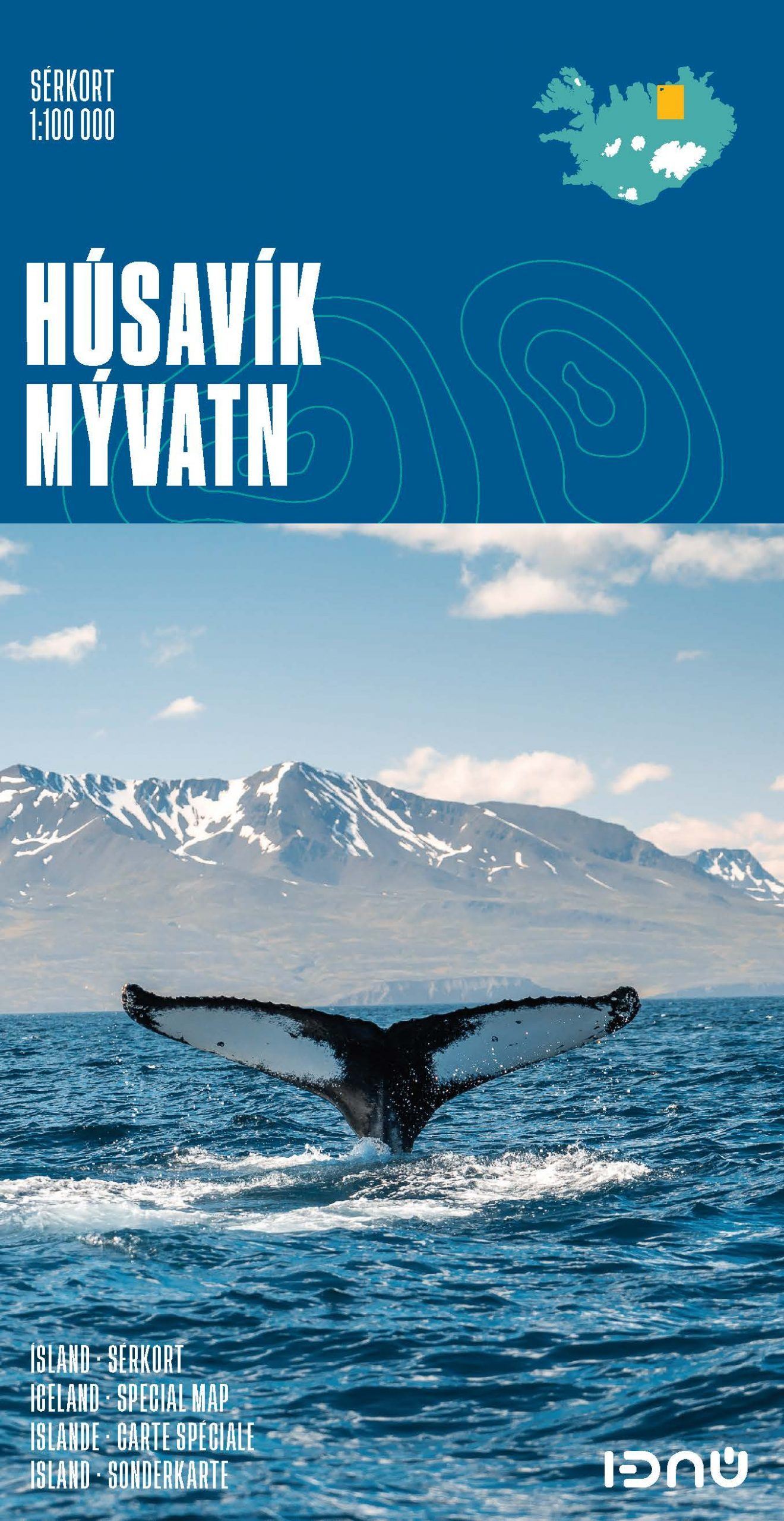
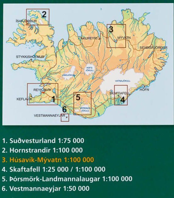
Iceland hiking map - Norduardalur 35 | Ferdakort - Atlaskort

Price
Regular price CHF 2100
Regular price Sale price CHF 2100
/
  • Ships within 24 business hours from our warehouse in France
  • Free returns (*)
  • Real-time stock levels
  • Cartovia Guarantee – Delivery issue?
    We resend immediately upon receiving a simple photo.
  • Low stock - 2 items left
  • Backordered, shipping soon
Tax included.

Frequently bought together:

One of the topographic maps of Iceland published by Ferdakort. Scale 1/100 000. This detailed map of Iceland shows the relief with space lines spaced 20 meters, roads, tracks and many place names. The nature of the terrain is also indicated (lava, clay, rocks, sand, dune, meadows etc ...).


ISBN/EAN : 5690000234137
Publication date: 2008
Scale: 1/100,000 (1cm=1km)
Unfolded dimensions: 56 x 51cm
Language(s): Icelandic
Weight: 48 g