Hiking map - Mount Dirfis, Mount Xerovouni, Euboea | Anavasi

Price
Regular price CHF 1100
Regular price Sale price CHF 1100
/
  • Shipped within 24 to 48h from our warehouse in France
  • Customs duties may apply on import to your country
  • Free returns (*)
  • Real-time stock levels
  • Cartovia Guarantee – Delivery issue?
    We resend immediately upon receiving a simple photo.
  • In stock, ready to ship
  • Backordered, shipping soon
Tax included.

Frequently bought together:

The Mount Dirfis & Mount Xerovouni hiking map, published by Anavasi, covers one of the most interesting regions of the Greek island of Euboea. At 1:25,000, it offers an excellent level of detail for exploring these mountain ranges, which are easily accessible from Athens.

Mount Dirfis, the island's highest peak, and the neighbouring Xerovouni range offer a wide variety of routes through chestnut forests and with spectacular views of the Aegean Sea. This expanded new edition also includes the area between Xerovouni and Kymi, as well as the well-known climbing sites of Manikia and Vrysi.

Features

  • Scale: 1:25,000, offering high precision for hiking.
  • Area covered: Mount Dirfis, Mount Xerovouni, Manikia and Kymi, Euboea, Greece.
  • 25 suggested hiking routes.
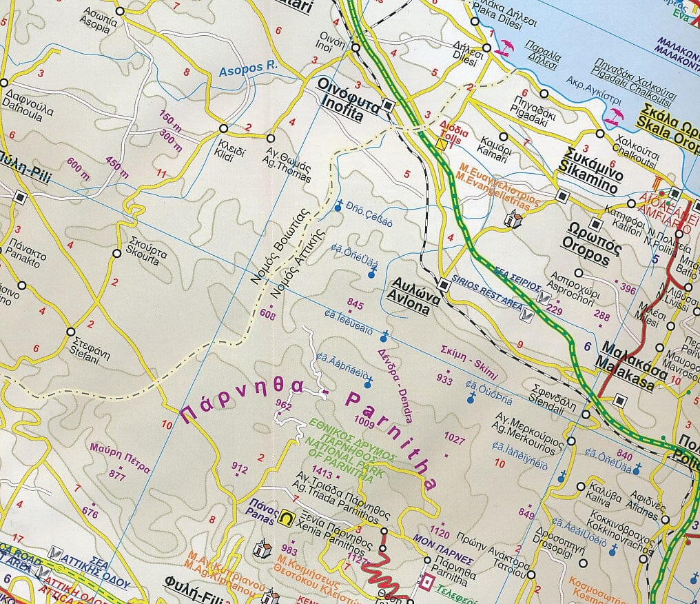
  • Detailed relief with exceptionally clear terrain mapping.
  • Includes the Manikia and Vrysi climbing areas.
  • Ideal for hiking, nature weekends and trips from Athens.
  • Printed on waterproof, durable Polyart paper.


ISBN/EAN : 9786185823092
Publication date: 2026
Scale: 1/25,000 (1cm=250m)
Folded dimensions: 12 x 23cm
Language(s): English, Greek
Weight: 81 g