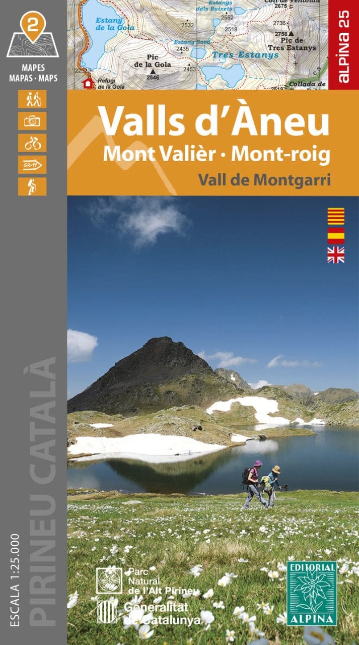
A hiking map that can also be used as a cycling map (with some mountain bike routes) and a road map to explore the Ebro Delta and find good birdwatching spots. It features extensive details, including all hard and unpaved roads, accessibility, and available facilities such as observation huts and elevations.
The map has a topographical background with contour lines, peaks, shadows on mountain ridges, roads and villages, hamlets, and even farms. In addition, some hiking trails are marked, including GR and PR trails, regional long-distance hiking trails.