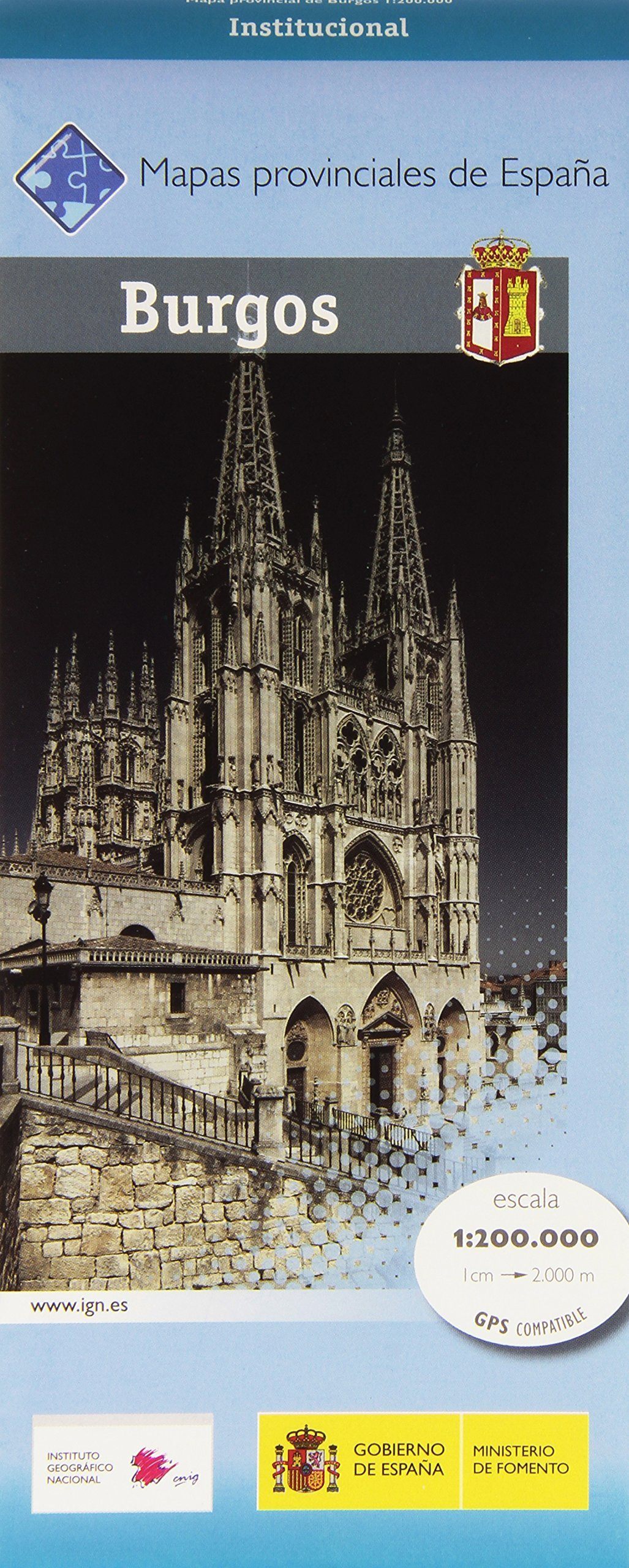
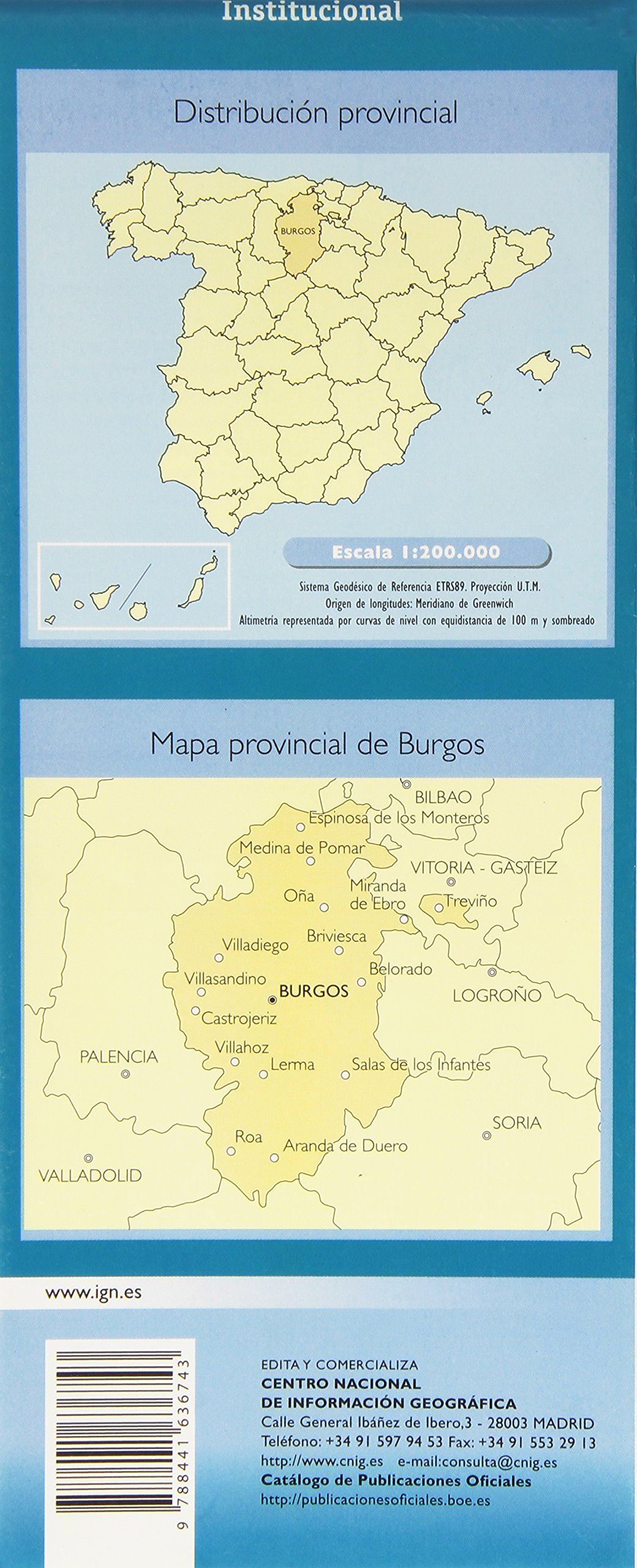
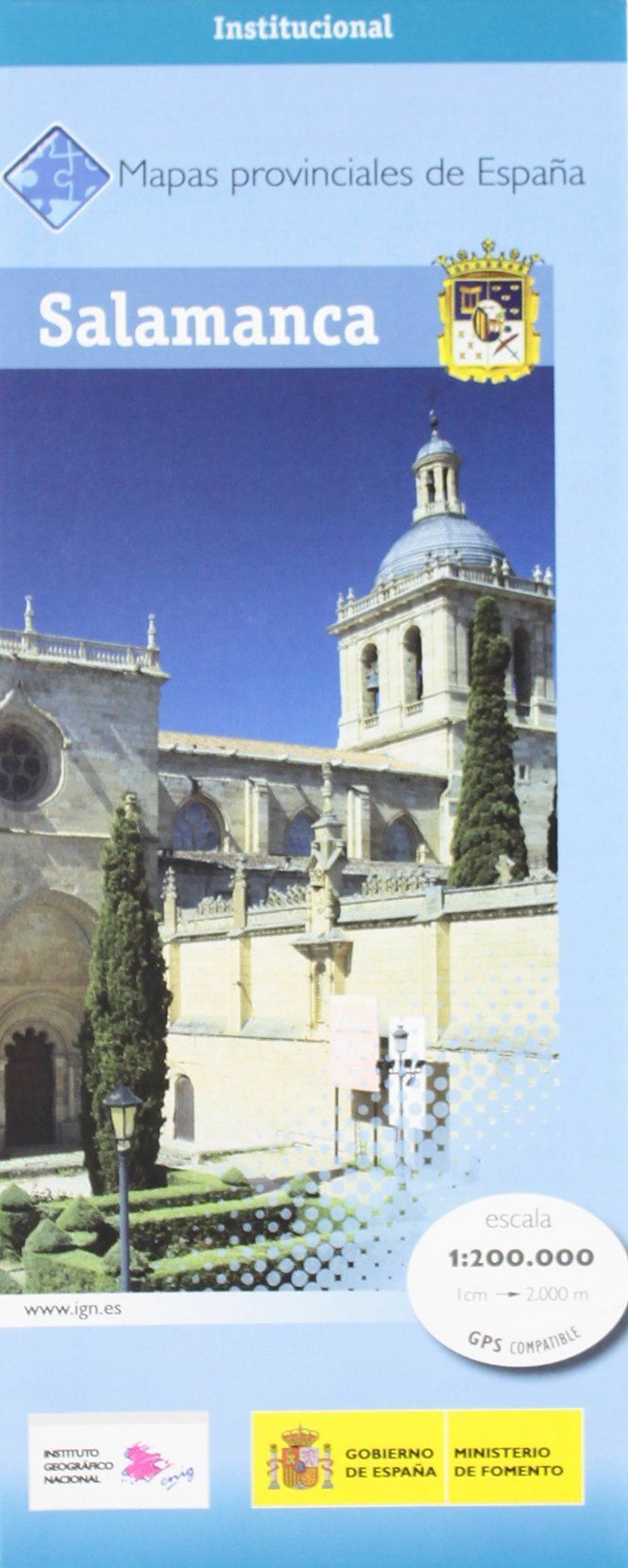
Provincial road map No. 10 - Burgos (Castile and Leon, Spain) | CNIG
Regular price
CHF 900
Regular price
Sale price
CHF 900
/
- Shipped within 24 to 48h from our warehouse in France
- Customs duties may apply on import to your country
- Free returns (*)
- Real-time stock levels
-
Cartovia Guarantee – Delivery issue?
We resend immediately upon receiving a simple photo.
- In stock, ready to ship