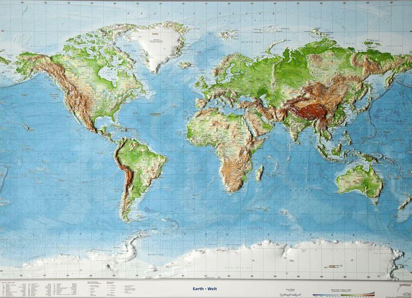
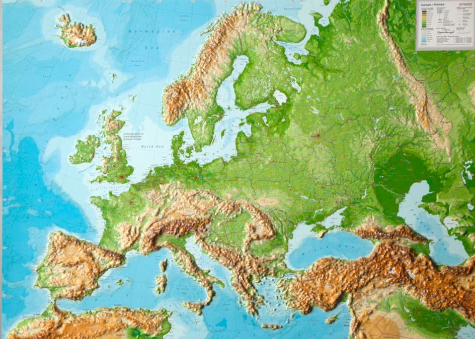
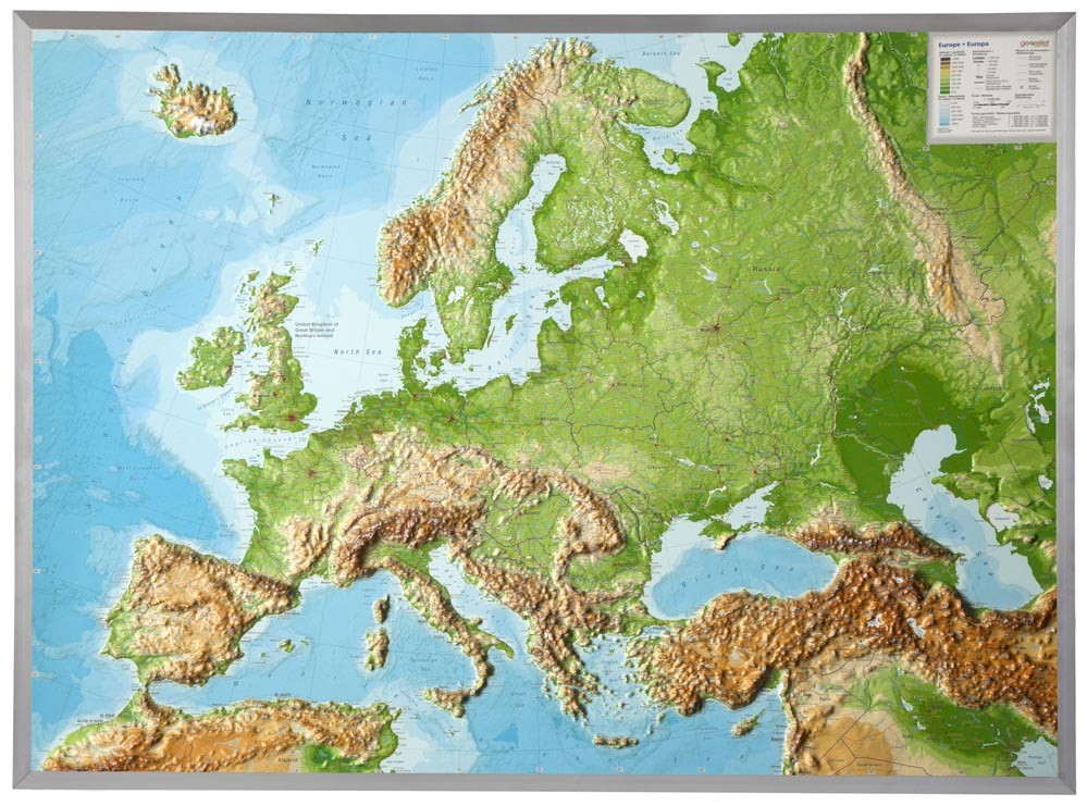
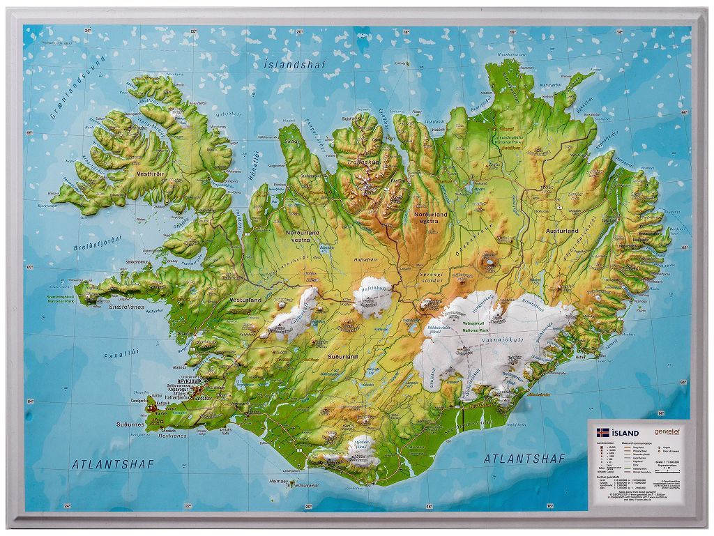
Raised relief wall map – Switzerland (trilingual) – 77 × 57 cm | GeoRelief
Regular price
CHF 7300
Regular price
Sale price
CHF 7300
/
- Shipped within 24 to 48h from our warehouse in France
- Customs duties may apply on import to your country
- Real-time inventory
-
Cartovia Guarantee – Delivery issue?
We resend immediately upon receiving a simple photo.
- In stock, ready to ship