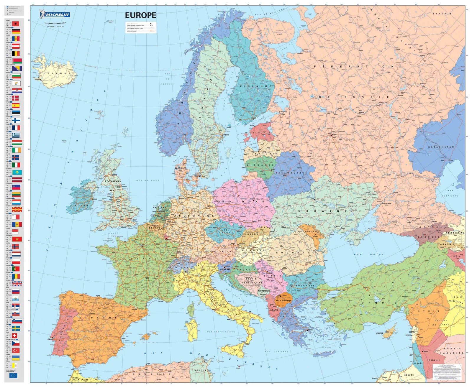
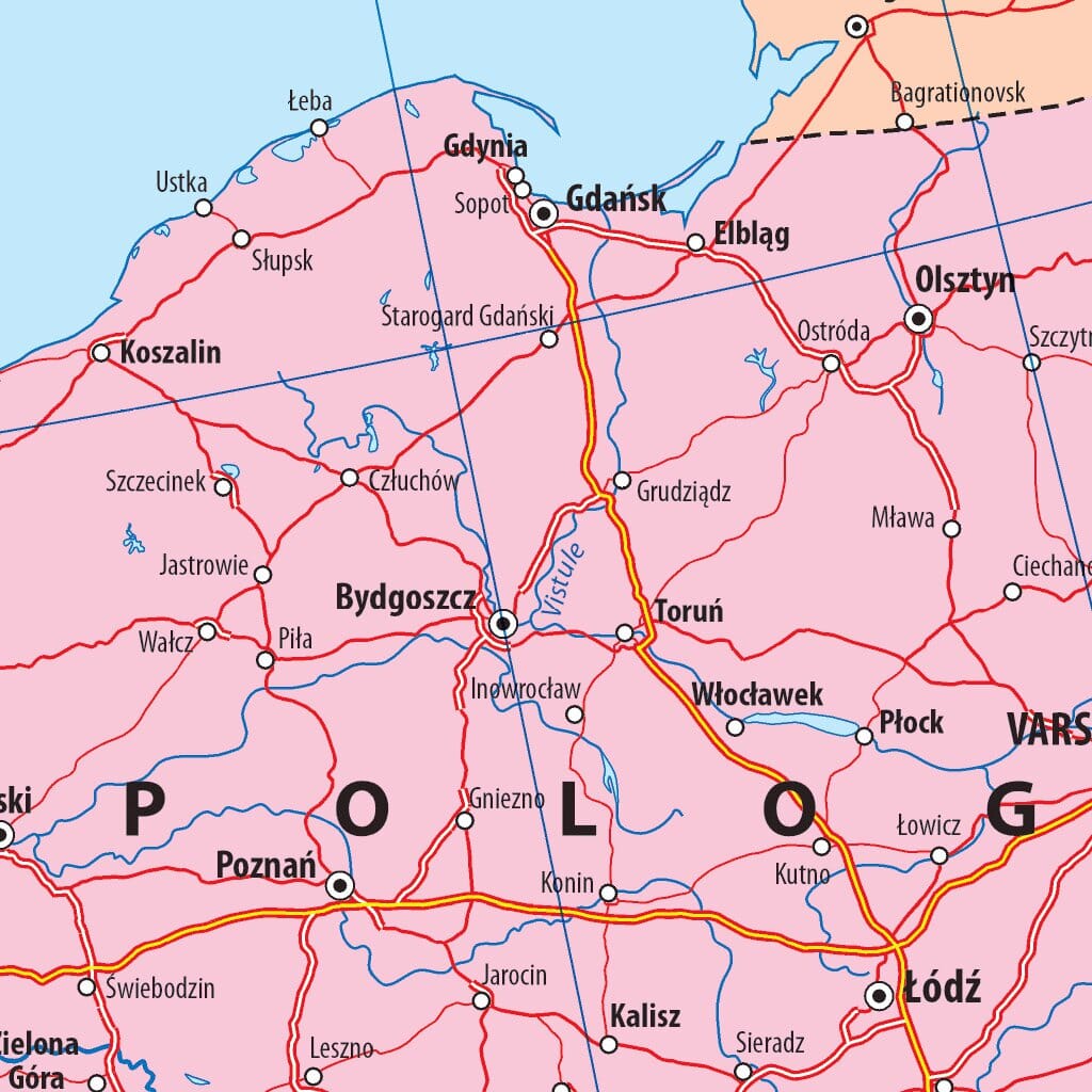
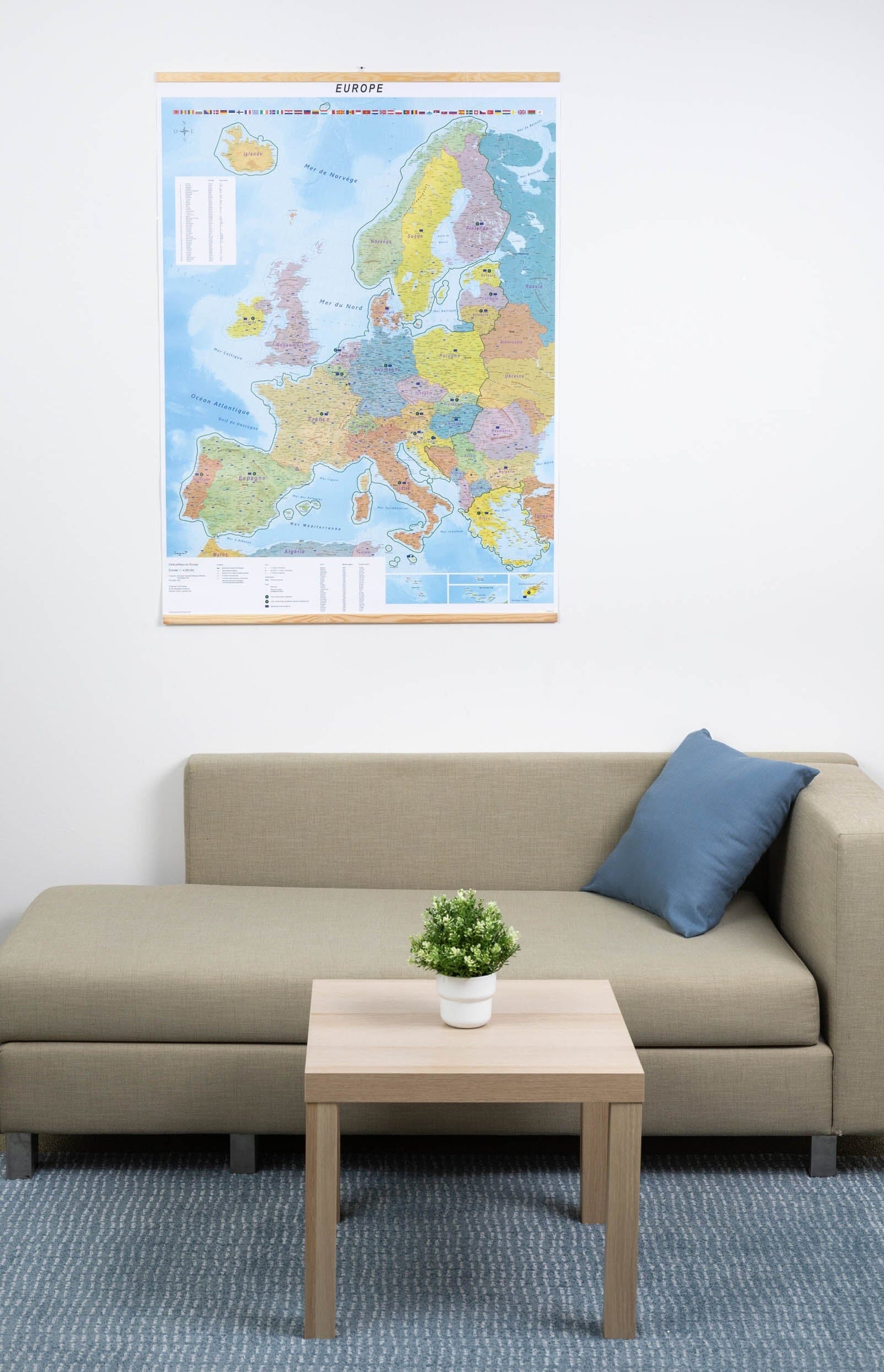
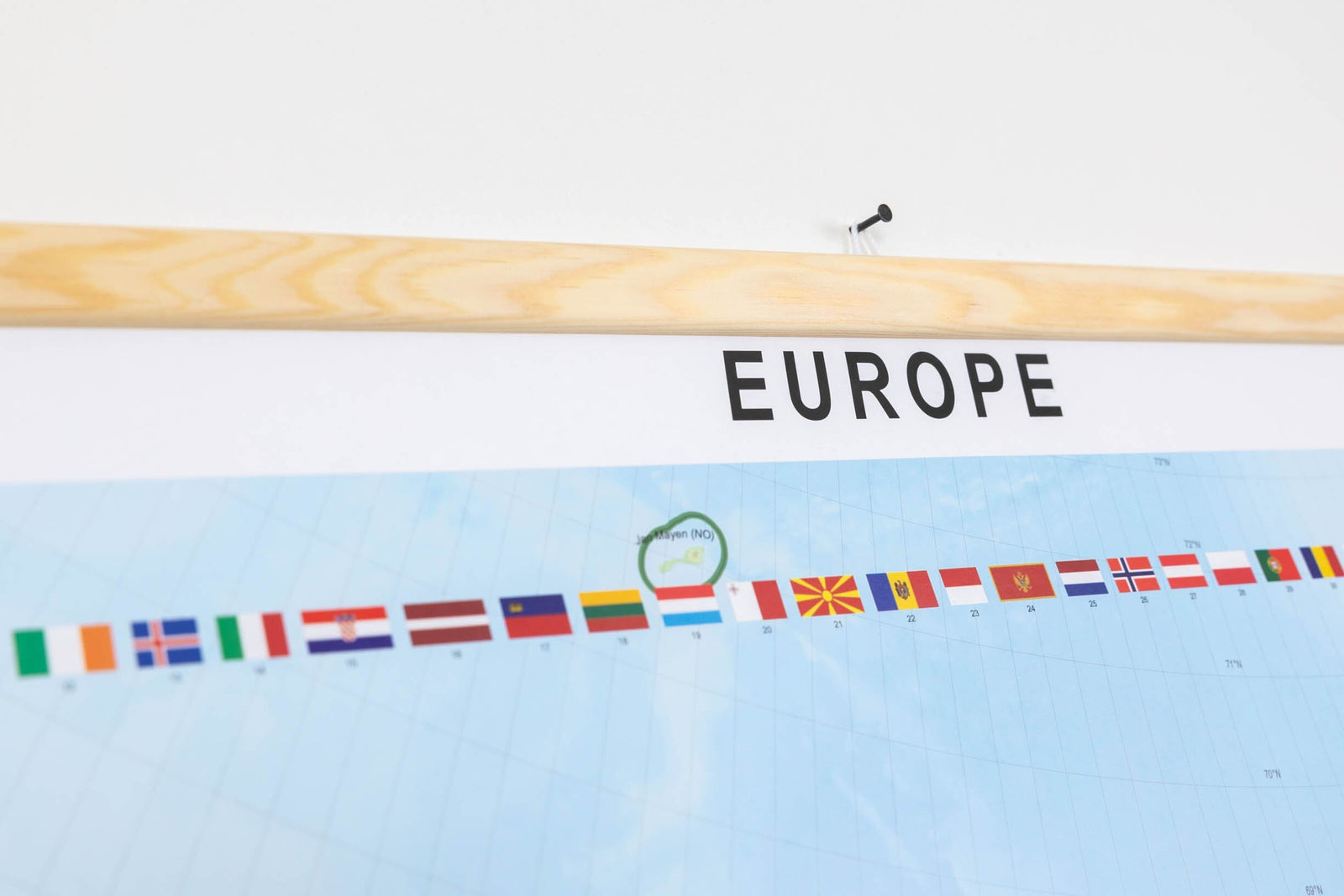
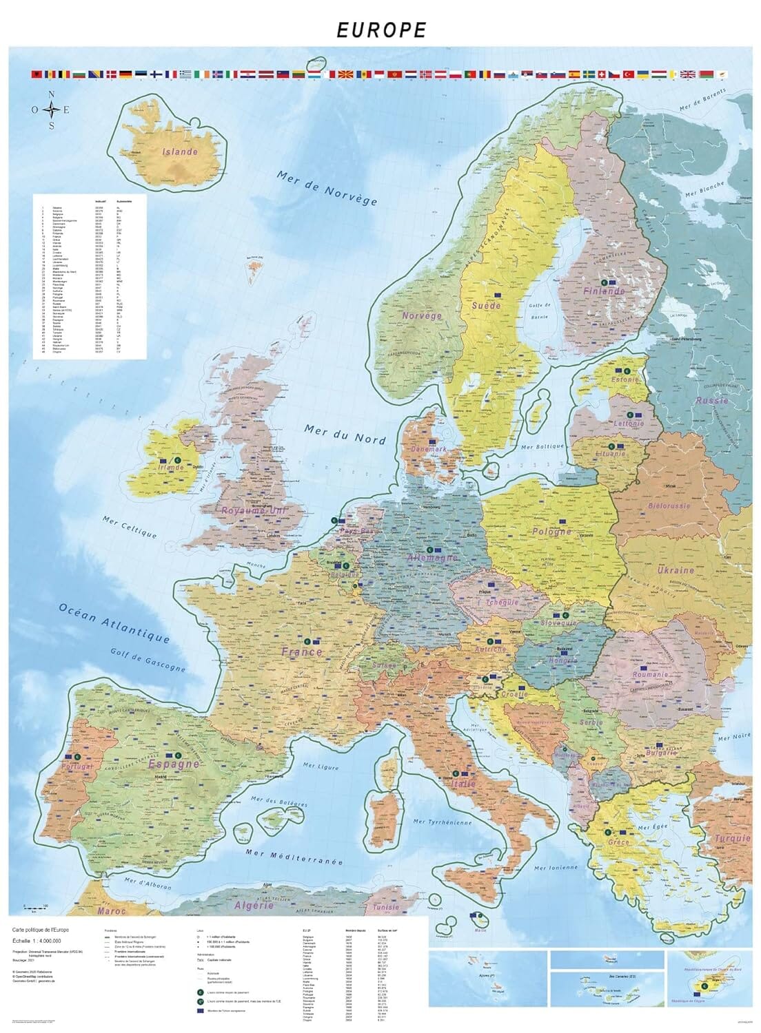
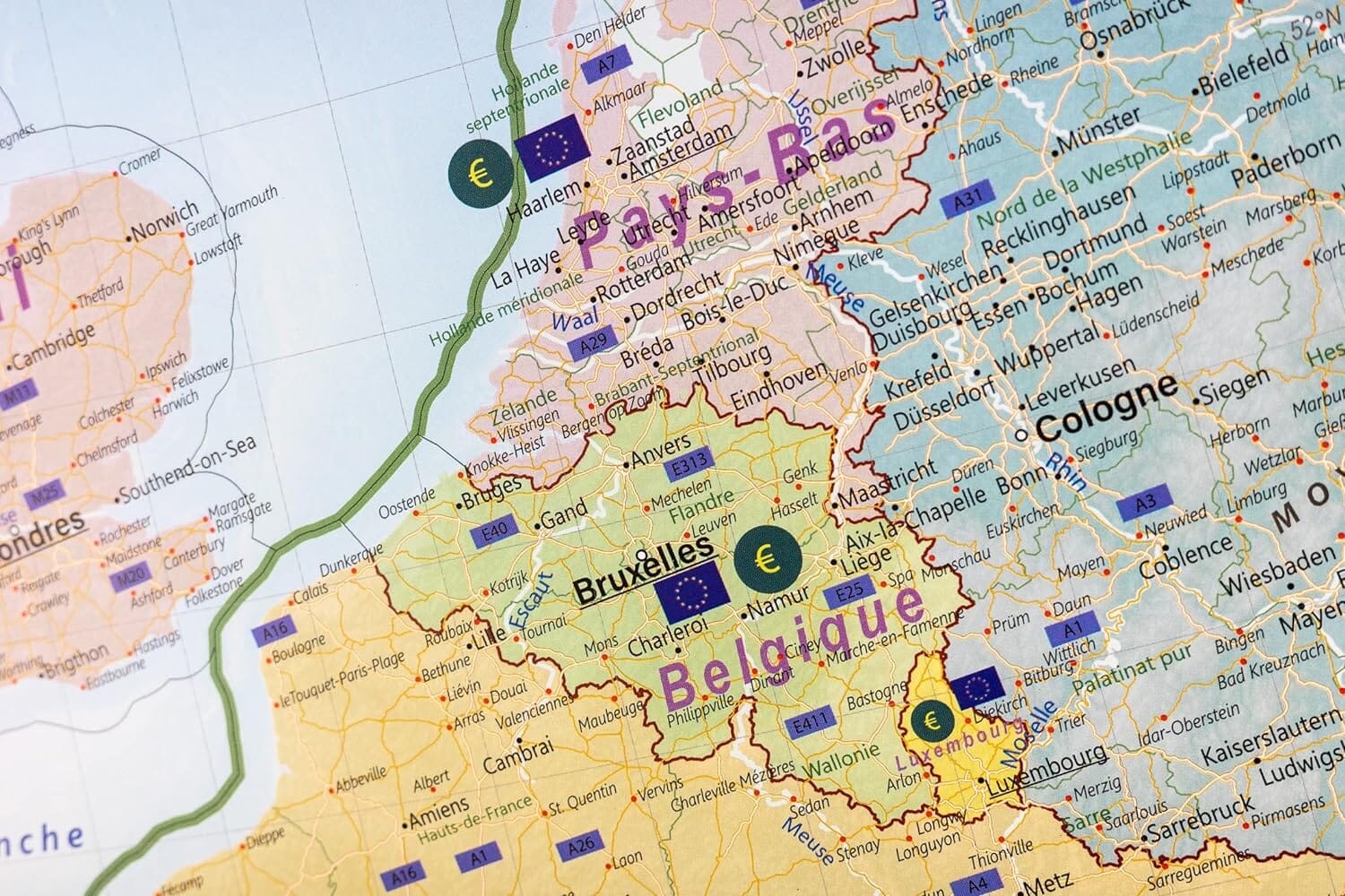
Laminated wall map - Physical Europe - 126 x 100 cm | Kummerly & Frey
- Expédition sous 7 à 10 jours ouvrés depuis notre entrepôt en France
- Frais de livraison calculés instantanément dans le panier
Plus de 19 500 cartes 🗺️ et guides de voyage, cartes de randonnée, posters, globes, déco en stock !
La Compagnie des Cartes devient Cartovia ✨ Notée Excellent ⭐️ sur Trustpilot (9 000+ avis).
Livraison gratuite pour toute commande > 50 € (cartes pliées et guides, France métropolitaine)
To post laminated map of Europe that highlights geographical features.
Thanks to the elegantly depicted relief differences in color and gradients, land altitudes and sea depths can be discerned particularly well. The carefully crafted cartography combined with an elegant design makes the poster a magnificent element of wall decoration.
Legend: German, French, Italian, Spanish, English.
ISBN / EAN : 9783259914274
Date de publication : 2024
Echelle : 1/4,500,000 (1cm=45km)
Dimensions déplié(e) : 126 x 100cm
Langue : multilingual including French
Poids :
300 g
L'infolettre exclusive des passionnés de voyage et de découverte !