Carte murale des parcs nationaux des Glaciers et des Lacs-Waterton | National Geographic carte murale roulée (en tube) National Geographic

Glacier & Waterton Lakes National Parks Wall Map | National Geographic

Price
Regular price CHF 1900
Regular price Sale price CHF 1900
/
  • In stock in the USA and in the UK
    Shipped within 24 to 48h from the warehouse closest to you
  • Customs duties may apply on import to your country
  • Free returns (*)
  • Real-time stock levels
  • Cartovia Guarantee – Delivery issue?
    We resend immediately upon receiving a simple photo.
  • In stock, ready to ship
  • Backordered, shipping soon
Tax included.

Frequently bought together:

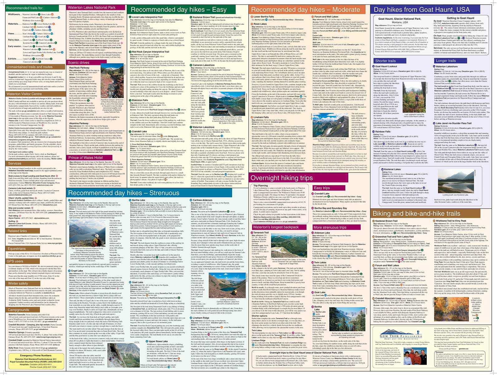
This Glacier and Waterton Lakes National Parks wall map, covering Montana and Alberta, Canada, is published by National Geographic.

Based on the Trails Illustrated map of these parks, it provides topographic detail of the lakes and terrain, along with information on trails and roads.

Printed on premium paper, the map is rolled and supplied in a clear rigid plastic tube. Scale: 1:160,000. Dimensions: 29.72 x 22.44 inches.


ISBN/EAN : 9781597751438
Publication date: 2007
Unfolded dimensions: 29.72 x 22.44 inches (75.5 x 57cm)
Language(s): English
Weight: 180 g