2008 Chine, le voyage de la roche et de l'eau carte murale roulée (en tube) National Geographic Historic POD Default Title

2008 China, the journey of rock and water

Price
Regular price CHF 3500
Regular price Sale price CHF 3500
/
  • Shipping within 48 business hours from our warehouse in the USA. For this product, customs fees may be requested by the carrier upon delivery.
  • Shipping method and fees are shown at checkout
  • Free returns (*)
  • Real-time stock levels
  • In stock, ready to ship
  • Backordered, shipping soon
Tax included.

Frequently bought together:

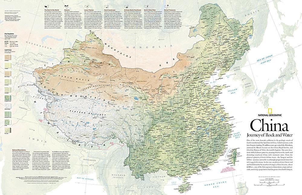
One of the most spectacular collisions in Earth's geological history transformed the land that is now China. The tectonic crash of India into Eurasia beginning 35 million years ago uplifted the Himalayas and lifted the Tibetan Plateau. The new elevations altered climate patterns, created deserts in the north, and flooded southeastern China with monsoon rains. This detailed physical map of China illustrates the country's wide range of land cover, including forests, grasslands, row crops, bare soil, deserts, and more. Published in May 2008, this map was one half of a two-map set with "The Forbidden City."

.

ISBN/EAN : 2321387M
Publication date: 2008
Unfolded dimensions: 31in / 20in
Language(s): English
Weight: 200 g