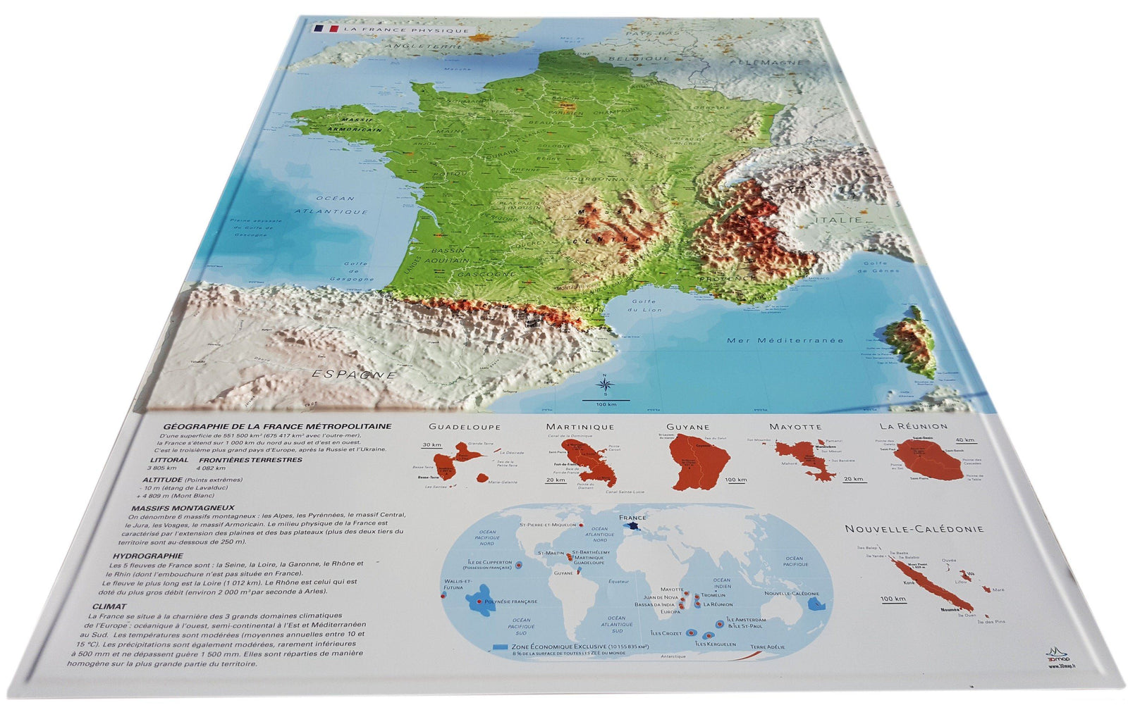
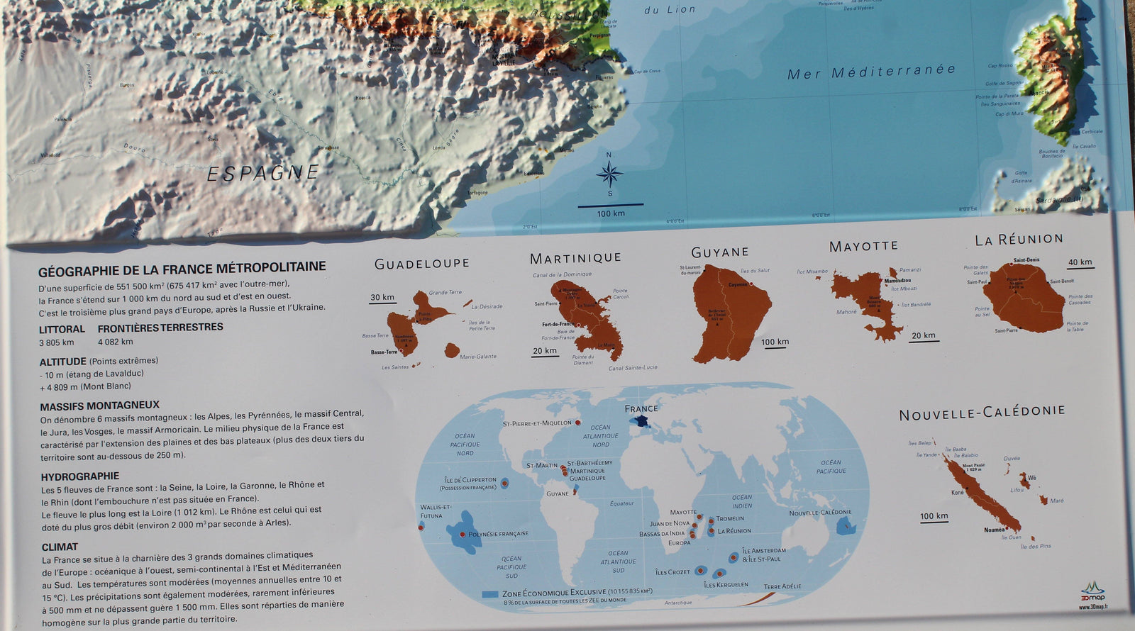
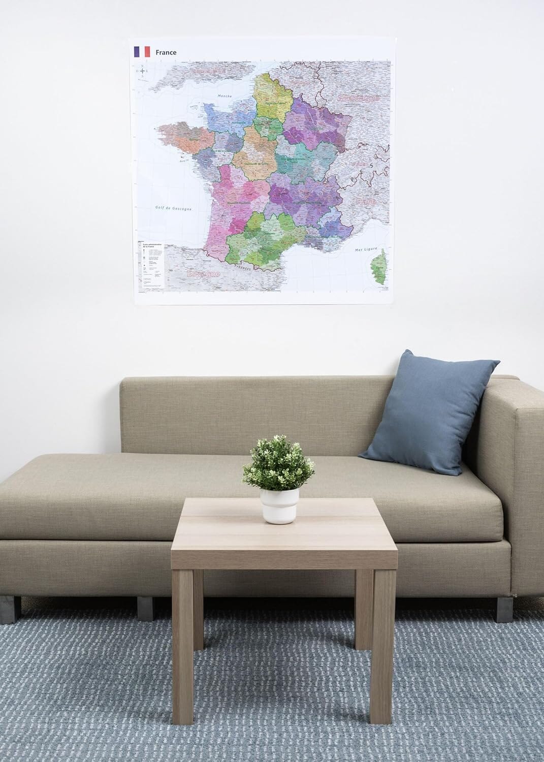
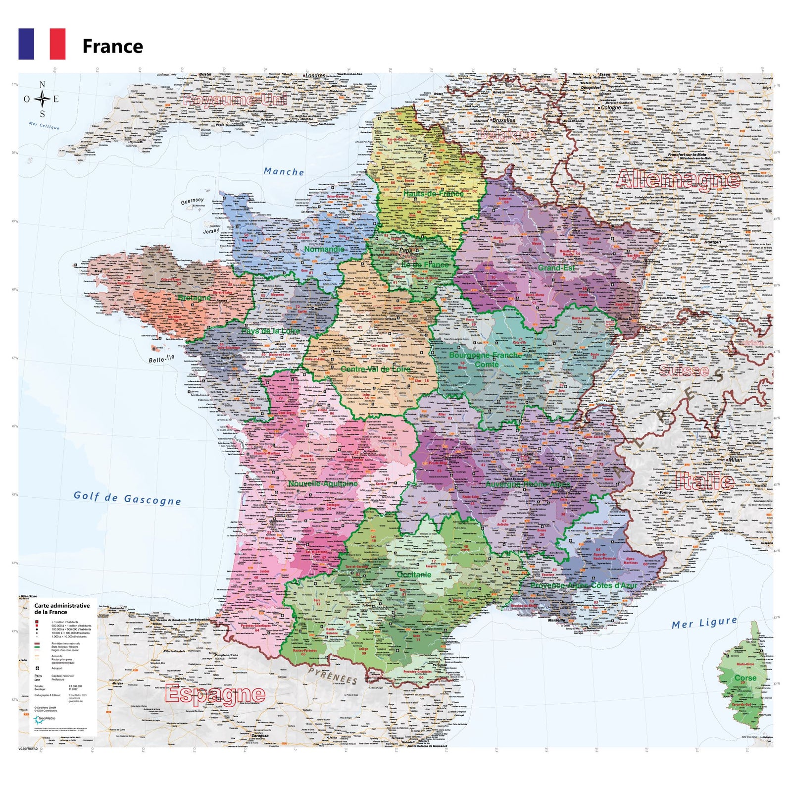
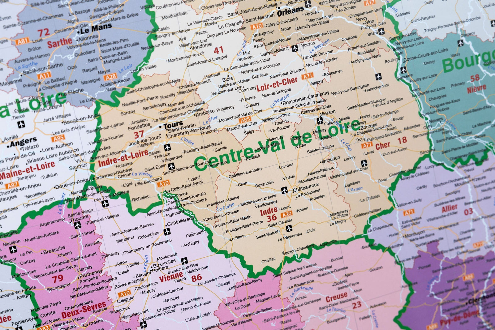
3D Raised relief map - France Physical (61 cm x 91 cm) | 3D Map (French)

Price
Regular price CHF 5700
Regular price Sale price CHF 5700
/
  • Ships within 24 business hours from our warehouse in France
  • Real-time inventory
  • Cartovia Guarantee – Delivery issue?
    We resend immediately upon receiving a simple photo.
  • Low stock - 2 items left
  • Backordered, shipping soon
Tax included.

Often purchased together:

Discover the raised relief wall map of France, a detailed and educational representation that highlights the country’s major landforms. Its clear 3D modeling makes it easy to understand France’s geographical structure: mountain ranges, basins, plateaus, natural regions and historical areas.

Perfect for teaching, studying, decorating or exploring France’s natural heritage.


Information shown on the map:

Major geographical units:

• Mountain ranges
• Basins
• Plateaus
• Cultural and historical regions

Key reference elements:

• Main peaks
• Rivers
• Departments
• Prefectures and sub-prefectures

Additional geographical content:

• Overseas territories
• Mini world map

Included educational resources:

• Hydrology overview
• Climate overview
• Geography overview
Downloadable pack of 7 thematic blank A4 maps:

  • Hydrology

  • Geology (2 maps)

  • Peaks

  • Major cities

  • Neighboring countries

  • France in the world


Scale:

1 : 2,000,000

A perfect map for teachers, students, geography lovers, institutions and anyone wishing to display a clear and elegant representation of France’s physical relief.


ISBN / EAN : 9782955772935
Date de publication : 2016
Echelle : 1/2,000,000 (1cm=20km)
Dimensions déplié(e) : 61cm x 91cm
Langue : French
Poids : 320 g