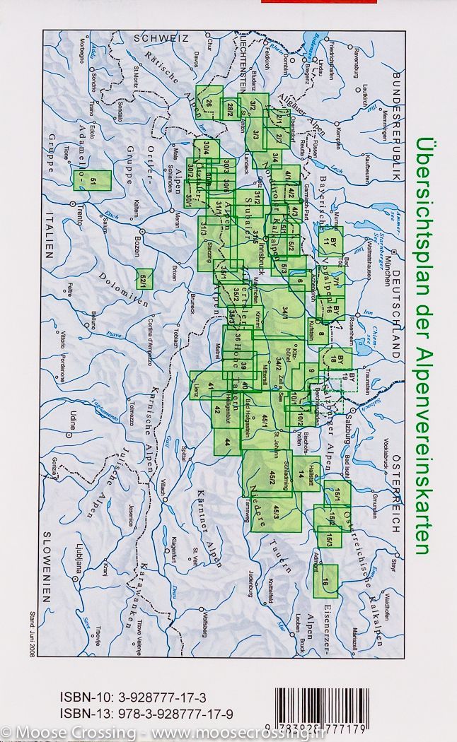
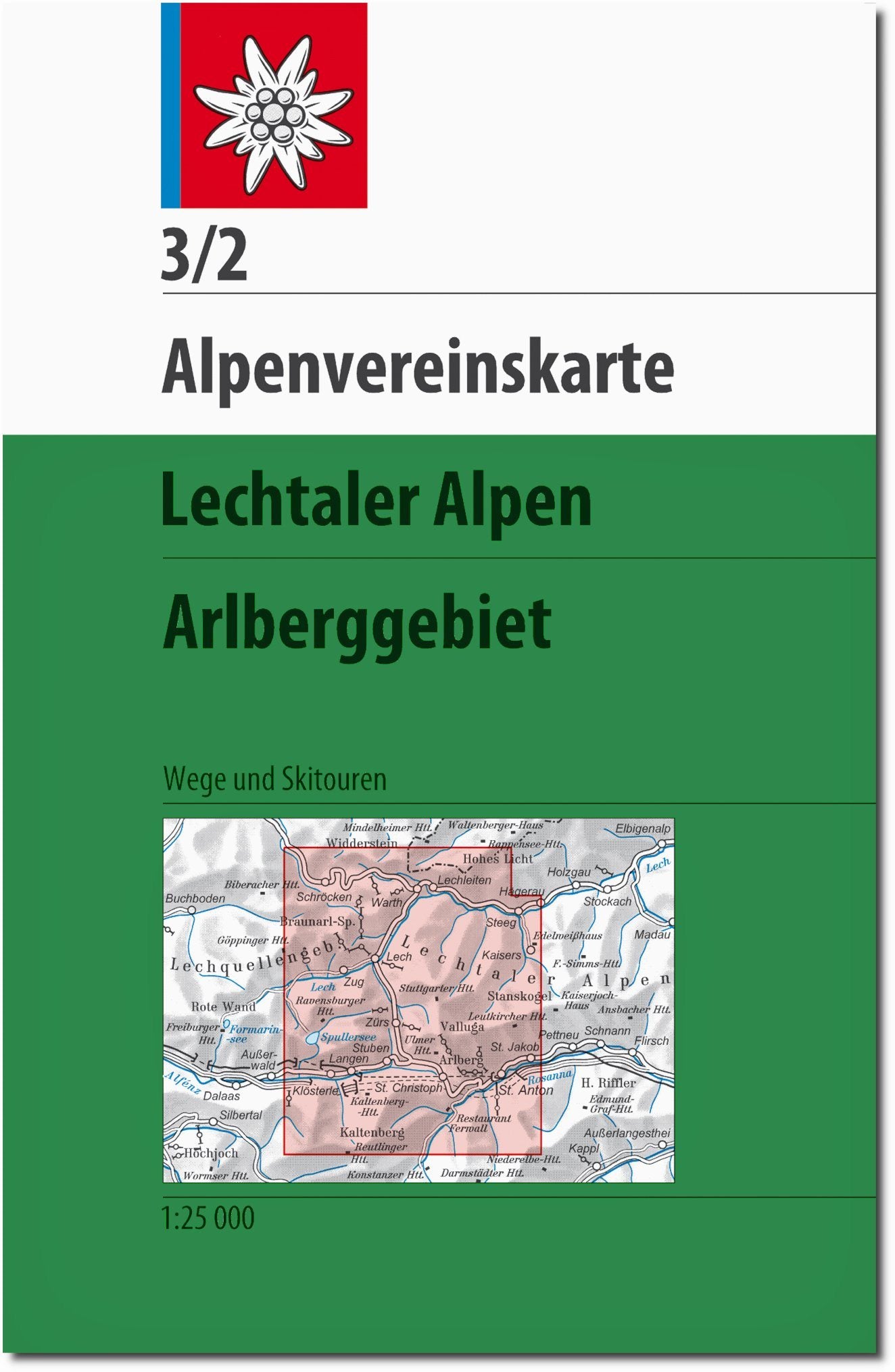
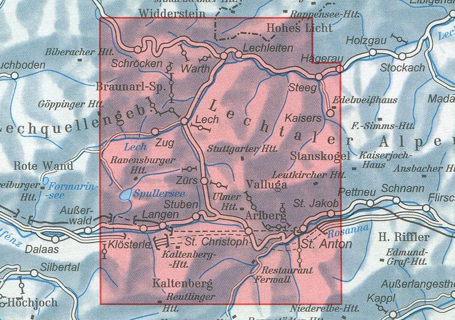
Hiking Map - Lienz Dolomites, Lesach Valley & Carnic High Trail | Kompass 47 - 1:50 000

Price
Regular price CHF 1500
Regular price Sale price CHF 1500
/
  • Shipped within 24 to 48h from our warehouse in France
  • Customs duties may apply on import to your country
  • Free returns (*)
  • Real-time stock levels
  • Cartovia Guarantee – Delivery issue?
    We resend immediately upon receiving a simple photo.
  • Low stock - 2 items left
  • Backordered, shipping soon
Tax included.

Frequently bought together:

This Kompass hiking map covers the Lienz Dolomites, the Lesach Valley, and the Carnic High Trail. Suitable for hiking, cycling, and mountain activities, it offers detailed mapping at a scale of 1:50,000, as well as plenty of practical information to plan your excursions.

📌 Features

  • Scale: 1:50,000 (1 cm = 500 m)
  • Official hiking trails with names and numbers
  • Cycling paths
  • Via ferrata
  • Inns and huts
  • Parking lots
  • Public transportation (bus and train)
  • Alpine and cross-country ski routes
  • Springs and bathing spots
  • Tear-resistant and weatherproof paper
  • Offline map excerpt usable in the Kompass-Wanderkarten app

🌍 Region Covered

  • Lienz Dolomites
  • Lesach Valley
  • Carnic High Trail (Karnischer Höhenweg)

⭐ Highlights

  • Detailed mapping for hiking and cycling
  • Relief represented by contour lines, rock drawing, and shading
  • Numerous trails and mountain infrastructures indicated
  • Compatible with the Kompass app
  • Weatherproof material

🏔️ About the Region

The Lienz Dolomites and the Lesach Valley are renowned for their mountainous landscapes and unspoiled nature. The Carnic High Trail is a particularly popular route for experienced hikers, offering vast panoramas of the surrounding Alps.


ISBN/EAN : 9783991544555
Publication date: 2026
Scale: 1/50,000 (1cm=500m)
Folded dimensions: 11 x 19cm
Language(s): German
Weight: 110 g