Hiking map No. 2100 - High, Western and Belianske Tatras (Slovakia, Poland) | Kompass

Price
Regular price CHF 1600
Regular price Sale price CHF 1600
/
  • Shipped within 24 to 48h from our warehouse in France
  • Customs duties may apply on import to your country
  • Free returns (*)
  • Real-time stock levels
  • Cartovia Guarantee – Delivery issue?
    We resend immediately upon receiving a simple photo.
  • In stock, ready to ship
  • Backordered, shipping soon
Tax included.

Frequently bought together:

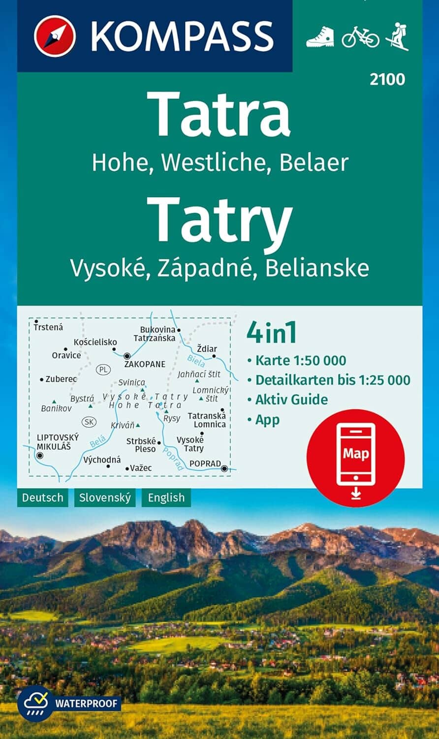
Hiking map No. 2100 of the Tatras, published by Kompass.

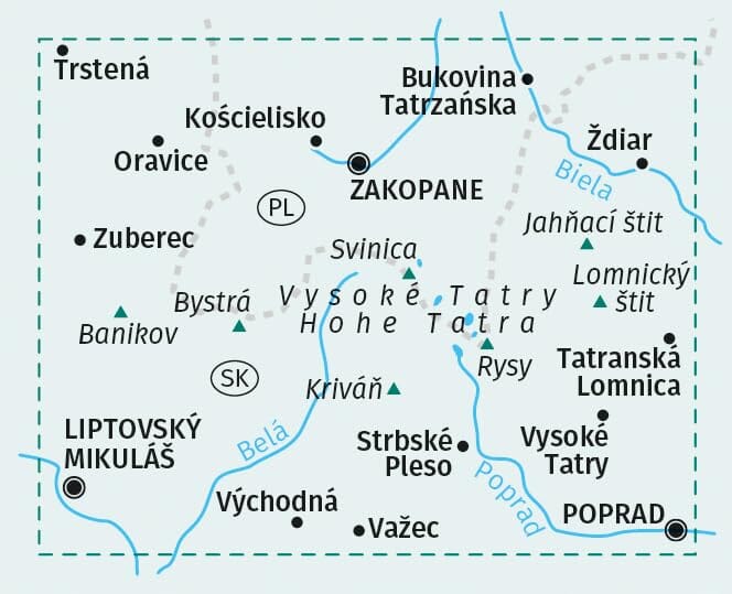
This detailed hiking map covers the High Tatras (Vysoké Tatry), Western Tatras (Západné Tatry) and Belianske Tatras (Belianske Tatry), between Slovakia and Poland in the heart of the Carpathians.

Ideal for hikers, trekkers and mountain lovers, the map offers an excellent level of detail for navigating the region's most spectacular trails.

Map highlights

  • Scale 1:50,000: excellent detail for hiking
  • Hiking trails, mountain huts, summits, passes, lakes and national park boundaries
  • Contour lines and relief representation make the terrain easier to read
  • Durable map: sturdy paper suitable for outdoor conditions
  • GPS-compatible

Regions covered

  • Vysoké Tatry (High Tatras), including the famous Gerlachovský štít, the highest peak in the Carpathians
  • Západné Tatry (Western Tatras): gentler landscapes, ideal for high-altitude hikes
  • Belianske Tatry (Belianske Tatras): wilder, less visited ranges


ISBN/EAN : 9783991540878
Publication date: 2024
Scale: 1/50,000 (1cm=500m)
Folded dimensions: 11 x 19cm
Language(s): German
Weight: 202 g