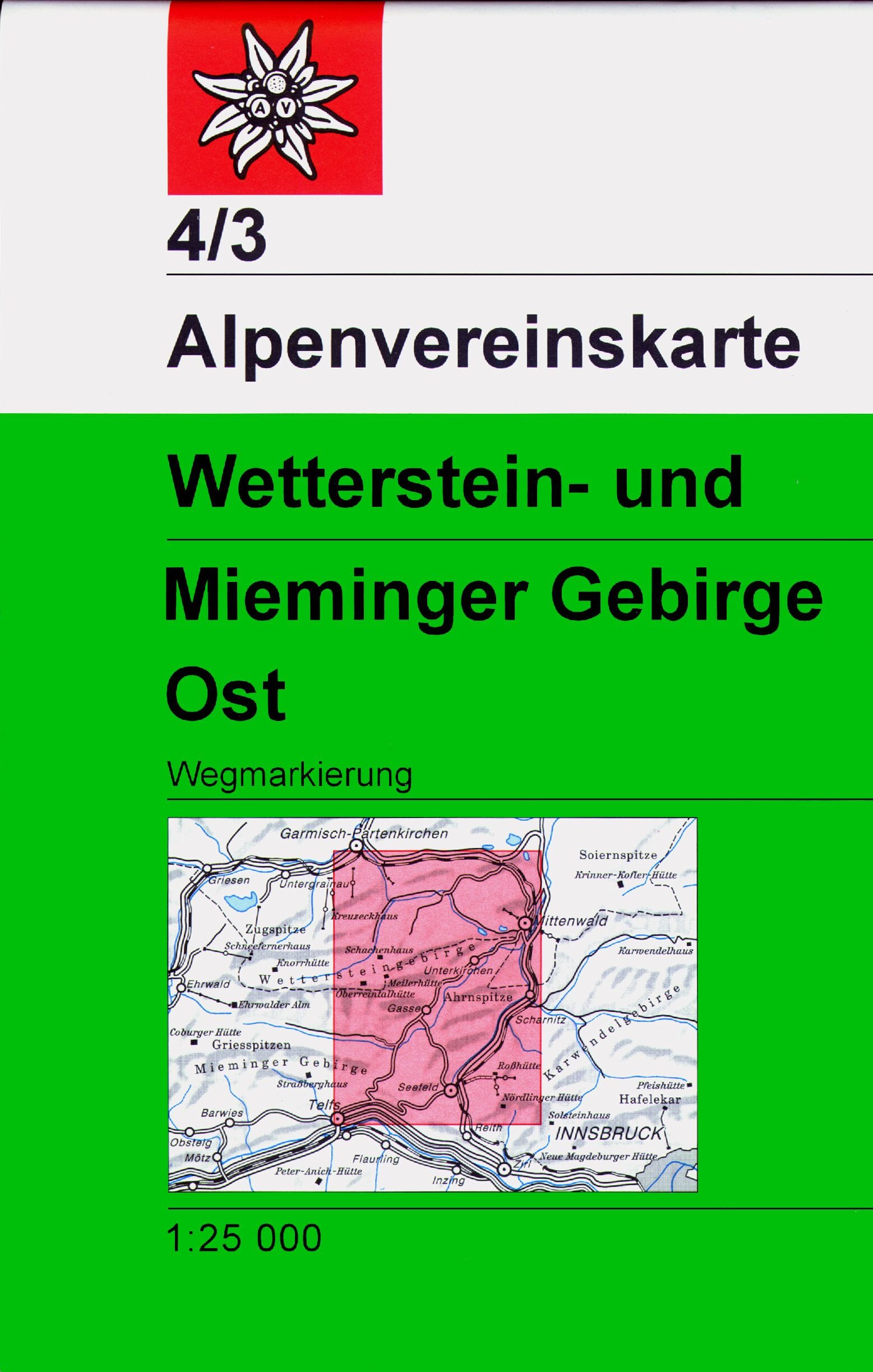
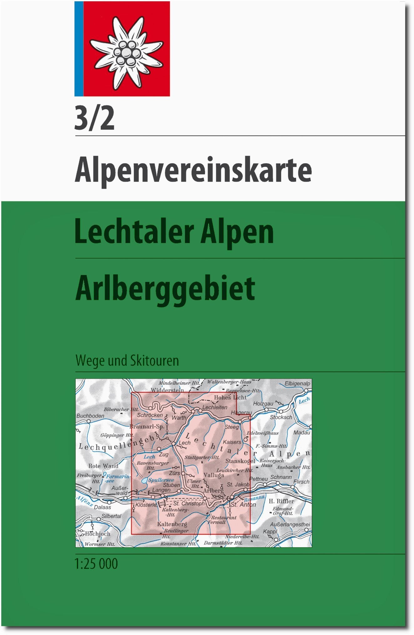
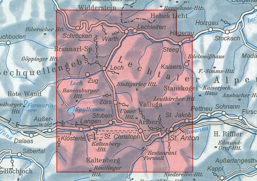
Kaisergebirge hiking map: The map for hiking, cycling and many other nature activities.
Kompass hiking maps are easy to read and yet contain all the information you need for a perfect hike, bike tour, or excursion. They reproduce nature at the appropriate scale.
The precise mapping includes all official hiking trails with their names and numbers (such as long-distance hiking trails), cycle paths (including trails), via ferrata, hostels and refuges, parking lots, buses and trains, ski tours and cross-country ski trails, springs, swimming spots and much more.
This makes the map ideal for discovering new destinations, planning hikes, and navigating along the way. The vegetation, contour lines, rock patterns, and mountain shading provide an intuitive picture of the landscape on the map.


