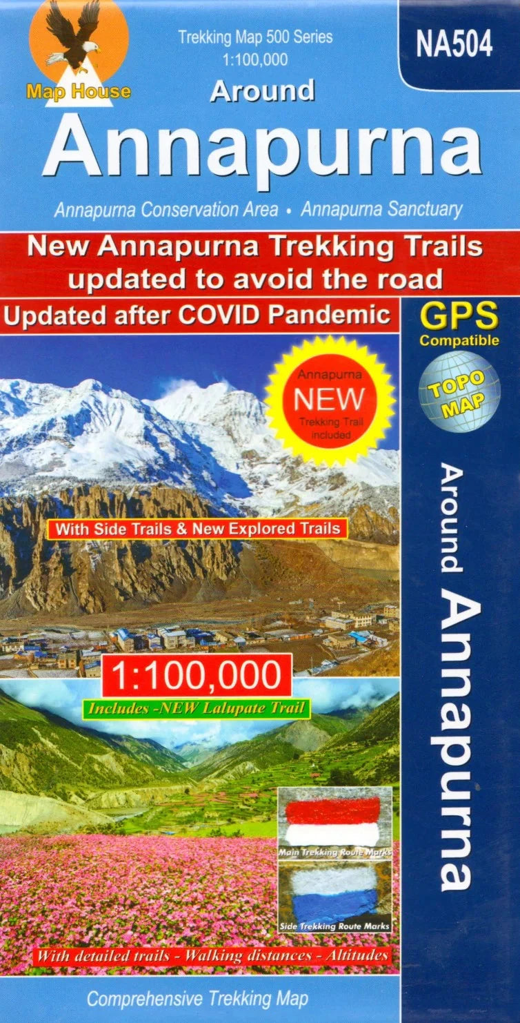
This detailed map covers the entire Annapurna Circuit, one of the world’s most iconic trekking routes, and includes:
-
Main Annapurna Circuit route
-
Alternative variants via Tilicho Lakes and Naar
-
Treks to the Machhapuchhre Base Camp and South Annapurna Base Camp
-
Climbing routes to Chulu East/West, Pisang Peak, and Singu Chuli (Fluted Peak)
-
Coverage from Pokhara to Muktinath and Kagbeni in the north
-
Extended area to the north-east including the route to Phu Gaon (Phugaon) and the Himlung Himal climb
✅ Features:
-
Contours at 80m intervals
-
Latitude and longitude margin ticks every 5 minutes
-
Index of settlements, peaks, passes and lakes
-
Profile diagram of the entire circuit
-
Stage-by-stage route tables with altitudes (in meters and feet) and estimated trekking durations
This is a comprehensive trekking map, ideal for both independent trekkers and guided expeditions.

