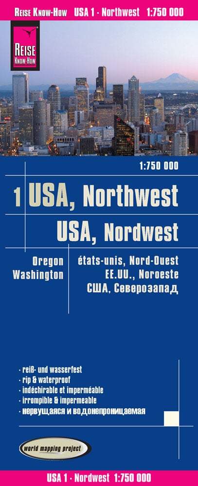
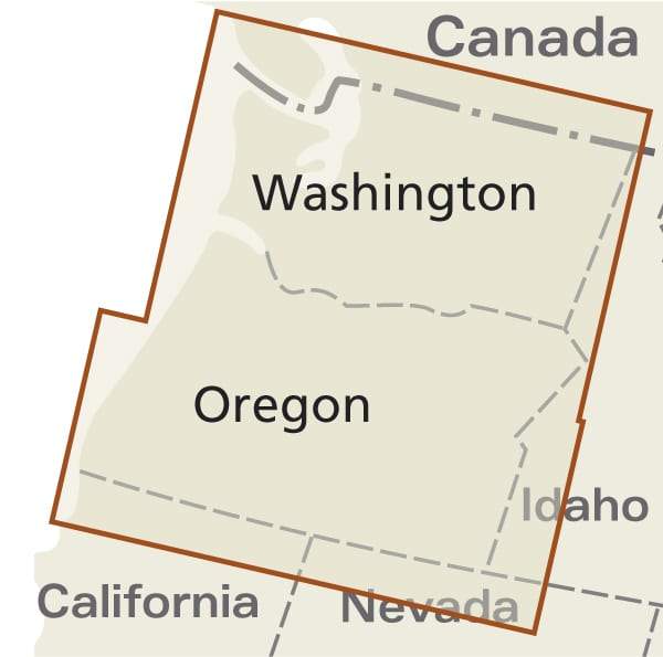
This is the third map in a series of 12 that will keep the cross-country traveler on track from the Oregon West Coast to Virginia plantations and historic battlefields. This map covers from Baker City, OR to Missoula, MT (418 miles).
The maps are printed on waterproof, tear-resistant material; the folded size of 3.5" x 7" will easily fit in a jersey pocket or saddlebag map display.
Highway-style signs indicate restaurants, campgrounds, bed & breakfasts, restrooms, bike repair shops, and more.
Progressive point-to-point-B travel markers.


