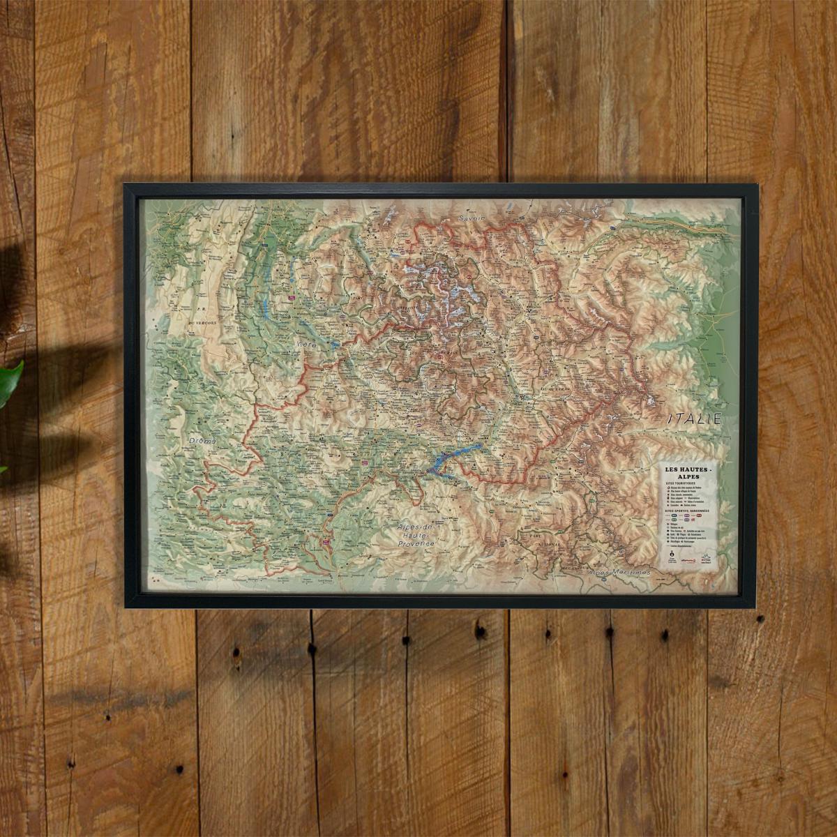
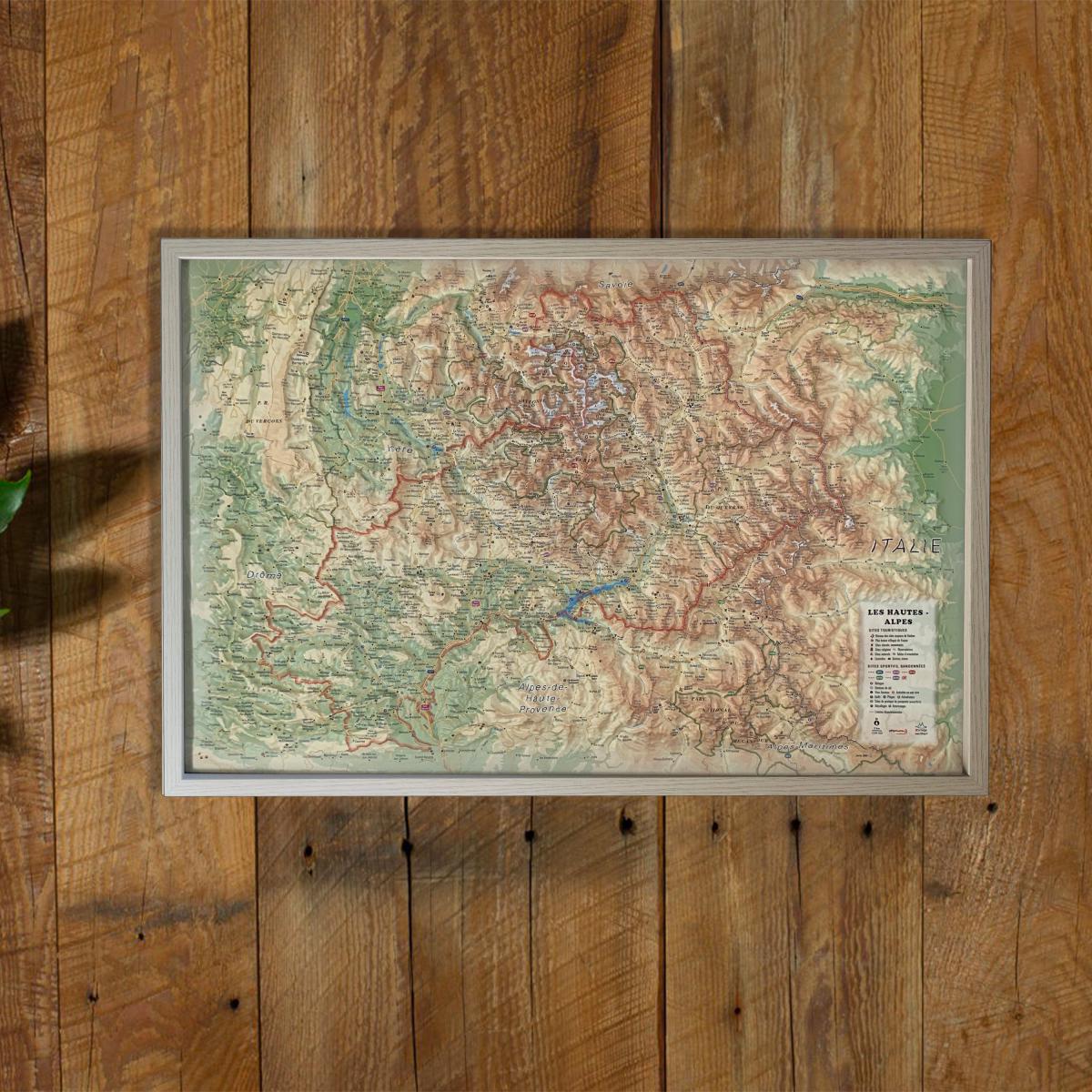
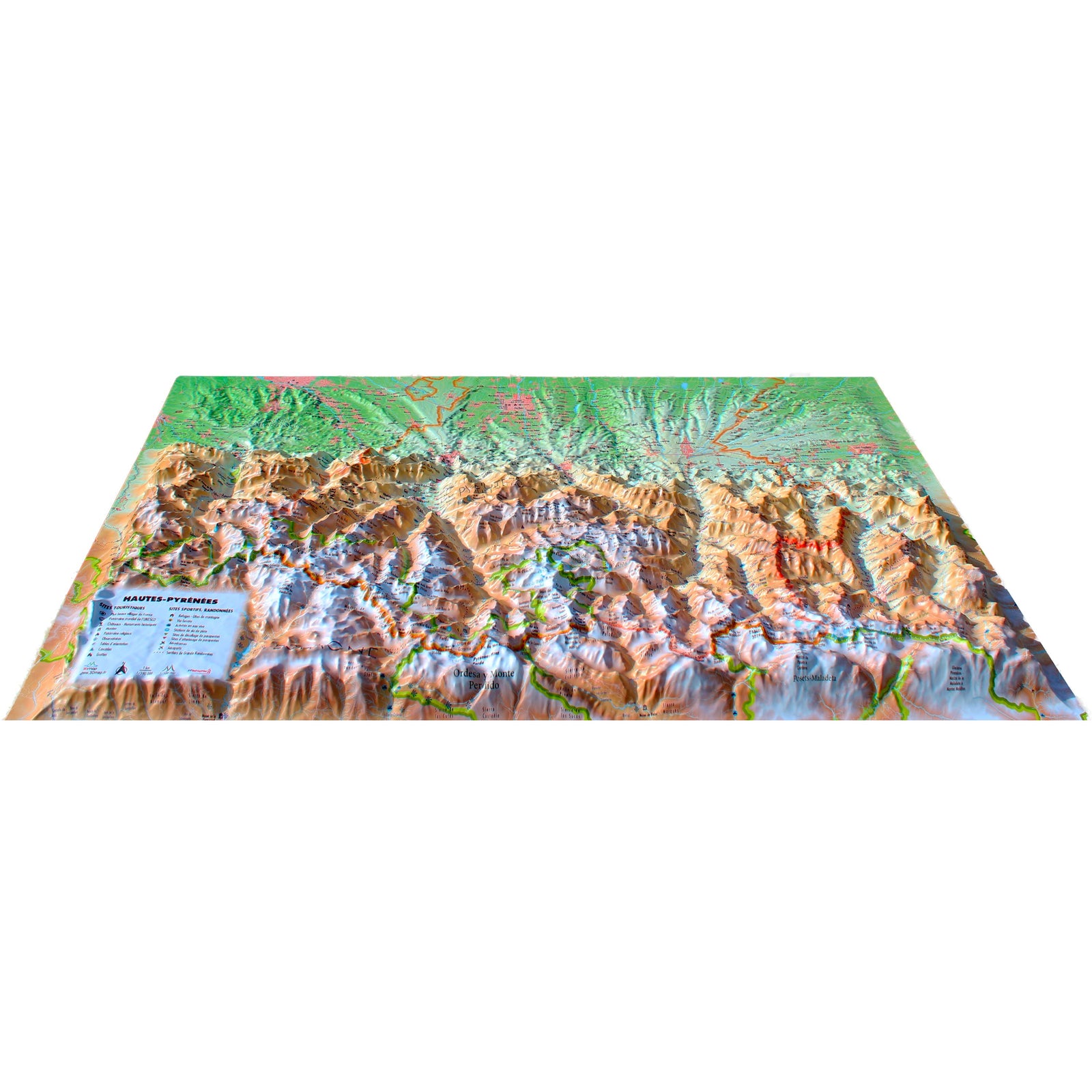
Discover the spectacular landscapes of the Southern Alps with this raised relief wall map of the Hautes-Alpes, offering a detailed and immersive 3D representation of glaciers, major summits, deep valleys and natural sites. One of France’s highest and sunniest departments comes to life through precise relief modeling.
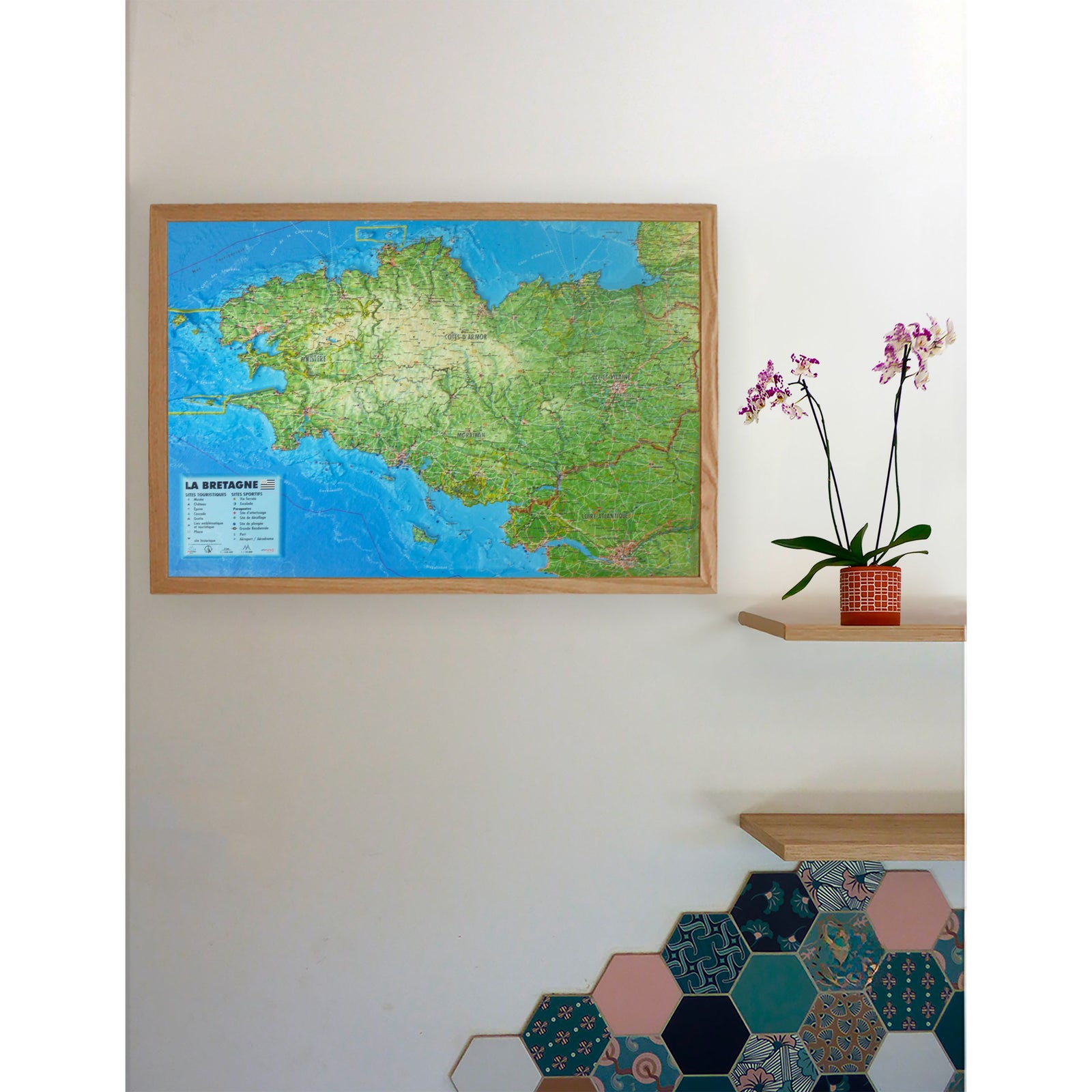
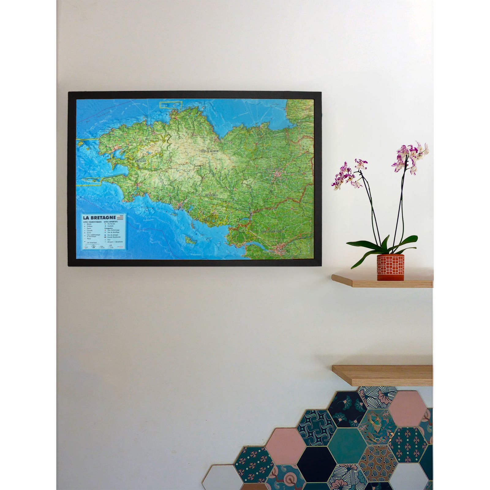
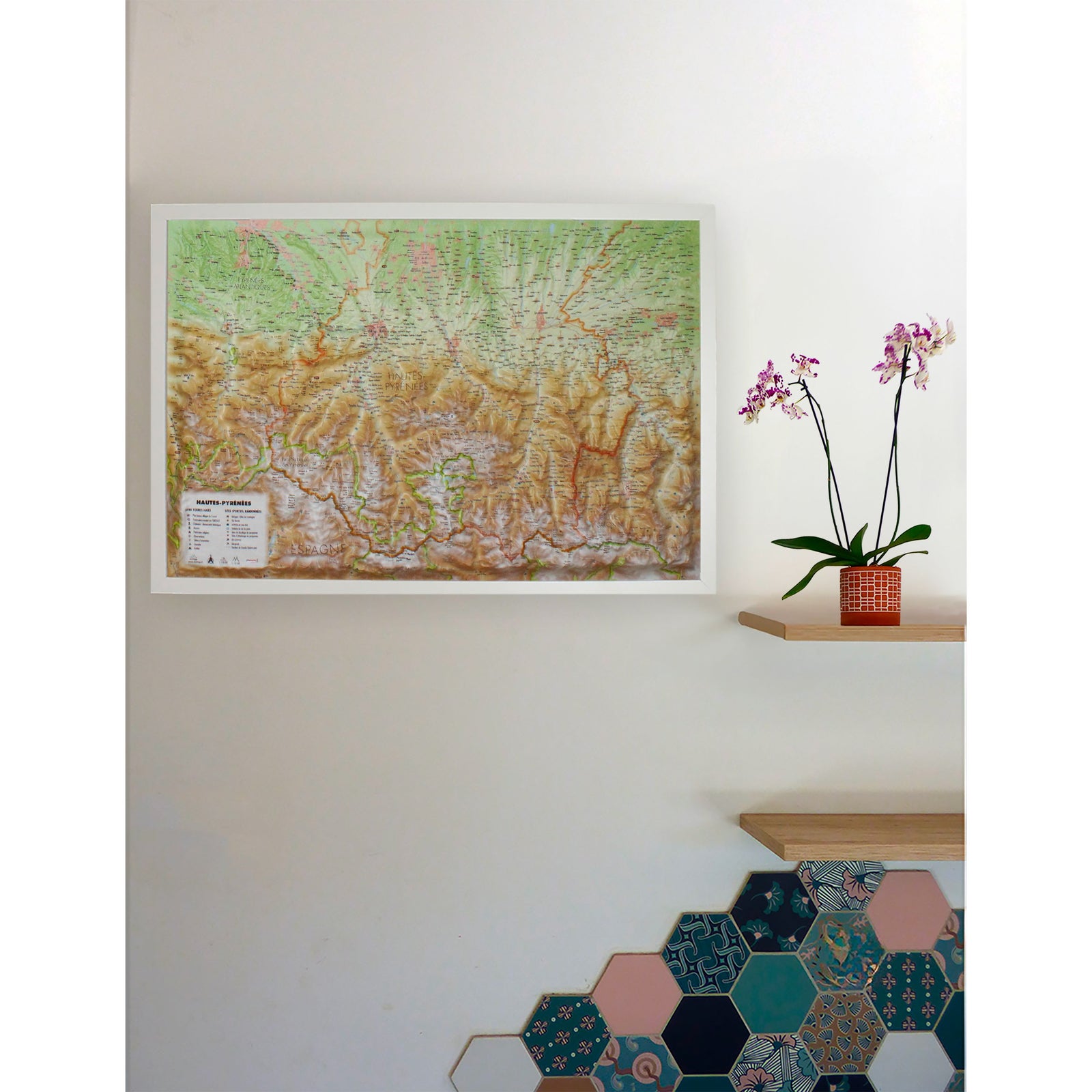
A finishing frame is available as an optional accessory; we strongly recommend it for easy hanging and an enhanced presentation.
Information shown on the map:
General data:
• Hydrological, natural, hypsometric and administrative information
Touristic & cultural sites:
• Museums
• Most Beautiful Villages of France
• Golf courses
• Beaches
• Aerodromes
Historical & religious heritage:
• Legendary monuments and castles
• Religious sites
• Vauban fortifications network
Mountain & outdoor activities:
• Ski resorts
• Paragliding sites (take-off & landing zones)
• Thermal spas
• Waterfalls, gorges and caves
• Glaciers and major peaks
• Alpine massifs
• Long-distance hiking trails (GR)
• Trail routes
• Via ferrata
• White-water activity zones
Observation, orientation & routes:
• Notable routes
• Mountain refuges
• Observatories
• Orientation tables
Scale:
1 : 290,000
A perfect map for hikers, mountaineers, nature lovers, outdoor sports enthusiasts or anyone wishing to display a beautiful and accurate representation of the Hautes-Alpes.