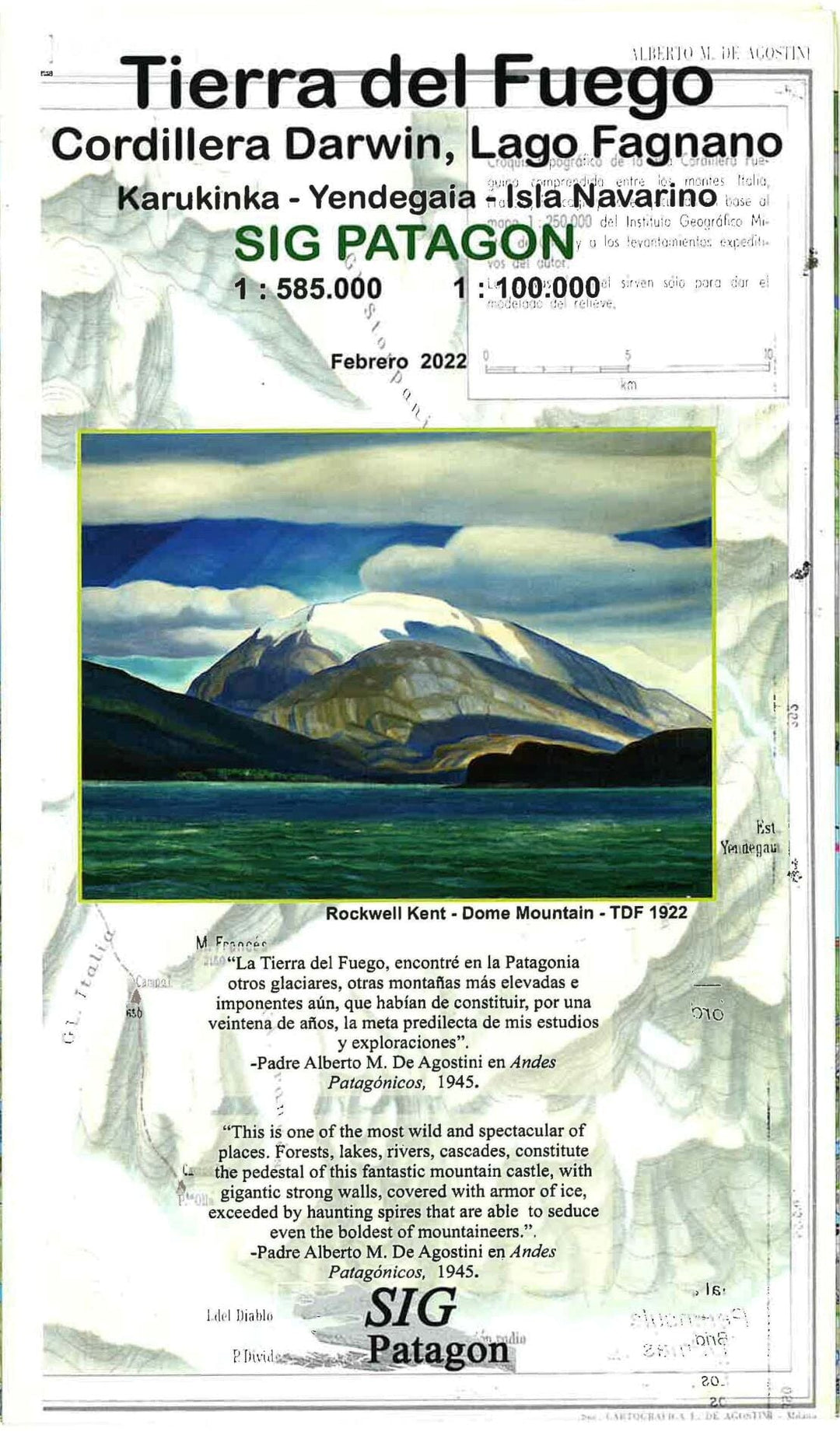
This double-sided map of Sin Patagon de Tierra del Fuego is waterproof and tear-proof, as well as a GPS-compatible map and presented at a scale of 1:585,000. On the reverse, Isla Navarino is shown at a scale of 1:85,000. The topography is presented by relief shading, with the boundaries of protected areas. The map shows local roads and tracks, and symbols indicate places with tourist facilities, hiking and local wildlife viewing sites, etc. Ferry connections are also shown. The map has a UTM grid, as well as latitude and longitude graduations to 1°.


