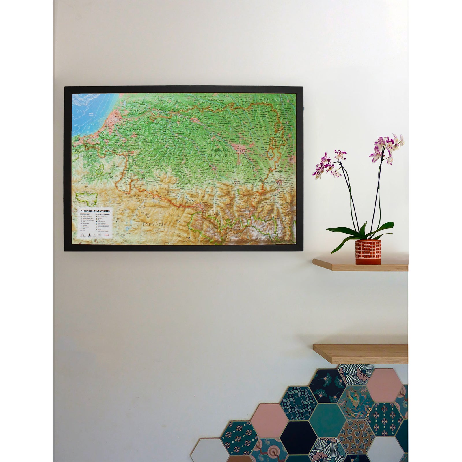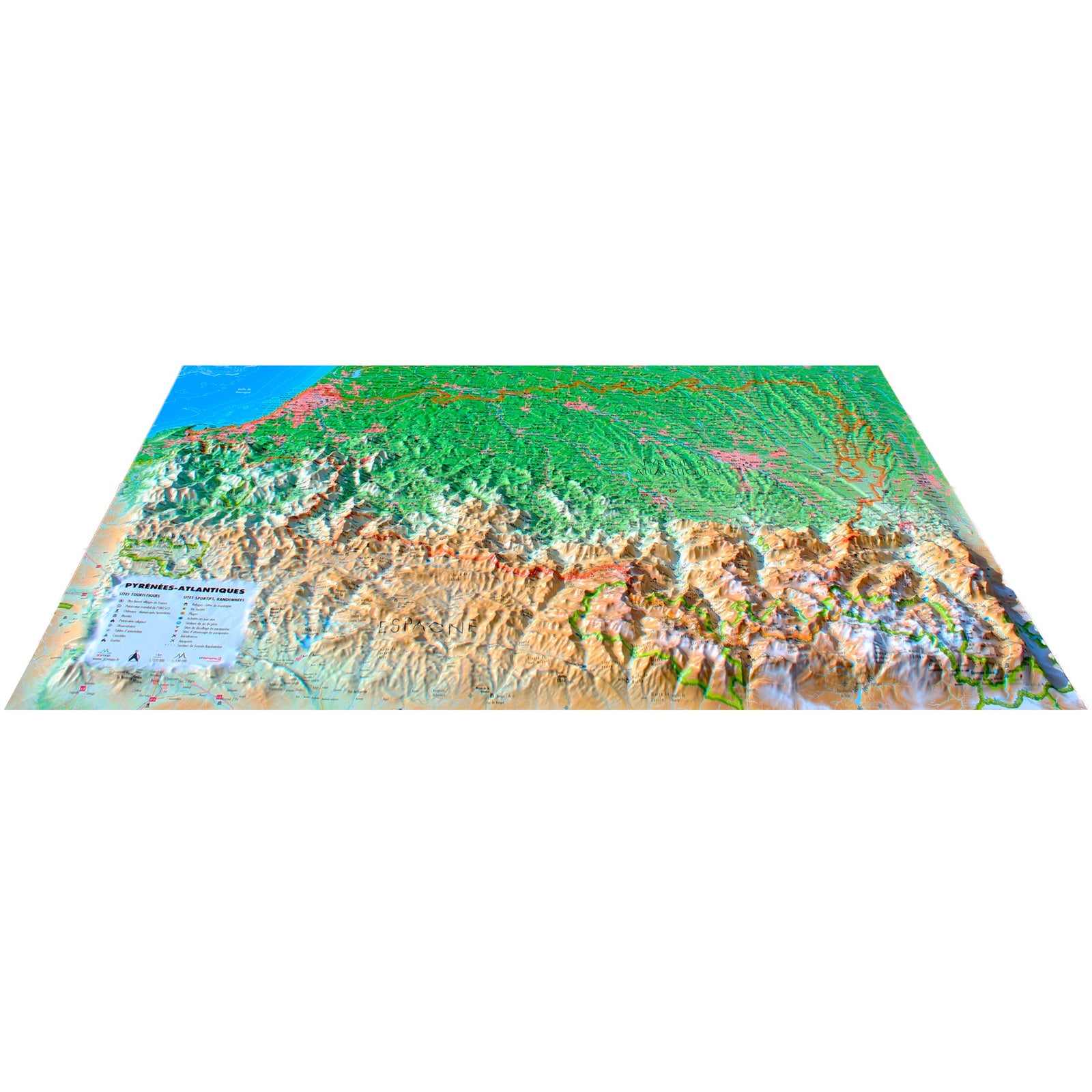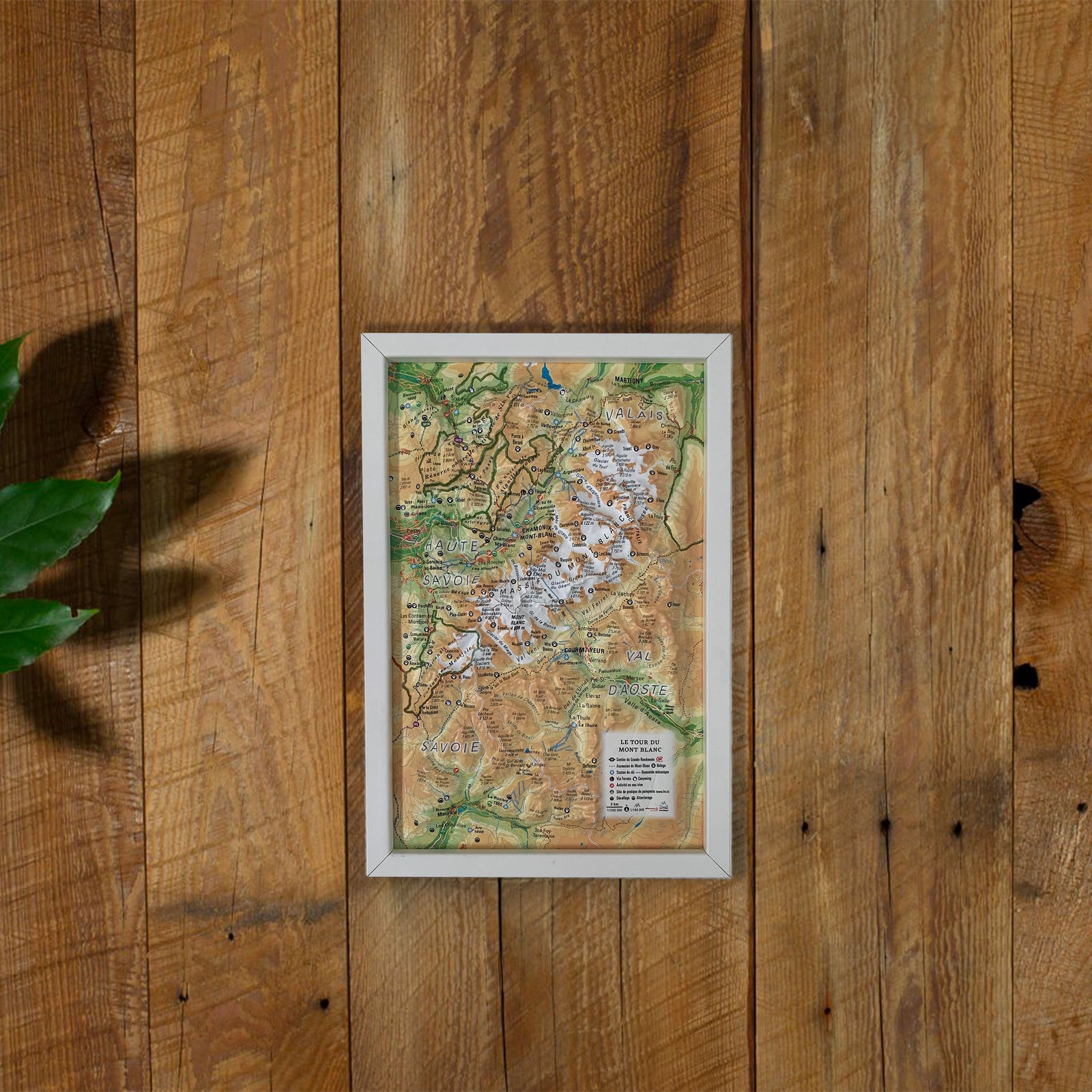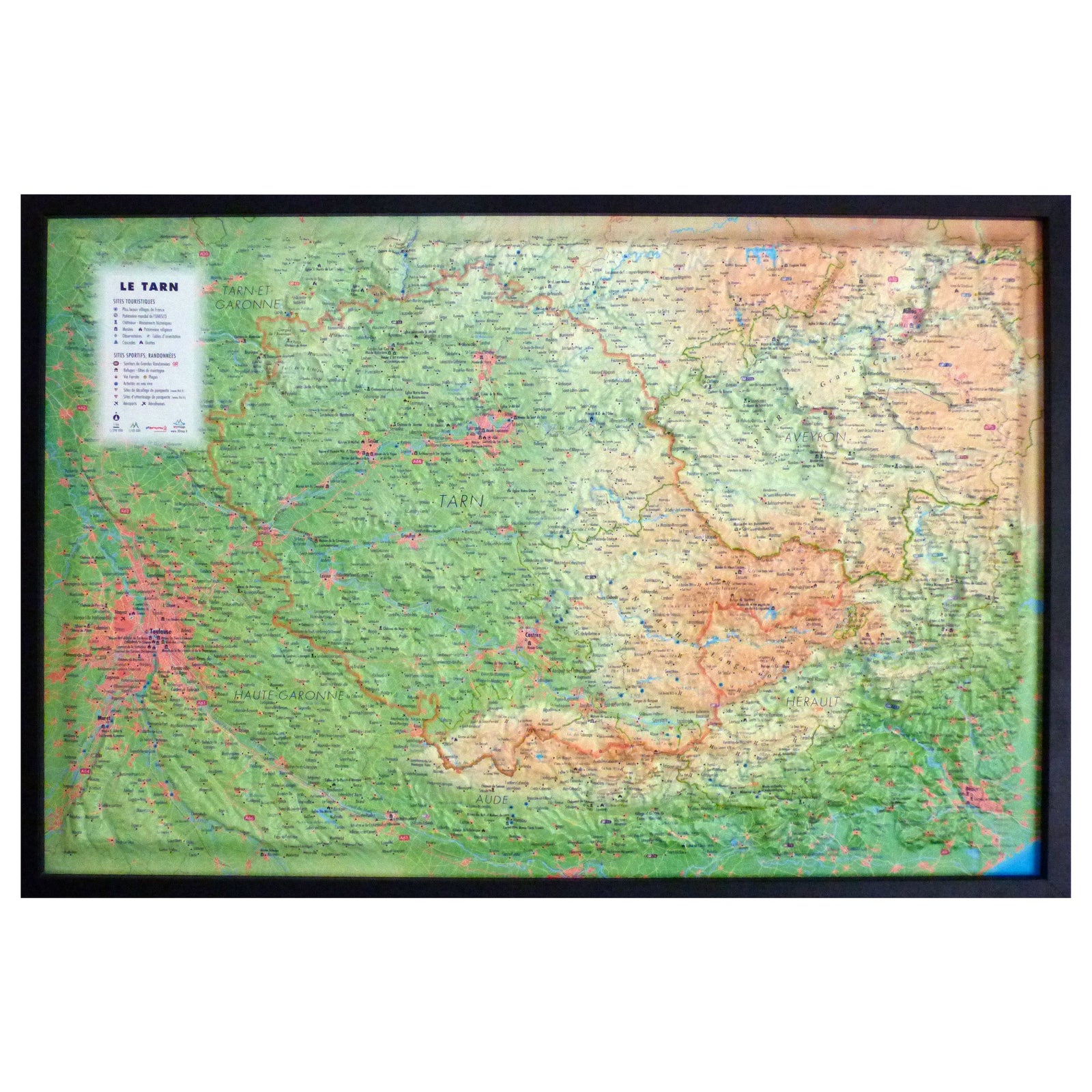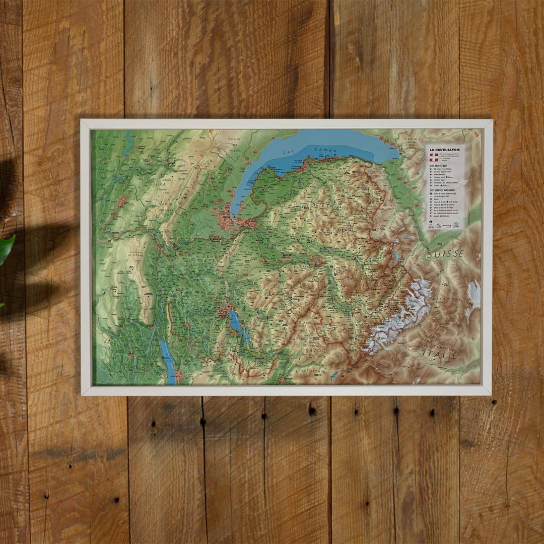
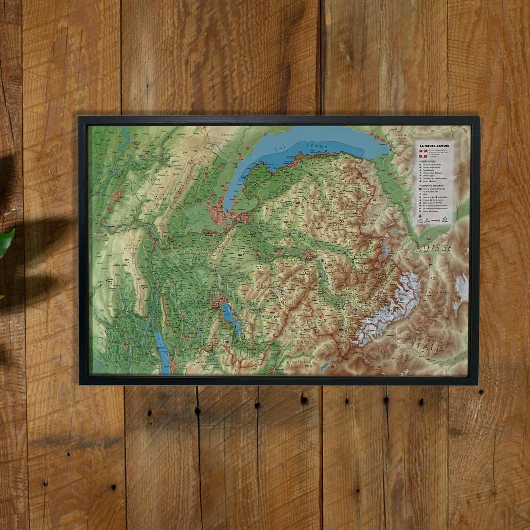
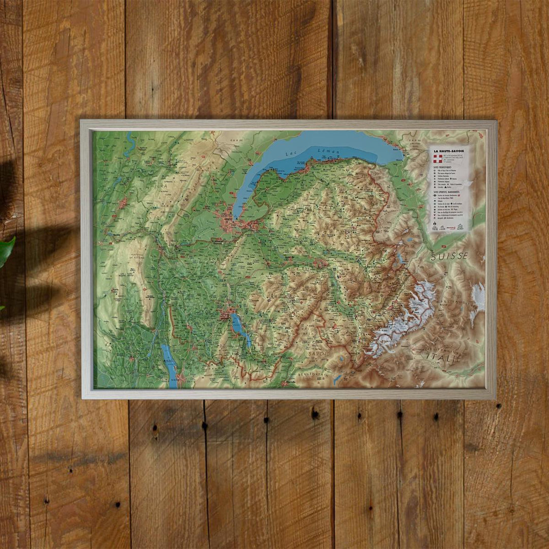
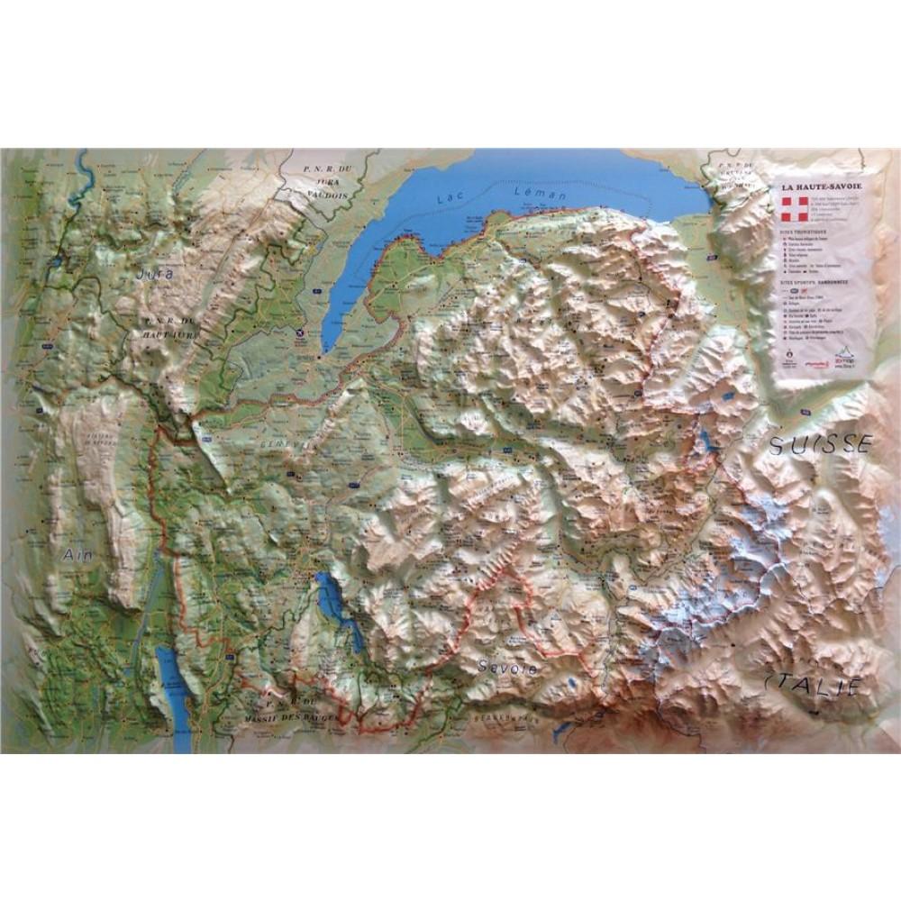
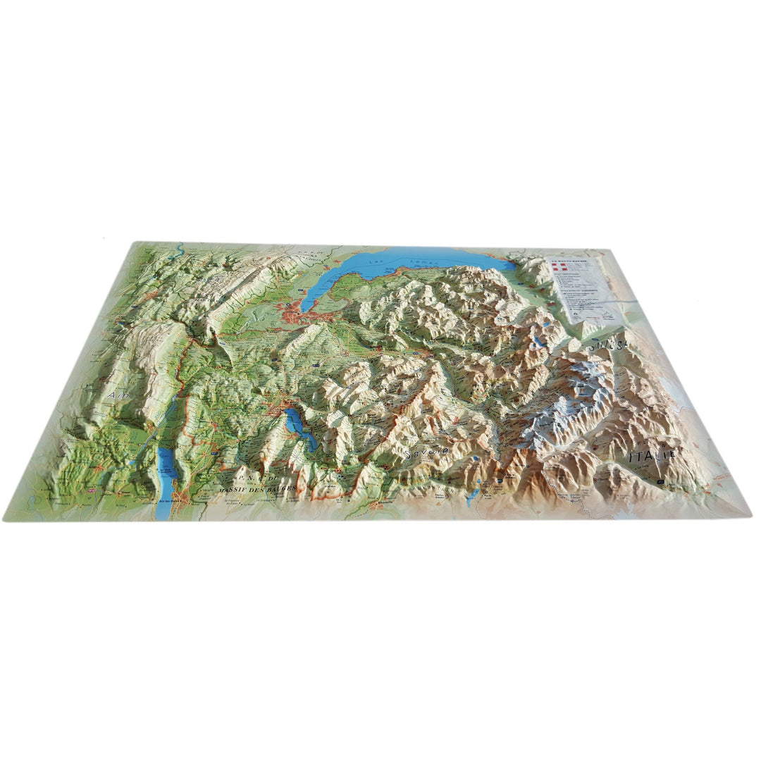
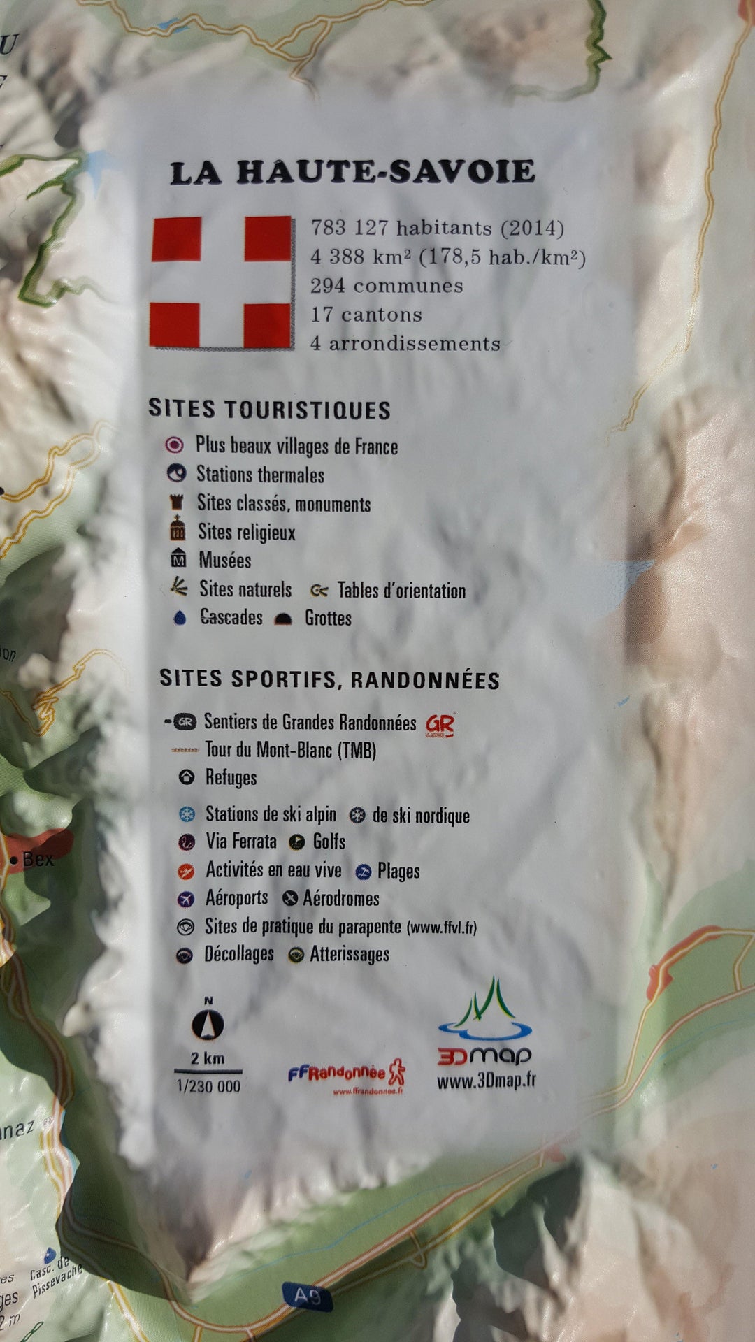
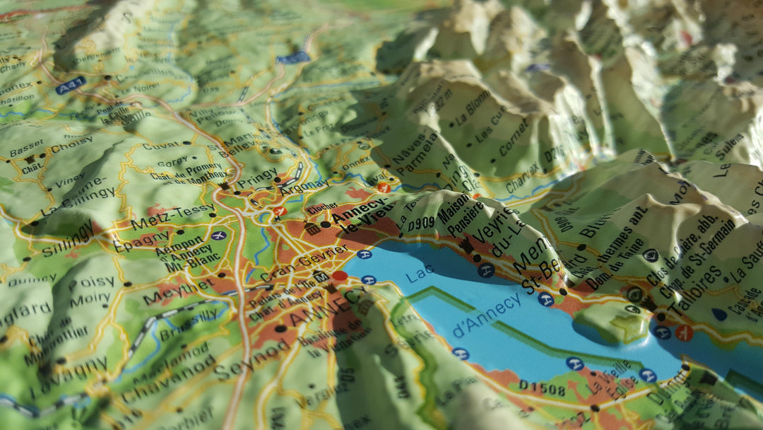
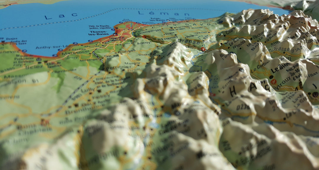
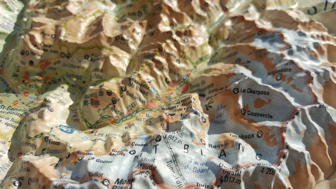


3D Raised relief map - Haute-Savoie, summer version (41 cm x 61 cm) | 3D Map (French)
Regular price
$6700
Regular price
Sale price
$6700
/
- Shipping within 24 working hours from our warehouse in France
- Delivery costs calculated instantly in the basket
- Real-time inventory
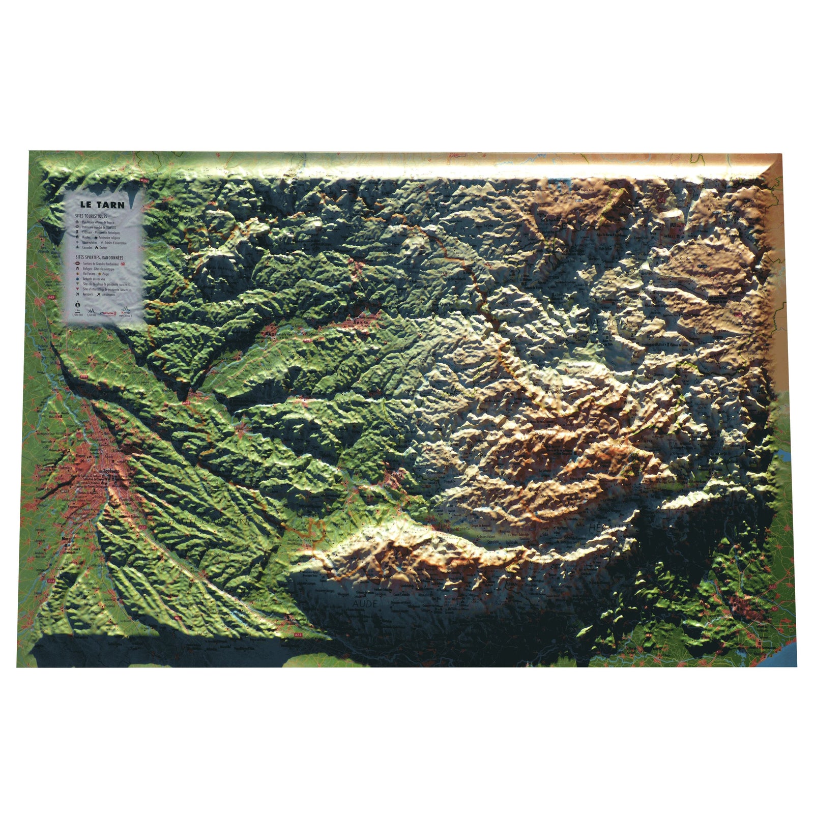
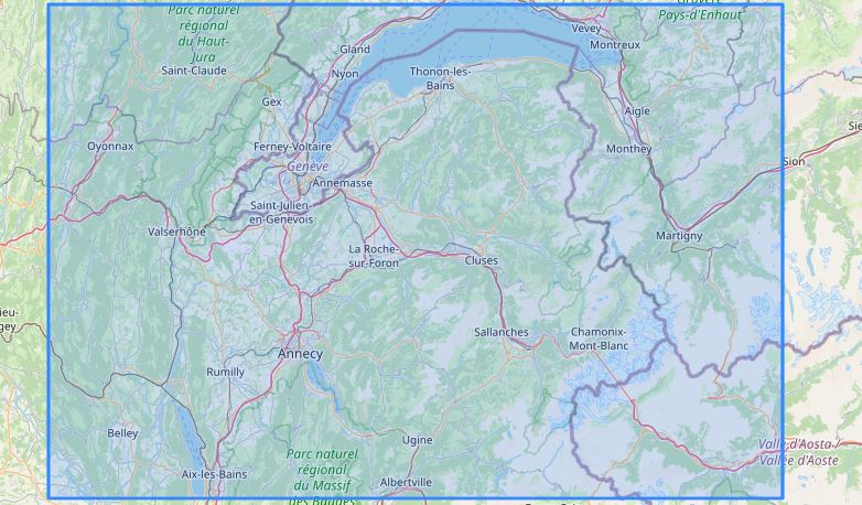
Related geographic locations and collections: 3D Raised-Relief Maps, France 3D Map - 3D relief map, Haute-Savoie (department 74), Wall Maps