CNIG - Official Maps of Spain
The CNIG (Centro Nacional de Información Geográfica) is the official Spanish body responsible for the production and dissemination of national mapping. It publishes topographical, road, and thematic maps covering the entire Spanish territory.
Renowned for their accuracy and reliability, CNIG maps are benchmarks for hiking, outdoor activities, itinerary planning, and territorial studies in Spain.
🗺️ Maps of autonomous communities
Discover the maps of Spain's autonomous communities, ideal for visualizing each region as a whole and better understanding the organization of the territory.
👉 View maps of Spain's autonomous communities
🗺️ Provincial maps
Discover CNIG's provincial maps, ideal for getting an overview of a region and preparing your trips or explorations.
👉 View provincial maps of Spain
🧭 Topographic maps 1:50,000
The 1:50,000 maps offer an excellent compromise between readability and level of detail, perfect for hiking, cycling, and exploring entire regions.
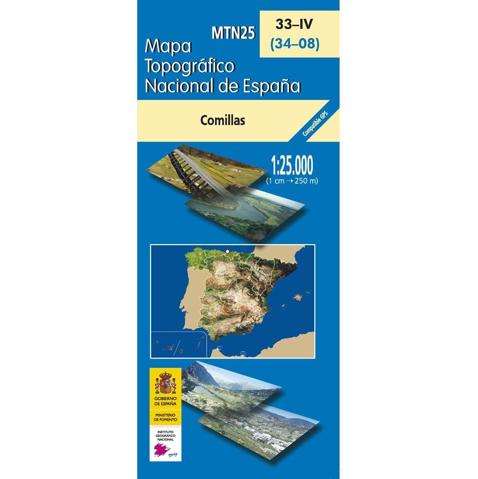
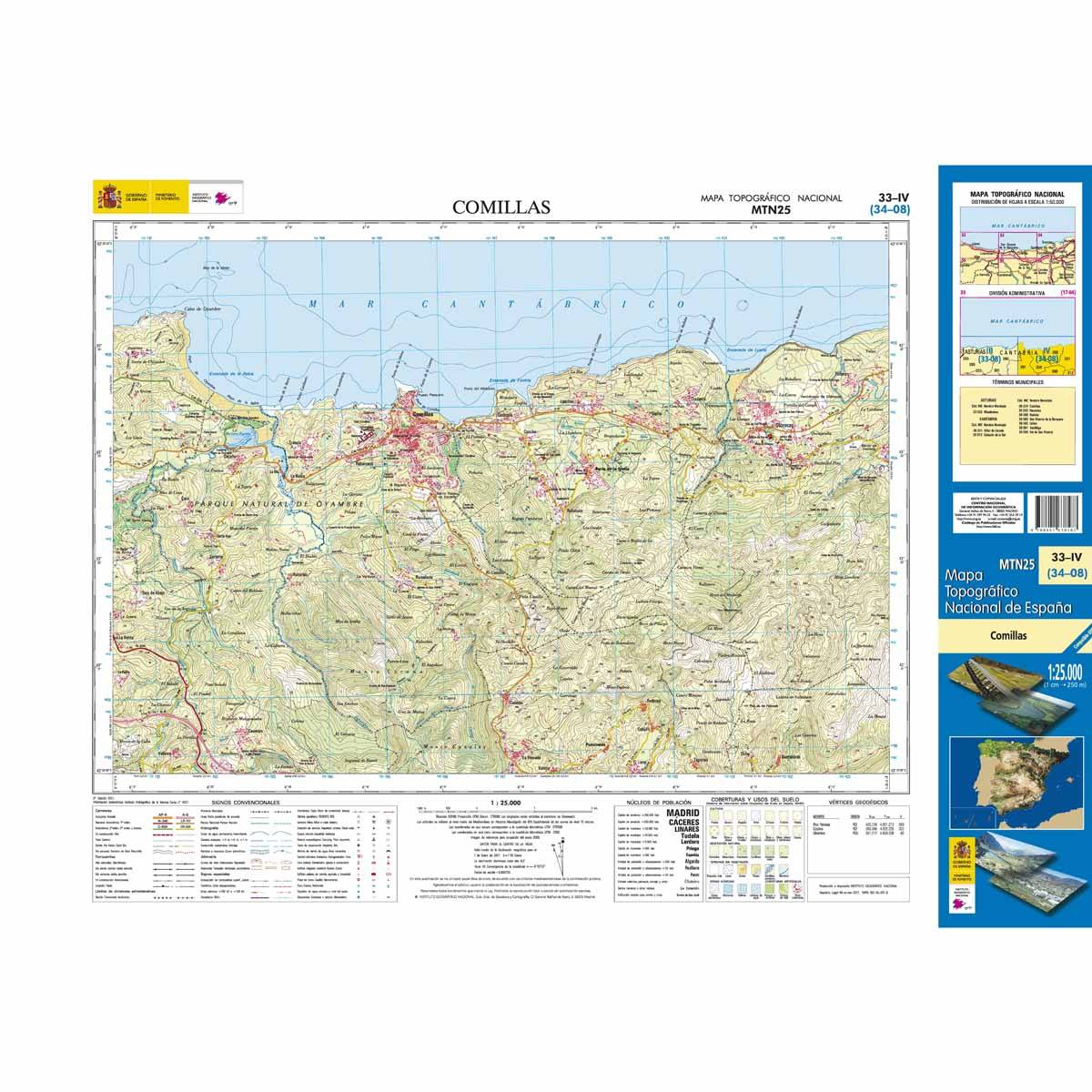
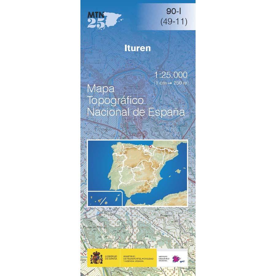
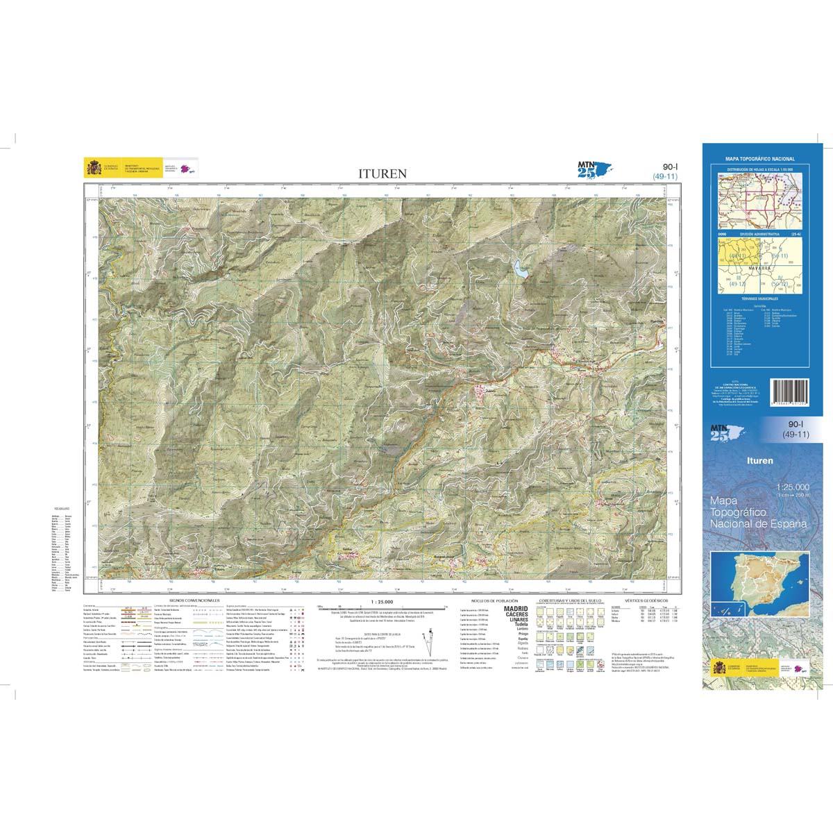
🥾 Topographic maps 1:25,000
The 1:25,000 maps are the most detailed, ideal for hiking, orientation, and precise terrain exploration.
1975 products