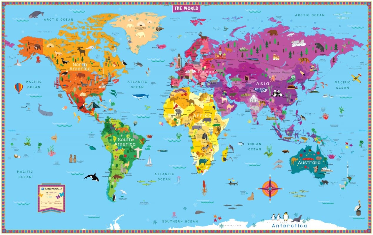
Folded World Maps
Discover our selection of folded world maps and foldable world maps. Practical to use and easy to store, these maps provide an overview of the planet in a compact format once folded.
Depending on the model, you’ll find political world maps, showing countries and borders, as well as physical maps, which place greater emphasis on relief, oceans, and major geographical features. Some maps also include country flags, time zones, or additional information about the Earth.
How to choose a folded world map
-
A political map to locate countries, borders, capitals, and major cities.
-
A physical map to better visualize relief, mountain ranges, oceans, and the planet’s natural geography.
-
A map with flags for a useful reference that is both geographical and educational.
-
A language and map centering suited to your needs: French, English, or multilingual versions, with different cartographic centerings depending on the edition.
Before choosing your map, compare the language, scale, unfolded dimensions, and the cartographic information provided. A folded world map can be used at home, in a classroom, at the office, or as an easy-to-carry reference tool.
Looking for a map designed to stay on display? Discover our collection of world wall maps and planispheres.
21 products