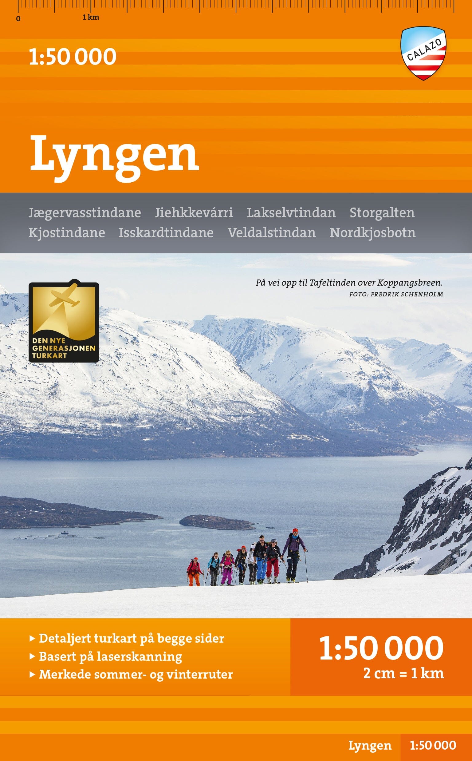
Hiking map - Femundsmarka (Norway) | Calazo - 1:50 000

Price
Regular price $4100
Regular price Sale price $4100
/
  • Free returns (*)
  • Real-time stock levels
  • Cartovia Guarantee – Delivery issue?
    We resend immediately upon receiving a simple photo.
  • In stock, ready to ship
  • Backordered, shipping soon
Tax included.

Frequently bought together:

This Calazo hiking map covers a large part of Femundsmarka National Park as well as hiking areas on both sides of the border between Norway and Sweden. Printed on both sides, it encompasses the main routes and natural areas between Langen, Rogenstugan, Svukuriset, Grövelsjön and Femundtunet.

Created from high-precision topographic data derived from aerial laser surveys, it offers particularly detailed and up-to-date mapping.

📌 Features

  • Scale: 1:50,000
  • Double-sided printed map
  • High-precision topographic data from laser surveys
  • Trails updated from aerial photographs
  • New routes integrated compared to official databases
  • Refuges and mountain facilities indicated
  • Marked hiking trails
  • Winter routes and groomed ski trails

🌍 Covered Territory

  • Femundsmarka National Park
  • Langen
  • Rogenstugan
  • Svukuriset
  • Grövelsjön
  • Femundtunet
  • Border areas between Norway and Sweden

⭐ Highlights

    • Very detailed mapping thanks to aerial laser surveys
    • Trail updates from recent aerial photographs
    • Suitable for both summer hiking and winter activities
    • Location of refuges and marked trails
    • Coverage of one of Scandinavia's most beautiful wilderness areas


ISBN/EAN : 9789189371699
Publication date: 2026
Scale: 1/50,000 (1cm=500m)
Printed sides: both sides
Folded dimensions: 13 x 21cm
Language(s): English, Norwegian
Weight: 52 g