Carte topographique de l'Espagne - Rías de Ferrol, Ares, Betanzos y A Coruña | CNIG carte pliée CNIG

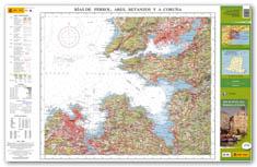
Topographic map of Spain - Rías de Ferrol, Ares, Betanzos y A Coruña | CNIG

Price
Regular price 6,50 €
Regular price Sale price 6,50 €
Save -6,50 €
/
  • Product on order - Shipping within 4 to 6 weeks
  • Delivery costs calculated instantly in the basket
Tax included.

Often purchased together:

Map of Rías de Ferrol, Ares, Betanzos and A Coruña (Galicia) published by CNIG. - Relief indicated by sludge and level curves.
- Indication of hiking trails
- GPS Compatible


ISBN / EAN : 9788441626645
Date de publication : 2013
Echelle : 1/50,000 (1cm=500m)
Dimensions plié(e) : 11 x 26cm
Langue : Spanish
Poids : 50 g

Customer Reviews

Be the first to write a review
0%
(0)
0%
(0)
0%
(0)
0%
(0)
0%
(0)