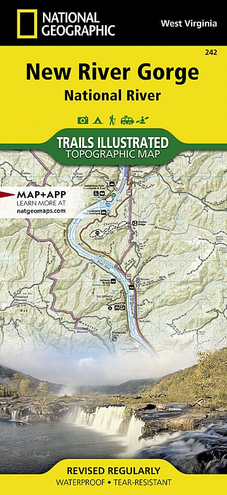
Hiking map of Big South Fork National Recreation Area (Kentucky, Tennessee) published by National Geographic. This detailed map also covers Daniel Boone National Forest, Scott State Forest, the Cumberland River, Little South Fork, Big South Fork and Clear Fork, the New River, Lake Cumberland, Yahoo Falls Scenic Area, Blue Heron Area, Bandy Creek Campground, Leatherwood Ford, Honey Creek, Burnt Mill Bridge, Alum Ford, John Muir Trail, and Bear Creek Overlook. Trails, trailheads, points of interest, and campgrounds are included. Waterproof and tear-resistant. Scale 1:45,000.
