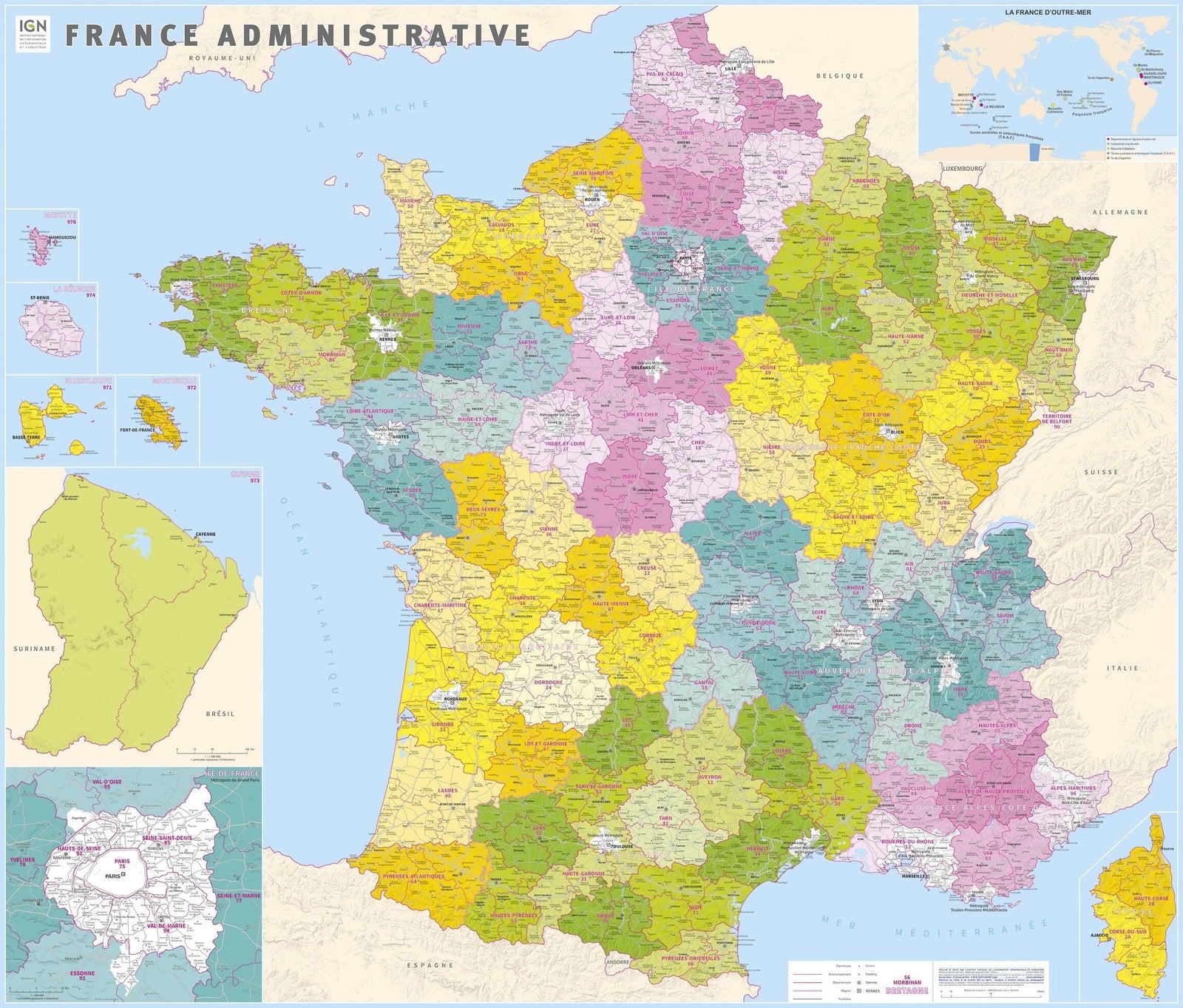
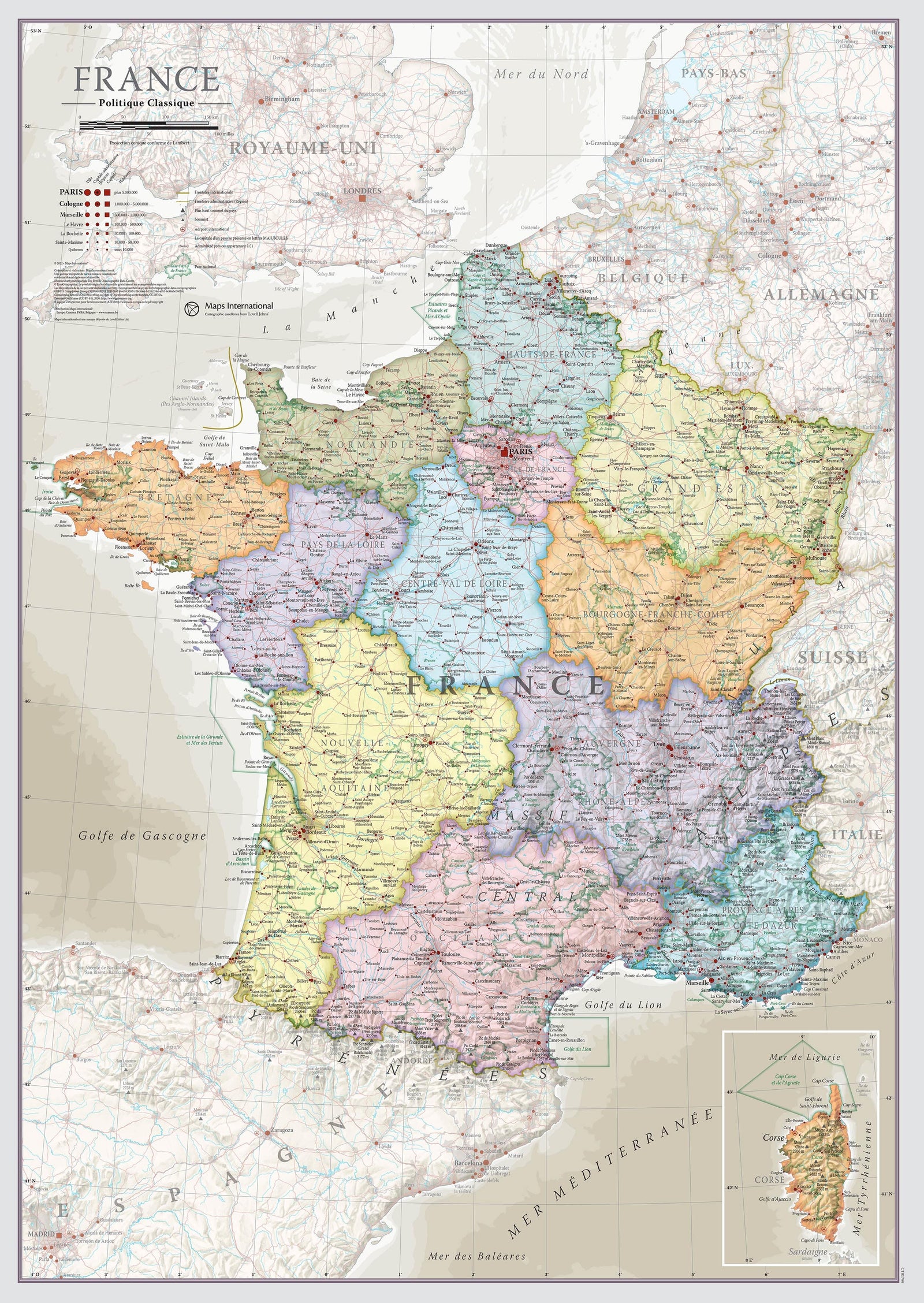
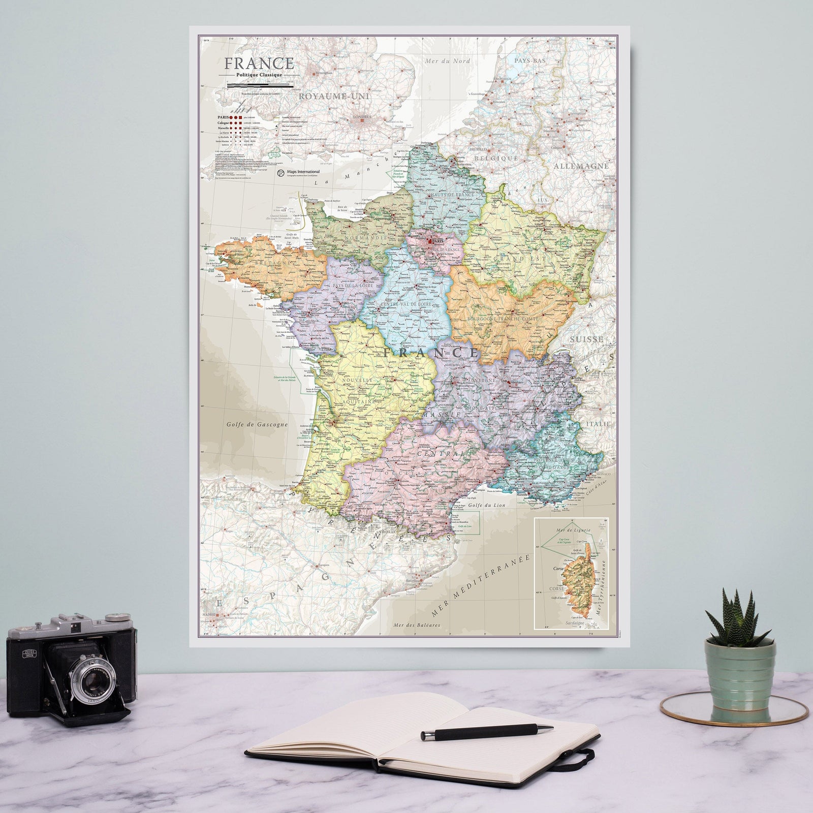
Administrative Wall Map - Île-de-France & Paris (100 x 80 cm) | GeoMetro

Price
Regular price $2700
Regular price Sale price $2700
/
  • Shipping to metropolitan France, Belgium, Germany, Luxembourg, Netherlands within 2-3 business days. Other countries: contact us for a quote
  • Cartovia Guarantee – Delivery issue?
    We resend immediately upon receiving a simple photo.
Tax included.

This administrative wall map of Île-de-France published by GeoMetro clearly presents the territorial organization of the Paris region. It highlights departments, main transport infrastructures, and postcode areas, making it a particularly useful tool for businesses, local authorities, schools, or offices.

Thanks to its double-sided lamination, the map is writable and erasable, ideal for commercial tracking, planning, or professional display.

📌 Features

  • Administrative wall map of Île-de-France and Paris
  • Edition 2026
  • Dimensions: 100 x 80 cm
  • Scale: 1:200,000
  • Delivered rolled, without creases
  • Transparent lamination on both sides
  • Writable and erasable surface

🌍 Information represented

  • Île-de-France region
  • Paris
  • Regional and departmental boundaries
  • Department names
  • Main motorway network
  • Main airports


    ISBN/EAN : 0640813803926
    Publication date: 2026
    Scale: 1/200,000 (1 cm = 2 km)
    Printed sides: front
    Unfolded dimensions: 100 x 80 cm
    Language(s): French
    Poids : 280 g