SIG Patagon – Maps of Chilean Patagonia
SIG Patagon is a small independent publisher based in Punta Arenas, in the far south of Chile. Its name comes from SIG, the Spanish acronym for geographic information systems (GIS): its cartographer, who moved to the region in 1999, builds and updates the maps from geographic data. They are sold locally in Punta Arenas and in Puerto Natales, the gateway to Torres del Paine.
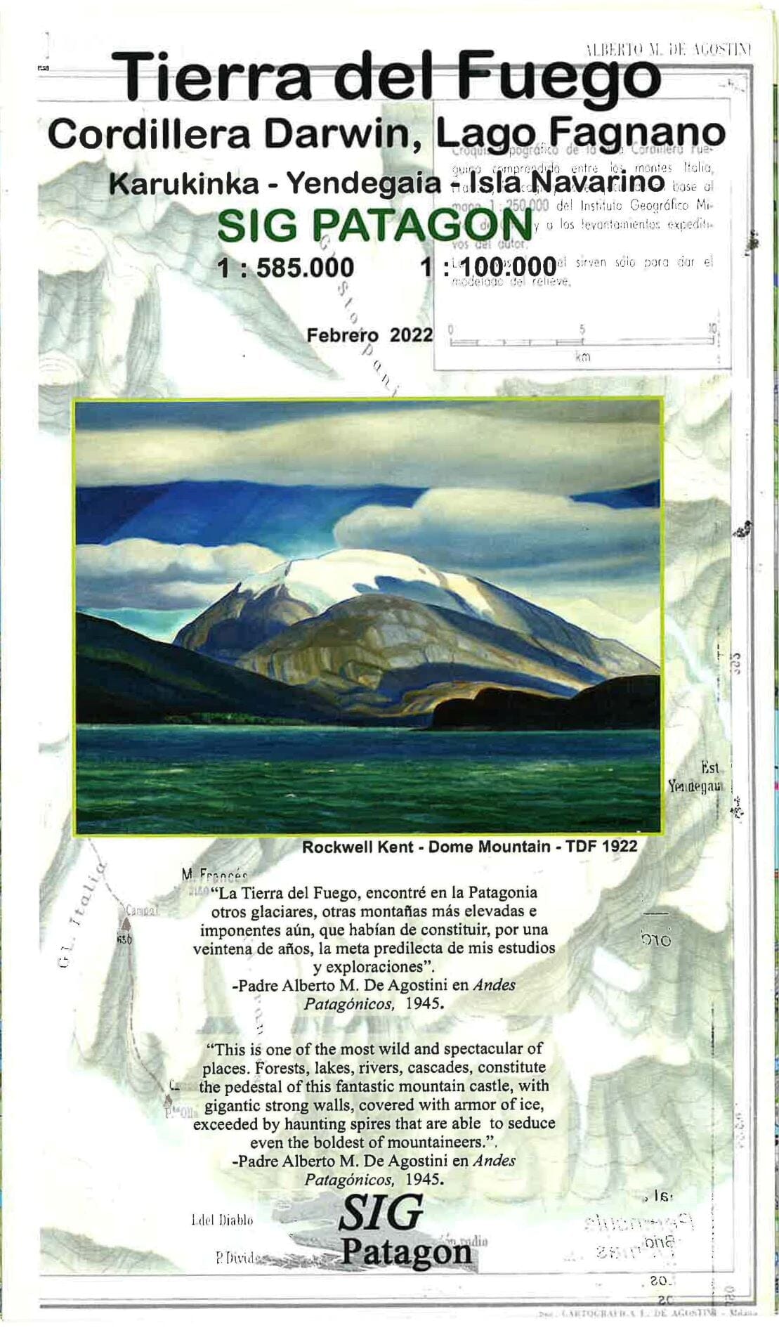
We offer several of its maps of the Magallanes region. The Torres del Paine map covers the park and its classic treks, the W and the O Circuit, and extends north to El Calafate on the Argentine side. The others cover Punta Arenas and the Brunswick Peninsula down to Cape Froward, the southernmost point of mainland South America; Tierra del Fuego, with Navarino Island on the reverse; and the steppe around Río Verde and Laguna Blanca, north of Punta Arenas. To compare with other publishers, browse all our maps of Patagonia and our Torres del Paine maps.
SIG Patagon maps are printed on both sides, most of them on waterproof, tear-resistant synthetic paper that stands up to Patagonian wind and rain. They carry a UTM grid for GPS use, and their legends are mainly in Spanish.
The Cartovia guarantee — We only sell the latest available edition of every map. No old stock, ever.
4 products