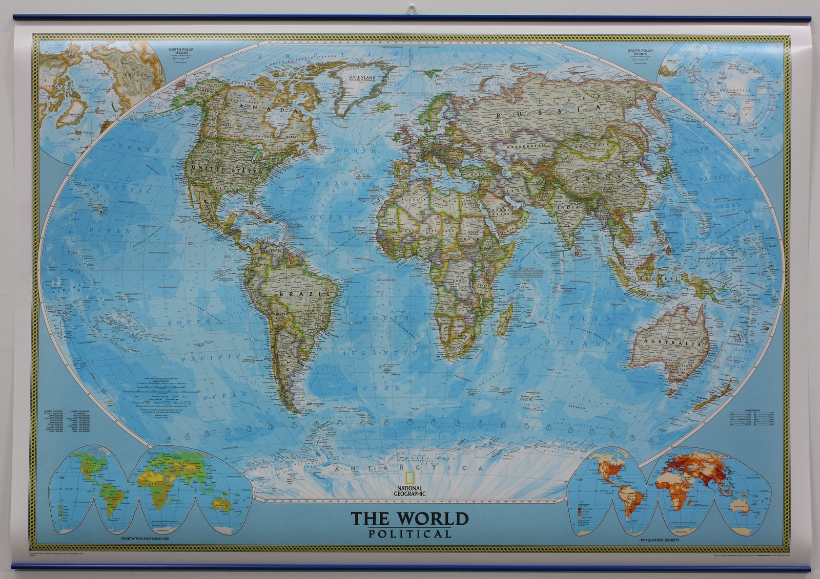
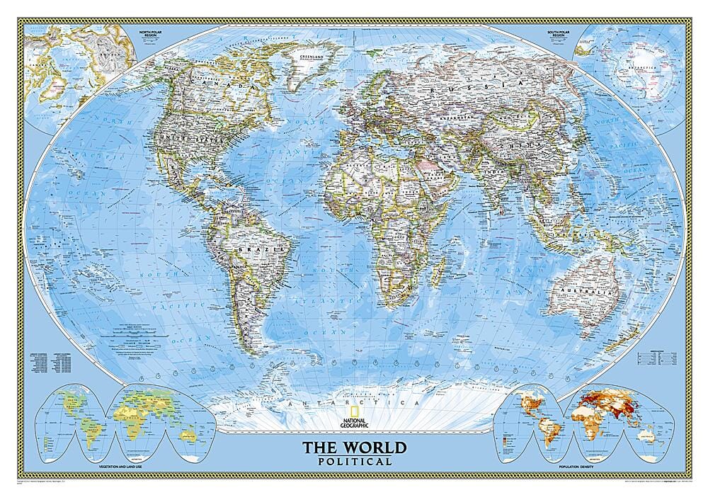
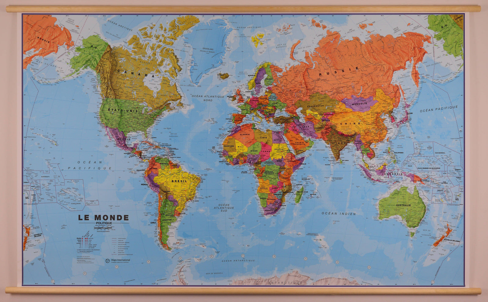
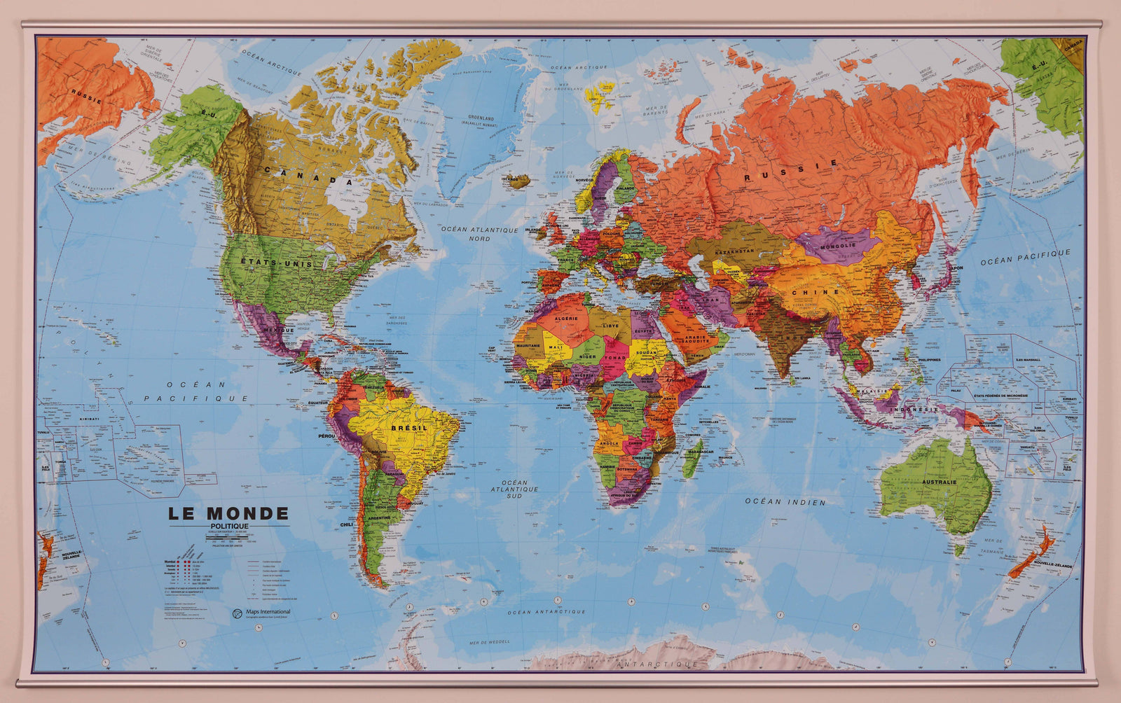
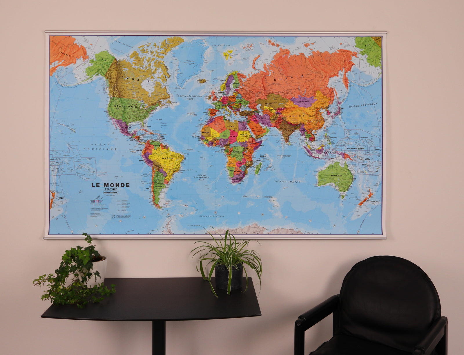
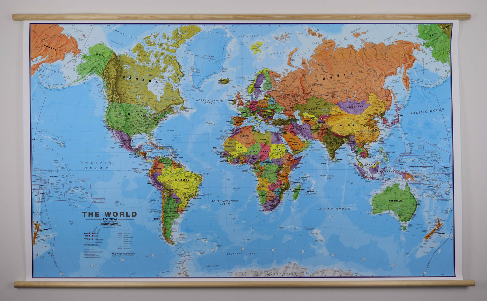
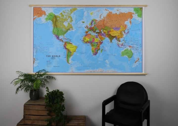
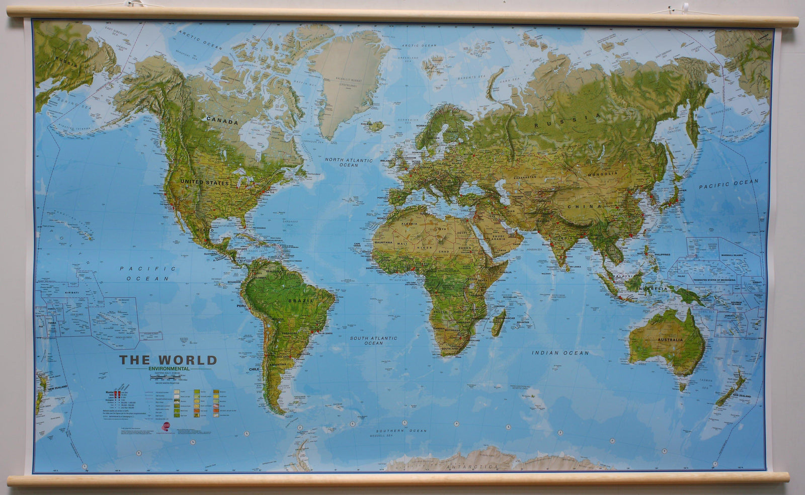
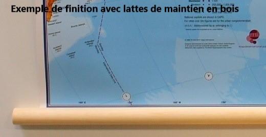
Laminated wall map (in English) - Political world, with metal support slats - 1/32M (111 x 77 cm) | National Geographic
- Shipping within 7 to 10 working days from our warehouse in France
- Delivery costs calculated instantly in the basket
Over 19,500 maps 🗺️ and travel guides, hiking maps, posters, globes, and decor in stock!
Explore the world, one map at a time 🗺️
Cartovia is rated Excellent ⭐️ on Trustpilot — 9,100+ reviews from explorers and map lovers worldwide.
Cartovia is rated Excellent ⭐️ on Trustpilot — 9,100+ reviews from explorers and map lovers worldwide
Laminated poster of the political world equipped with metal support slats (top and bottom) to facilitate hanging on the wall.
This map uses the Winkel Tripel projection to reduce the distortion of land masses near the poles. This map includes subtle land coloring, prevailing winds and ocean currents. Separate insets show the northern and southern polar regions, vegetation and land use worldwide, plus global population density.
Delivered in a protective plastic tube.
ISBN / EAN : 9781597753333
Date de publication : 2021
Echelle : 1/32,000,000 (1cm=320km)
Impression: front
Dimensions déplié(e) : 111 x 77cm
Langue : English
Poids :
250 g
The exclusive newsletter for travel and discovery enthusiasts!