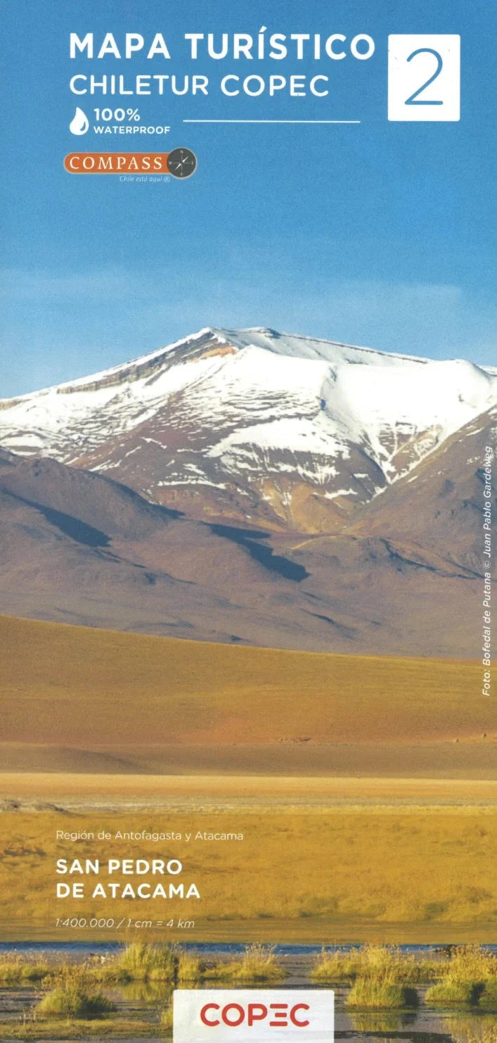
Editorial Compass Chile | Scale 1:400,000 | GPS-Compatible | Waterproof & Tear-Resistant
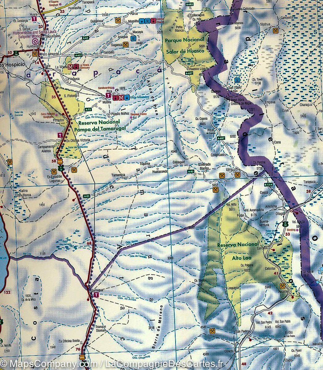
This map is #2 of a 9-sheet series of indexed and GPS-compatible regional maps from Editorial Compass Chile. It covers the San Pedro de Atacama – Antofagasta region of northern Chile at a 1:400,000 scale.
🧭 Coverage:
-
Spans 530 km from Calama to Caldera
-
Printed on lightweight, waterproof, tear-resistant synthetic paper
🌄 Topographic Representation:
🏞️ Highlights:
-
Los Flamencos National Reserve
-
Llullaillaco National Park
-
Pan de Azúcar National Park
-
Nevado Tres Cruces National Park
-
Includes Reserva Nacional de Fauna Andina Eduardo Avaroa (Bolivia)
🚗 Travel and Road Features:
-
Shows paved roads, dirt roads, and 4WD tracks
-
Border crossings, petrol stations, toll booths, police stations
-
Driving distances marked on main and secondary routes
-
Railway lines and local airports
📍 Additional Features:
This detailed, durable, and comprehensive map offers a vivid and accurate guide for travelers and explorers venturing into northern Chile and southwestern Bolivia.

