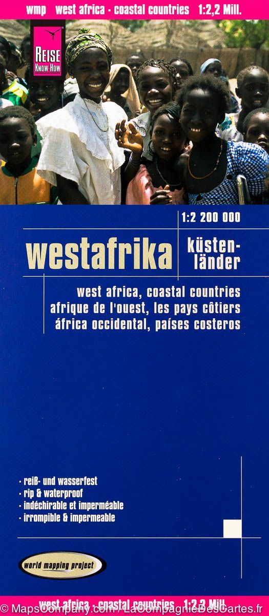
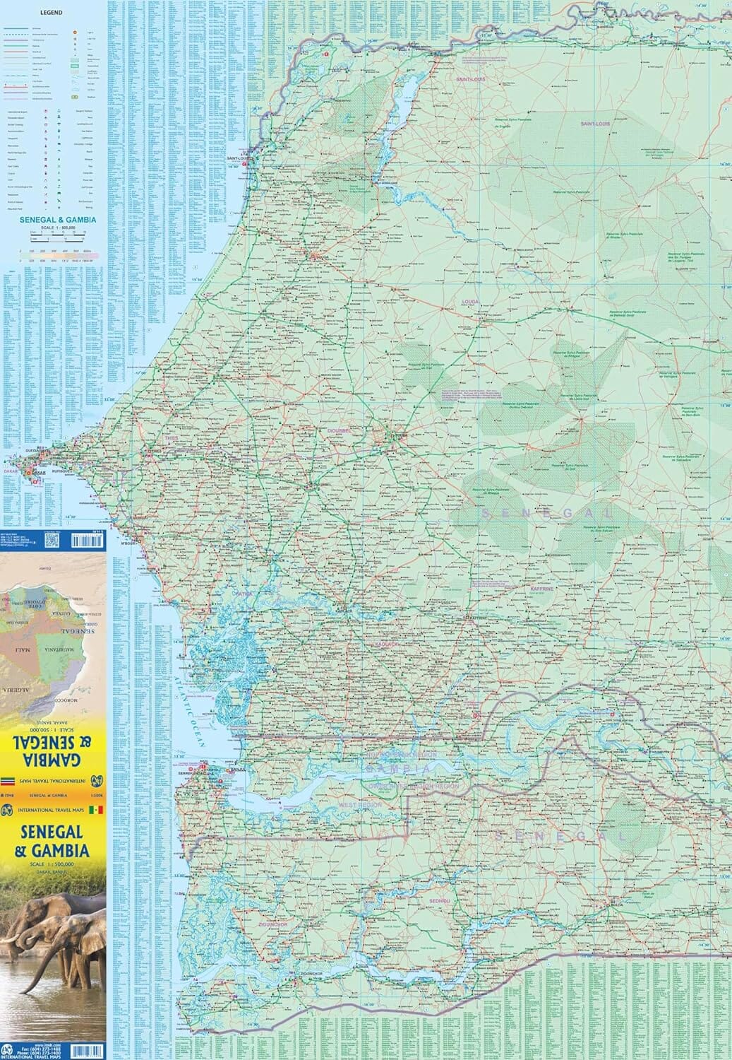
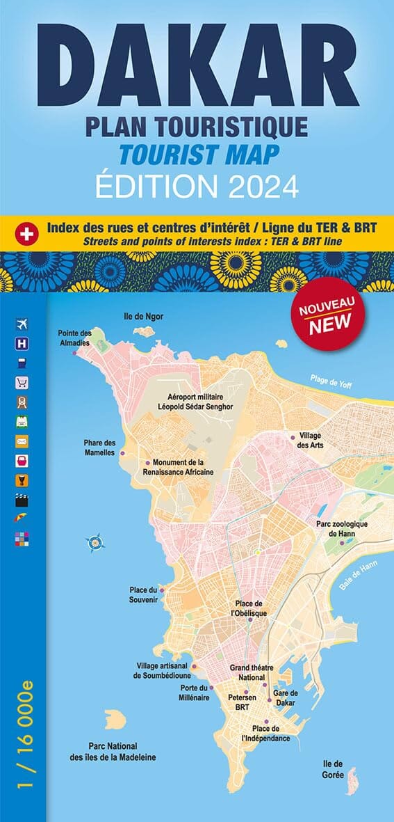
Road map - Saint - Louis | Laure Kane (French)
Regular price
5700 zł
Regular price
Sale price
5700 zł
Save -57 zł
/
- Shipping within 24 working hours from our warehouse in France
- Frais de livraison calculés instantanément dans le panier
- Retours gratuits (*)
- Stocks en temps réel
- In stock, ready to ship
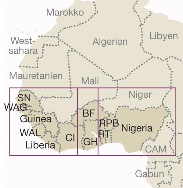
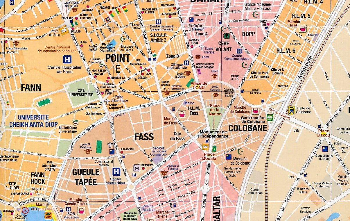
Related geographic locations and collections: Senegal