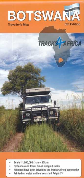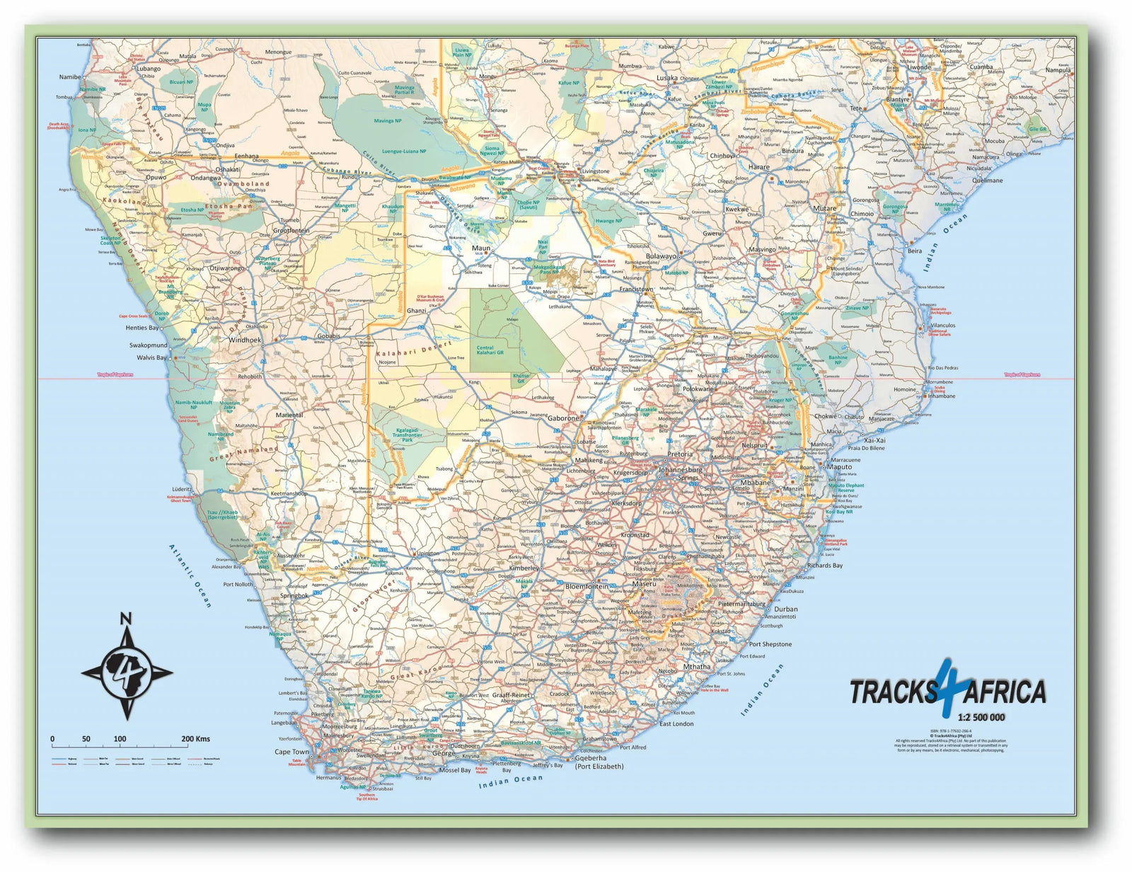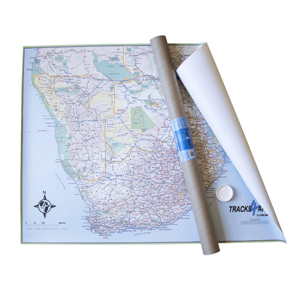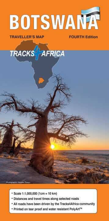
Road map - Botswana | Tracks4Africa
Regular price
7600 zł
Regular price
10600 zł
Sale price
7600 zł
Save 30 zł
/
- Shipping within 24 working hours from our warehouse in France
- Delivery costs calculated instantly in the basket
- Free returns (*)
- Real-time inventory
- Low stock - 1 item left
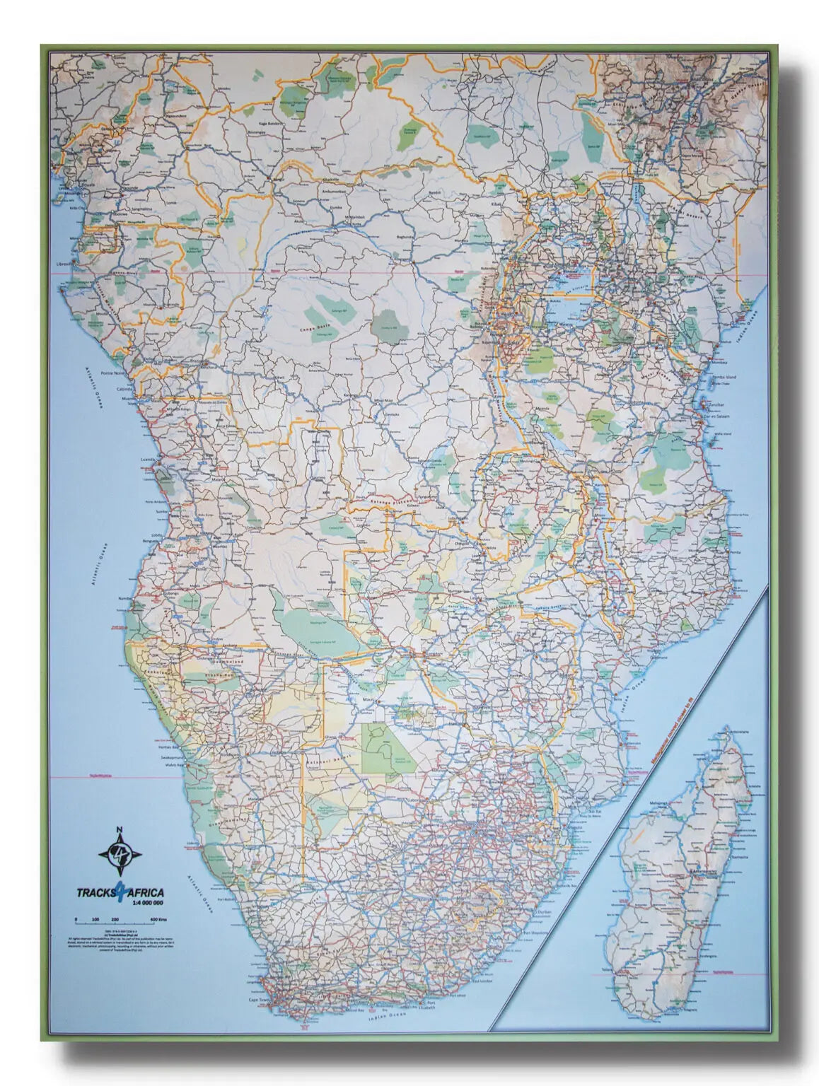
Related geographic locations and collections: Botswana, Chobe National Park, Tracks4Africa Maps & Guides – Africa Specialists