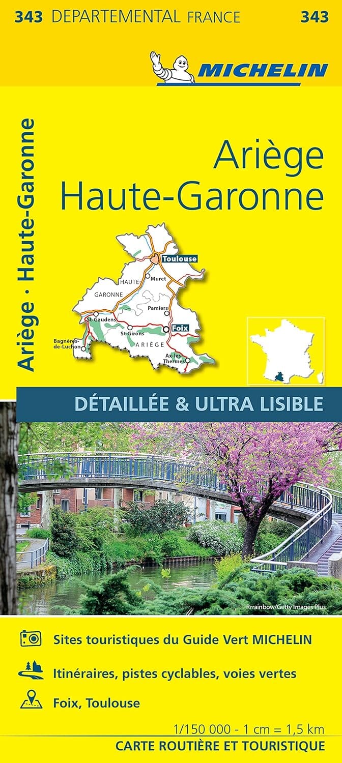
TOP 25 Map No. 2148 OTR (resistant) - Vicdessos, Pique d'Estats & Pic du Montcalm (Pyrenees) | IGN
Regular price
20700 kr
Regular price
Sale price
20700 kr
/
- Shipping within 24 working hours from our warehouse in France
- Delivery costs calculated instantly in the basket
- Free returns (*)
- Real-time inventory
- In stock, ready to ship