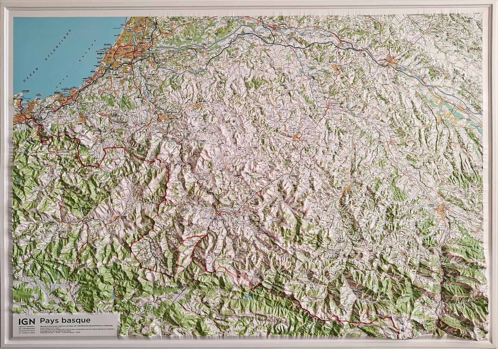
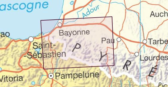
Hiking map No. 2 - Basque Country East (Pyrenees) | Rando Editions (French)

Price
Regular price 17400 kr
Regular price Sale price 17400 kr
Save -174 kr
/
  • Shipping within 24 working hours from our warehouse in France
  • Frais de livraison calculés instantanément dans le panier
  • Retours gratuits (*)
  • Stocks en temps réel
  • In stock, ready to ship
  • Backordered, shipping soon
Tax included.

Souvent achetés ensemble :

Eastern Country Detailed Hiking map (Pyrenees) published by Rando Editions. This map extends from Aïnhoa to the west at Anie Peak to East - French and Spanish slopes: Baretous, Soule, Lower Navarre, Valley of the Aldudes, Ronceveaux, Saint Jean Foot, Irati, Sierra de Abodi. Overprint of hiking and walking, skiing, mountain bike routes.

Location of guarded shelters, Stage cottages, Campsites, Bivouac areas, Tourist indications (points of view, sites), Cultural (museums, etc.), sports (centers of equestrian activity, mountain biking, Free flight, climbing, canyoning, rafting ...). Impression five colors. Topographic map with level curves and useful information to the included mountain practice.

1/50 000 scale (1 cm = 500 m).


ISBN/EAN : 9782344007655
Publication date: 2015
Scale: 1/50,000 (1cm=500m)
Printed sides: front
Folded dimensions: 22.5 x 11 x 0.5cm
Unfolded dimensions: 131 x 90cm
Language(s): French English
Weight: 90 g

Customer Reviews

Based on 2 reviews
0%
(0)
50%
(1)
50%
(1)
0%
(0)
0%
(0)
G
Gaspard d.T. (Bassens, FR)

Tres bien

a
alain r.
Dommage qu’il n’y a pas de recoupem ...

Dommage qu’il n’y a pas de recoupemente avec la carte 1