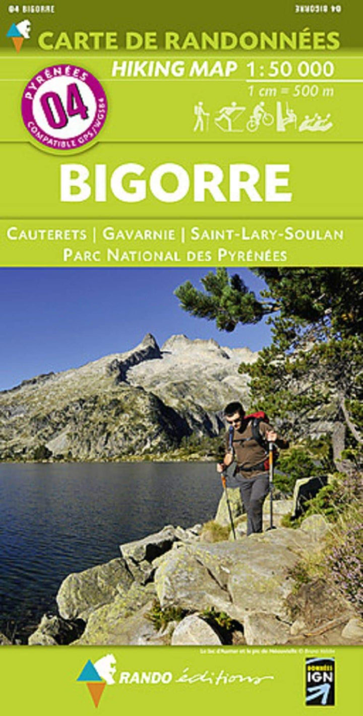
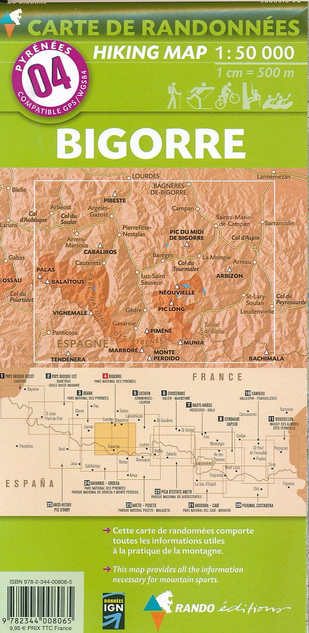
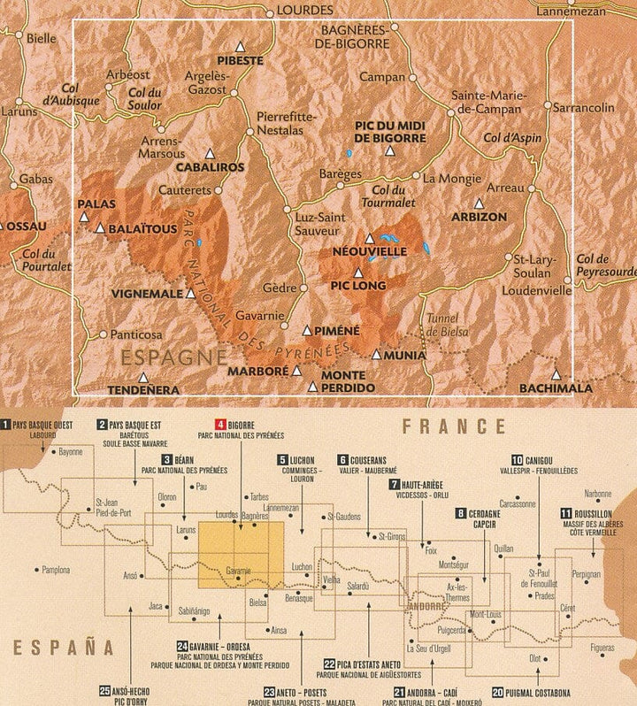
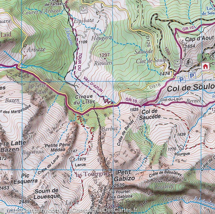
Hiking map No. 4 - Bigorre (Pyrenees) | Rando Editions (French)
- Shipping within 24 working hours from our warehouse in France
- Delivery costs calculated instantly in the basket
- Free returns (*)
- Real-time inventory
- In stock, ready to ship
Over 19,500 maps 🗺️ and travel guides, hiking maps, posters, globes, and decor in stock!
Over 19,500 maps 🗺️ and travel guides, hiking maps, posters, globes, and decor in stock!
MapsCompany becomes Cartovia ✨ We tell you everything here 🗺️
MapsCompany becomes Cartovia ✨ We tell you everything here 🗺️
Trusted by map lovers and explorers 🌏 in 80+ countries since 2010 ✅
Trusted by map lovers and explorers 🌏 in 80+ countries since 2010 ✅
ISBN/EAN : 9782344008065
Publication date: 2015
Scale: 1/50,000 (1cm=500m)
Printed sides: front
Folded dimensions: 22.5 x 11 x 0.5cm
Unfolded dimensions: 131 x 90cm
Language(s): French English
Weight:
90 g
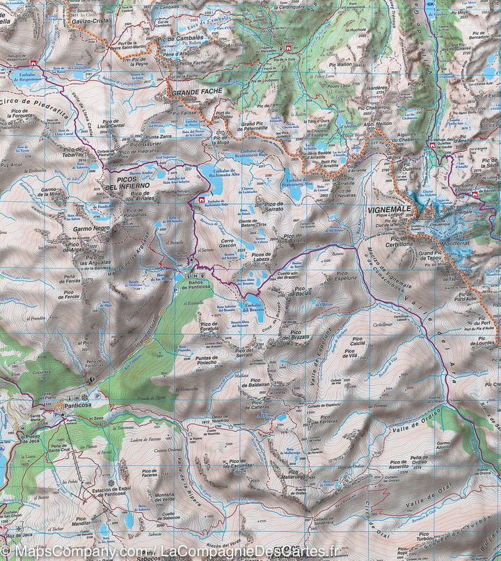
Impression de cette carte à l'économie par rapport aux précedentes éditions. Manque de details nécessaires à une randonné, pas d'indications pour un usage à la boussole, etc...
On voit que cette carte vise plus les touristes que les vrais randonneurs ou montagnards. La carte est plus claire pour un néophite mais presque inutile pour ce à quoi elle devrait étre destinée.
Envoi rapide, prix correct, très bon service et grand choix de documents sur ce site. Merci!
Très bien, rapide, en parfait état.
The exclusive newsletter for travel and discovery enthusiasts!
