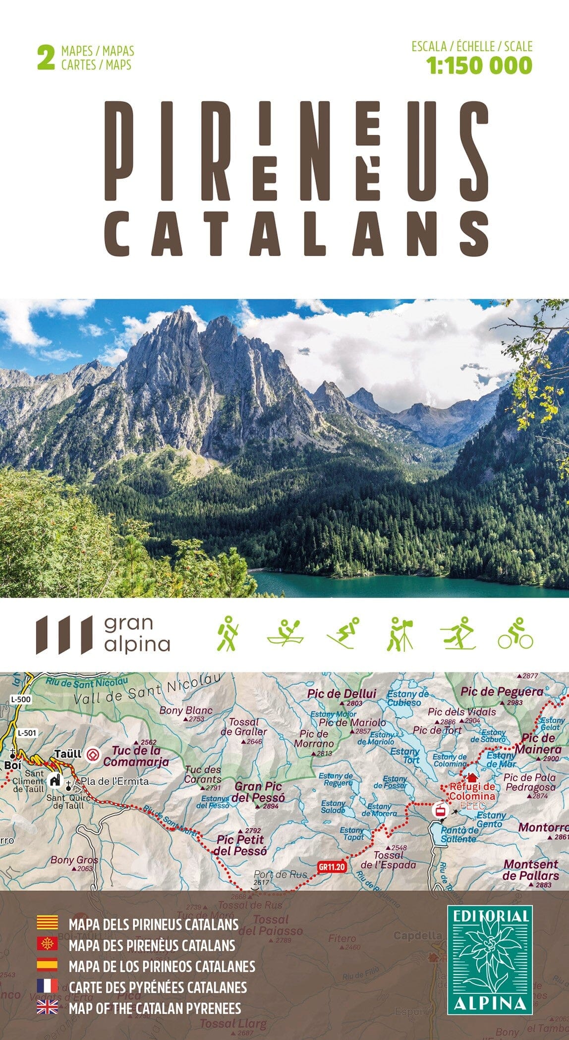
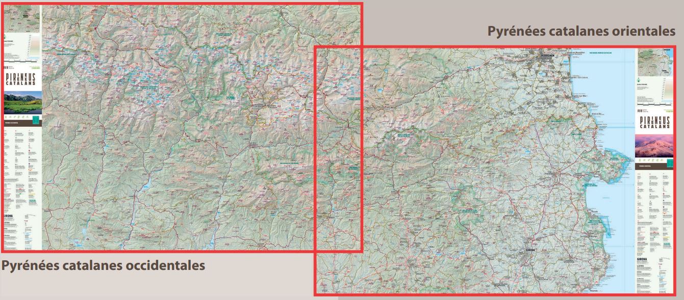
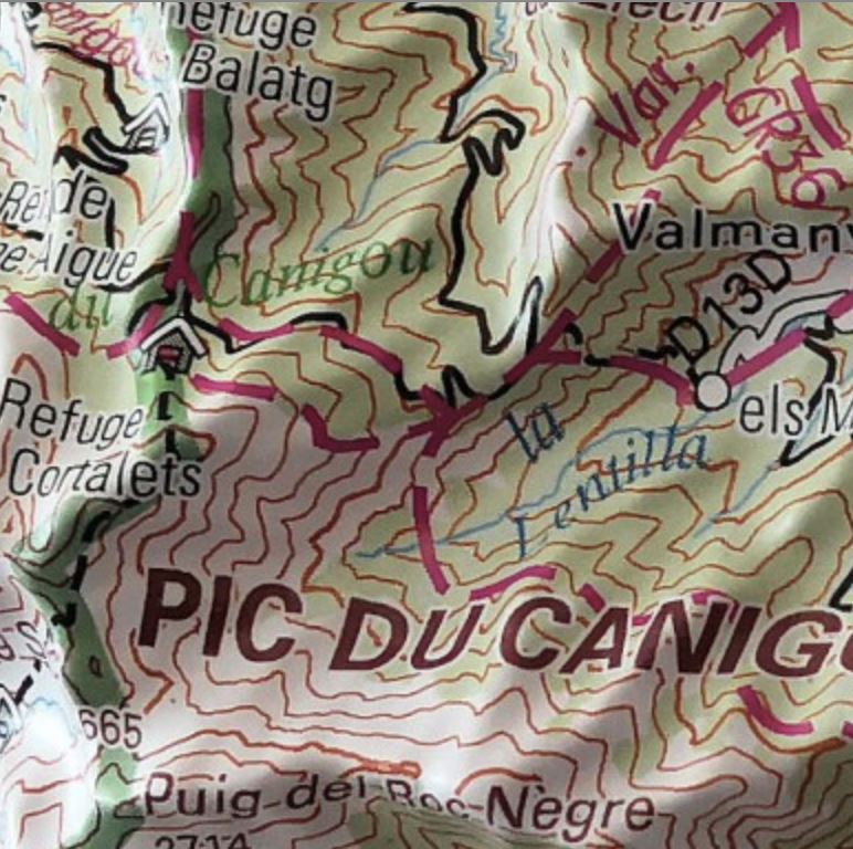
General map - Catalan Pyrenees | Alpina
- Shipping within 24 working hours from our warehouse in France
- Delivery costs calculated instantly in the basket
- Free returns (*)
- Real-time inventory
- In stock, ready to ship
Over 19,500 maps 🗺️ and travel guides, hiking maps, posters, globes, and decor in stock!
MapsCompany becomes Cartovia ✨ We tell you everything here 🗺️
Trusted by map lovers and explorers 🌏 in 80+ countries since 2010 ✅
Set of 2 maps of the Catalan Pyrenees published by Alpina.
Map area: Catalan Pyrenees. From Cap de Creus to the Val d'Aran.
Features: 2 maps at a scale of 1:150,000 (Western Catalan Pyrenees and Eastern Catalan Pyrenees) with essential tourist and hiking information for the entire Catalan Pyrenees: communication routes, towns, peaks, mountain refuges, long-distance hiking trails, ports and passes, campervan sites, and points of interest.
ISBN/EAN : 9788480909785
Publication date: 2023
Scale: 1/25,000 (1cm=250m)
Printed sides: front
Folded dimensions: 21 x 12.5cm
Language(s): French, English, Castilian, German
Weight:
170 g
The exclusive newsletter for travel and discovery enthusiasts!