Carte topographique - Camino de Santiago (Camino Frances) : Triacastela-Arzúa | CNIG carte de randonnée CNIG Default Title

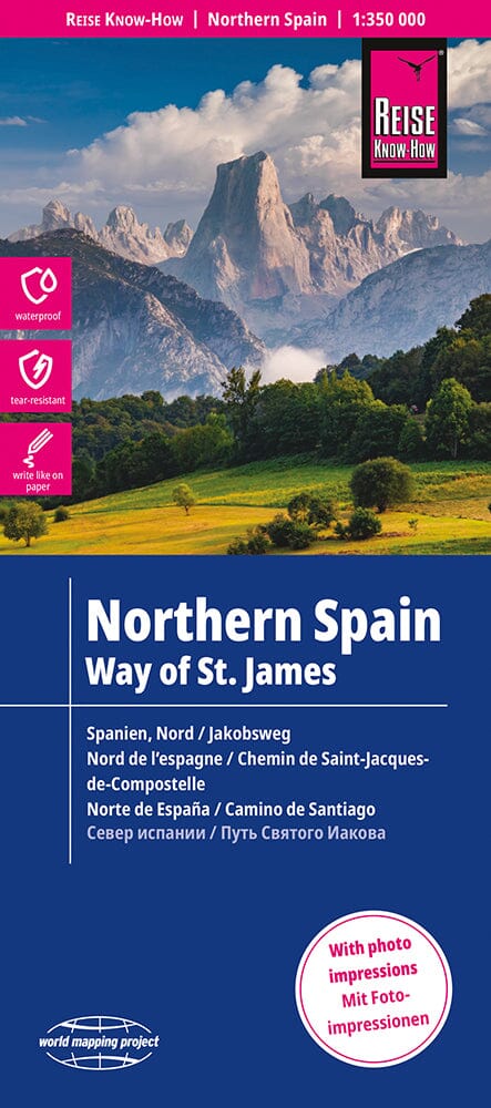
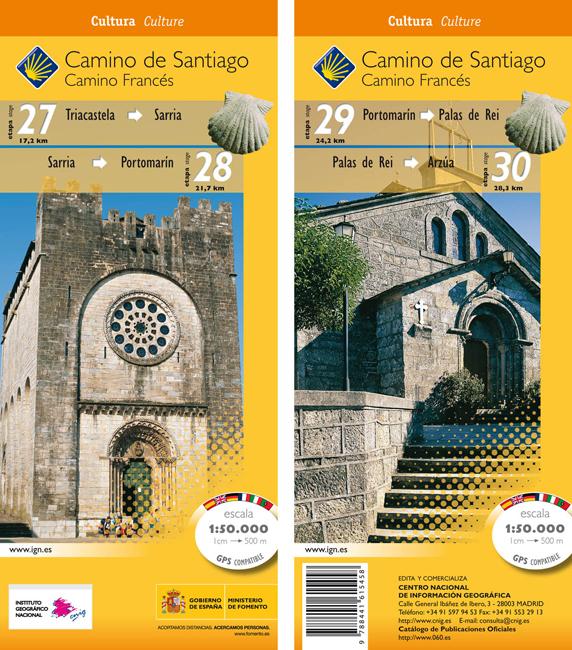
Topographic map - Camino de Santiago (Camino Frances): Triacastela - Arzúa | CNIG

Price
Regular price 500 €
Regular price Sale price 500 €
Save -5 €
/
  • Shipping within 24 working hours from our warehouse in France
  • Frais de livraison calculés instantanément dans le panier
  • Retours gratuits (*)
  • Stocks en temps réel
  • Low stock - 2 items left
  • Backordered, shipping soon
Tax included.

Souvent achetés ensemble :

Topographic map of part of the Compostela path in Spain.
each map at 1/50 000 is double - sided and has four panels of 57 x 35 cm with a complete topographic mapping of the area crossed by the 'itinerary. The contours are at 50 m intervals, with shades and colors to show the different types of vegetation (forests, meadows, olive groves, vineyards, etc.).

A superimpression highlights the route and its variants.
Although maps, given their scale, are mainly designed for walkers, suitable alternatives for cyclists are also indicated. The icons indicate various related historic monuments.


ISBN/EAN : 9788441615458
Publication date: 2010
Scale: 1/50,000 (1cm=500m)
Printed sides: both sides
Folded dimensions: 11 x 23cm
Language(s): French, English, German, Spanish, Italian, Portuguese
Weight: 50 g

Customer Reviews

Be the first to write a review
0%
(0)
0%
(0)
0%
(0)
0%
(0)
0%
(0)