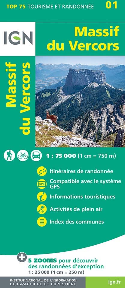
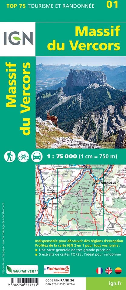
TOP 75 Map No. 1 - Vercors Massif | IGN

Price
Regular price 980 €
Regular price Sale price 980 €
/
  • Shipping within 24 working hours from our warehouse in France
  • Delivery costs calculated instantly in the basket
  • Free returns (*)
  • Real-time inventory
  • In stock, ready to ship
  • Backordered, shipping soon
Tax included.

Related geographic locations and collections:

French Alps (all hiking), Vercors Massif

Often purchased together:

Top 75 Topographic map of the Vercors Massif published by IGN. This detailed map of the Vercors covers the region between Grenoble (inclusive) and die (from north to south) and novels on Isère to the mature (from west east) with the Parc du Vercors. Scale 1/75 000 (1 cm = 750 m).

Level curves, detailed legend and indication of hiking trails. Cities index.

This map includes 5 zooms on a 1/25,000 scale to discover exceptional hikes (the Moucherotte, the Forest of the Coulmes, the Col de Rousset, the Great Moucherolle, Mount Needille and the Grand Veymont) .


ISBN/EAN : 9782758554714
Publication date: 2023
Scale: 1/75,000 (1cm=750m) & 1/25,000 (1cm=250m)
Printed sides: front
Folded dimensions: 24.6 x 11.2 x 0.7cm
Unfolded dimensions: 110x100cm
Language(s): French
Weight: 89 g