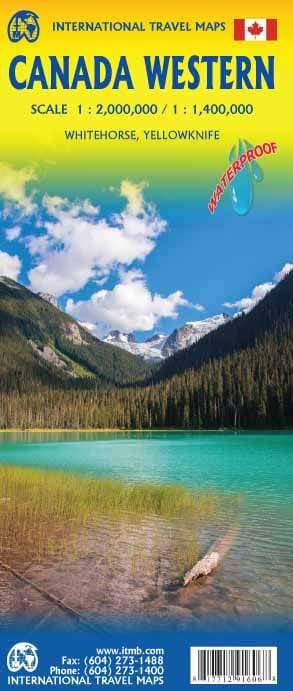
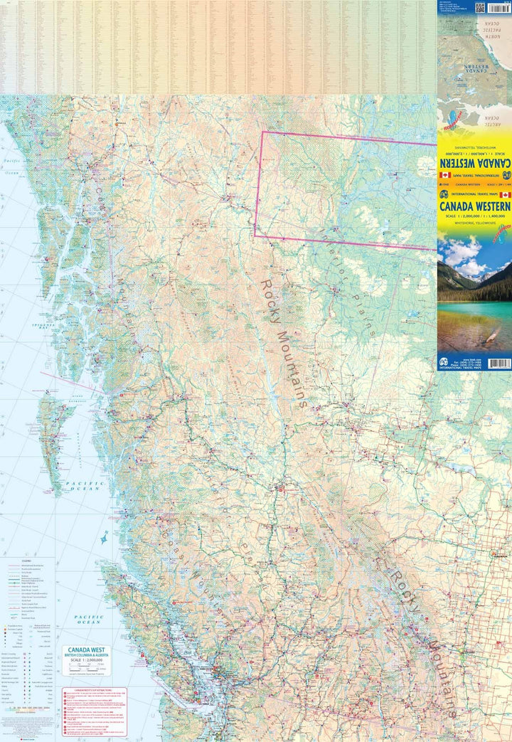
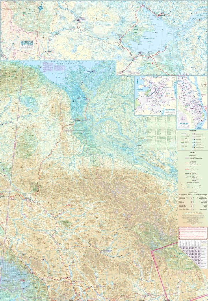
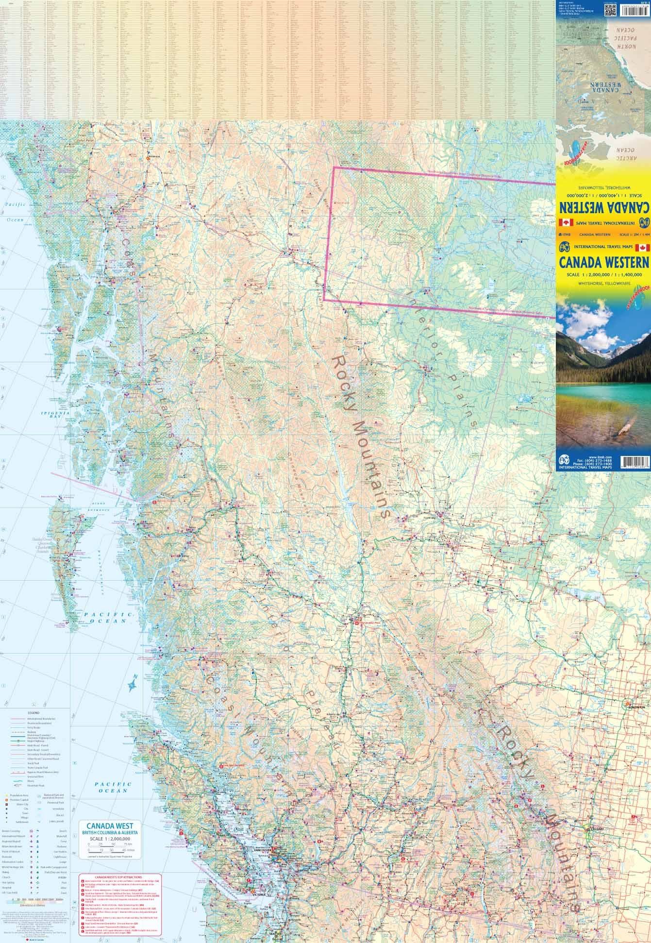
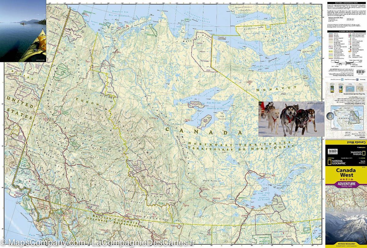
Travel map - West Canada | ITM
- Shipping within 24 working hours from our warehouse in France
- Delivery costs calculated instantly in the basket
- Free returns (*)
- Real-time inventory
- In stock, ready to ship
Over 19,500 maps 🗺️ and travel guides, hiking maps, posters, globes, and decor in stock!
Over 19,500 maps 🗺️ and travel guides, hiking maps, posters, globes, and decor in stock!
MapsCompany becomes Cartovia ✨ We tell you everything here 🗺️
MapsCompany becomes Cartovia ✨ We tell you everything here 🗺️
Trusted by map lovers and explorers 🌏 in 80+ countries since 2010 ✅
Trusted by map lovers and explorers 🌏 in 80+ countries since 2010 ✅
ISBN/EAN : 9781771291606
Publication date: 2017
Scale: 1/2,000,000 (1 cm = 20 km) & 1/1,400,000 (1 cm = 14 km)
Printed sides: both sides
Folded dimensions: 24.6 x 10.3 x 0.5cm
Unfolded dimensions: 100 x 68cm
Language(s): English
Weight:
77 g
Je cherchais une carte routière récente et détaillée pour préparer mon prochain voyage dans cette région. C'est sur celle-ci que mon choix a porté, la préférant aux cartes Michelin trop sommaires et aux cartes du National Geographic à échelle trop petite. Je suis très satisfait de mon choix et le recommande pour une traversée en voiture des Rocheuses.
Carte conforme à mes attentes
Cette carte est absolument parfaite !!!
Merci pour tout !!!
C’est exactement ce que je recherchais pour un futur voyage.
The exclusive newsletter for travel and discovery enthusiasts!
