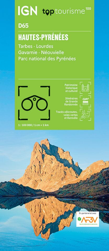
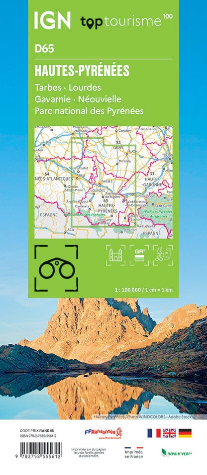
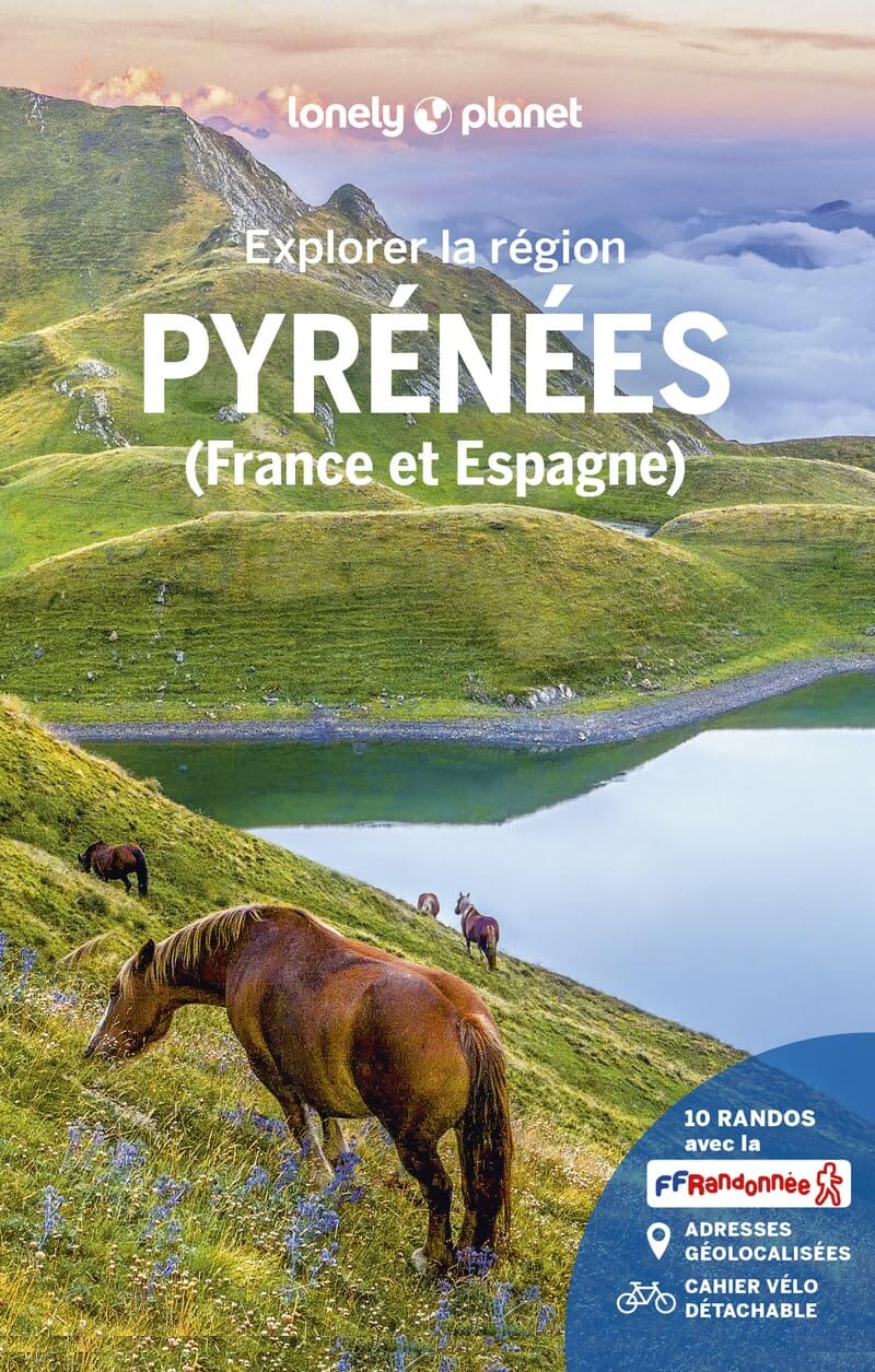
TOP 100 D65 Tourist map - Hautes-Pyrénées: Tarbes, Lourdes, Gavarnie, Néouvielle | IGN

Price
Regular price 840 €
Regular price Sale price 840 €
Save -8,40 €
/
  • Shipping within 24 working hours from our warehouse in France
  • Frais de livraison calculés instantanément dans le panier
  • Retours gratuits (*)
  • Stocks en temps réel
  • In stock, ready to ship
  • Backordered, shipping soon
Tax included.

Souvent achetés ensemble :

Tourist map of the Hautes-Pyrénées published by the IGN.

This new edition has a new departmental division. It includes cycle routes in partnership with the AF3V association – VéloRoutes et Voies Vertes.
 
The new TOP 100, with its 1:100,000 scale (1 cm = 1 km), is the ideal map for discovering a region and sightseeing on foot, by bike or by car.
 
A large amount of tourist information is represented very precisely in the cartography: parks and nature reserves, monuments, castles, museums, caves, viewpoints, shelters, climbing and white water sports sites, supervised beaches, etc.
An enhanced network of secondary roads, to allow safe bike rides:
• For discovery on foot, all of the GR® and GR de Pays®
• For discovery by bike, the entire local road network and all the cycle routes and greenways with the AF3V classification with tarmacked or stone roads, on their own site or shared with other vehicles
• For discovery by car, the entire road network: national, regional, departmental and secondary.
 
To complete the mapping:
• the relief is represented by the contour lines and the elevation points
• an index of municipalities allows you to easily find your way around

Caption in three languages: French, English and German.


ISBN/EAN : 9782758555612
Publication date: 2024
Scale: 1/100,000 (1cm=1km)
Printed sides: both sides
Folded dimensions: 11 x 25cm
Language(s): French, English, German
Weight: 108 g

Customer Reviews

Be the first to write a review
0%
(0)
0%
(0)
0%
(0)
0%
(0)
0%
(0)