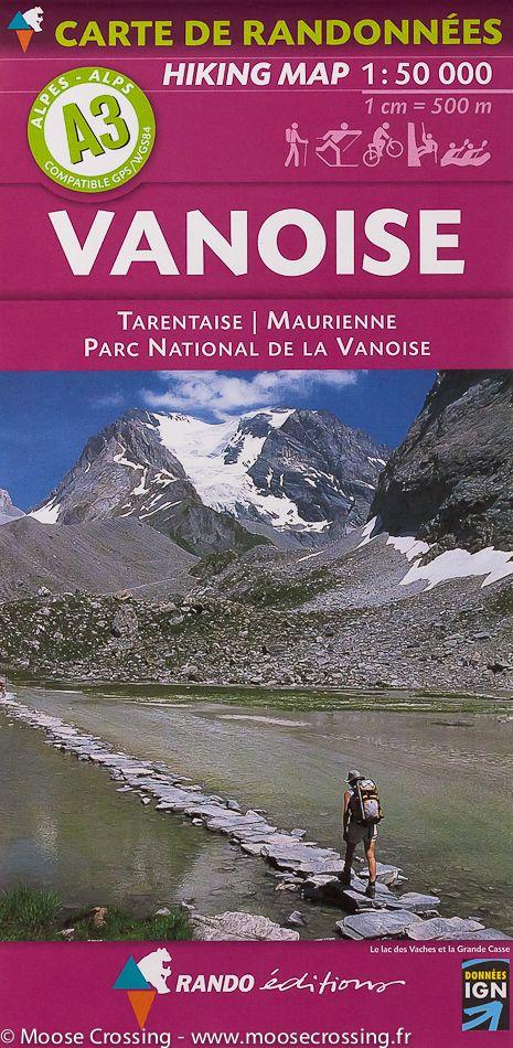
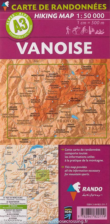
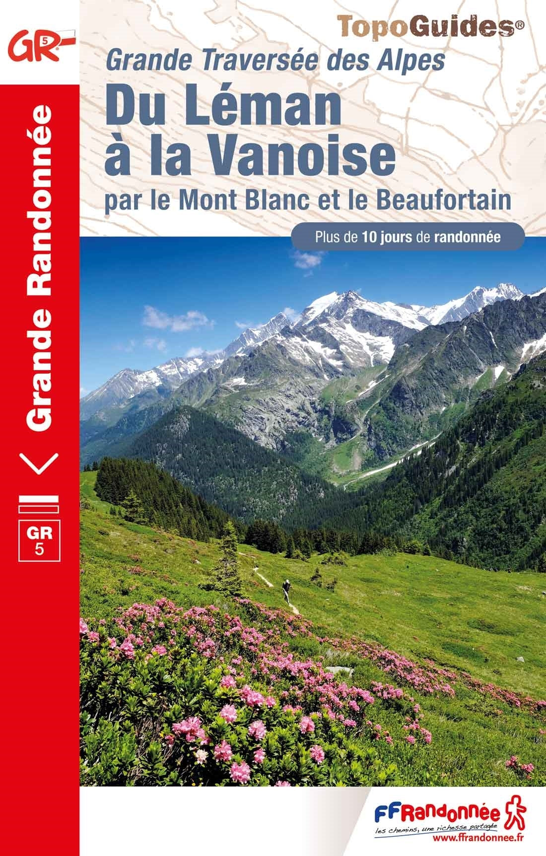
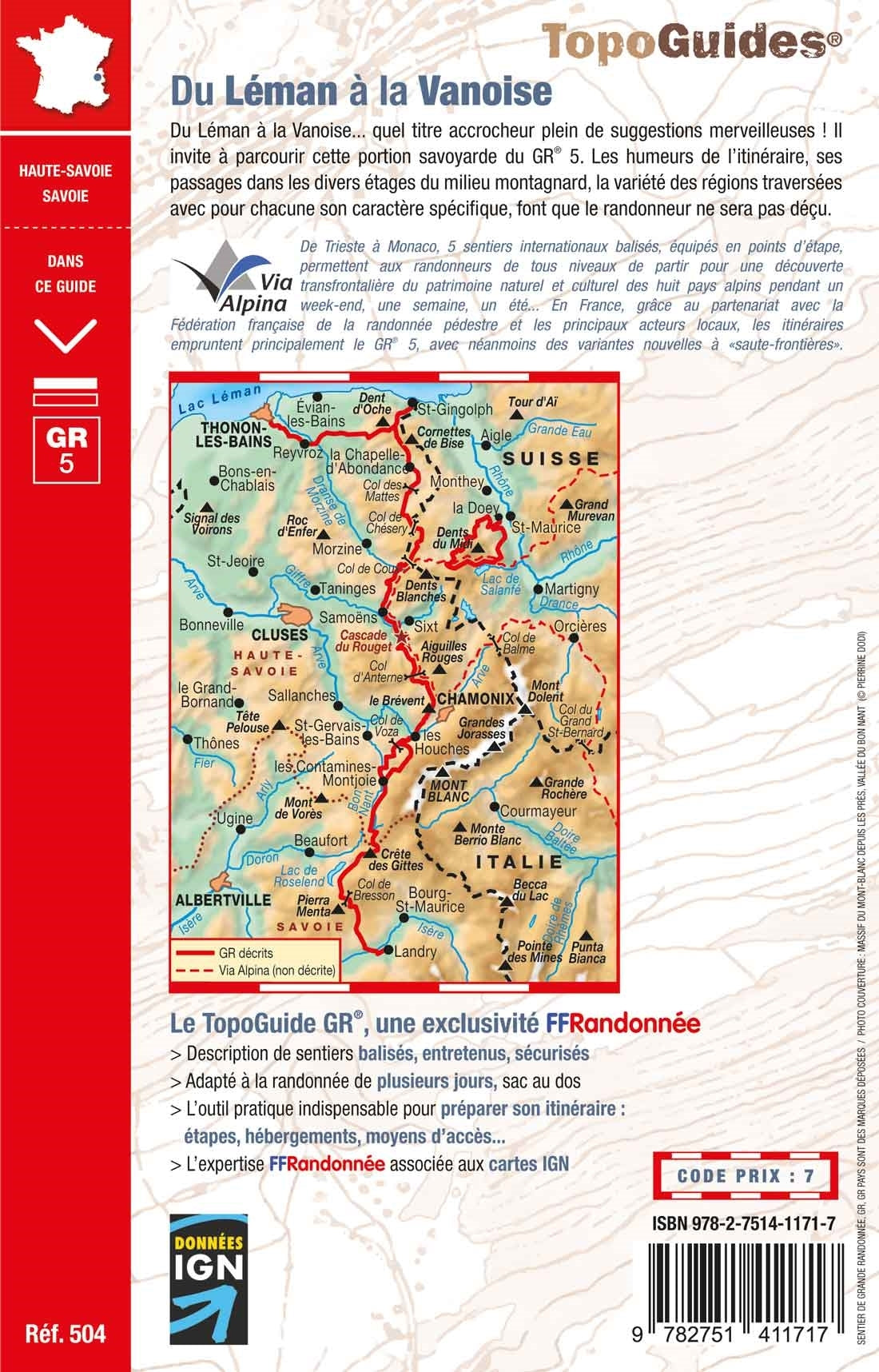
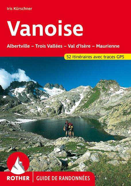
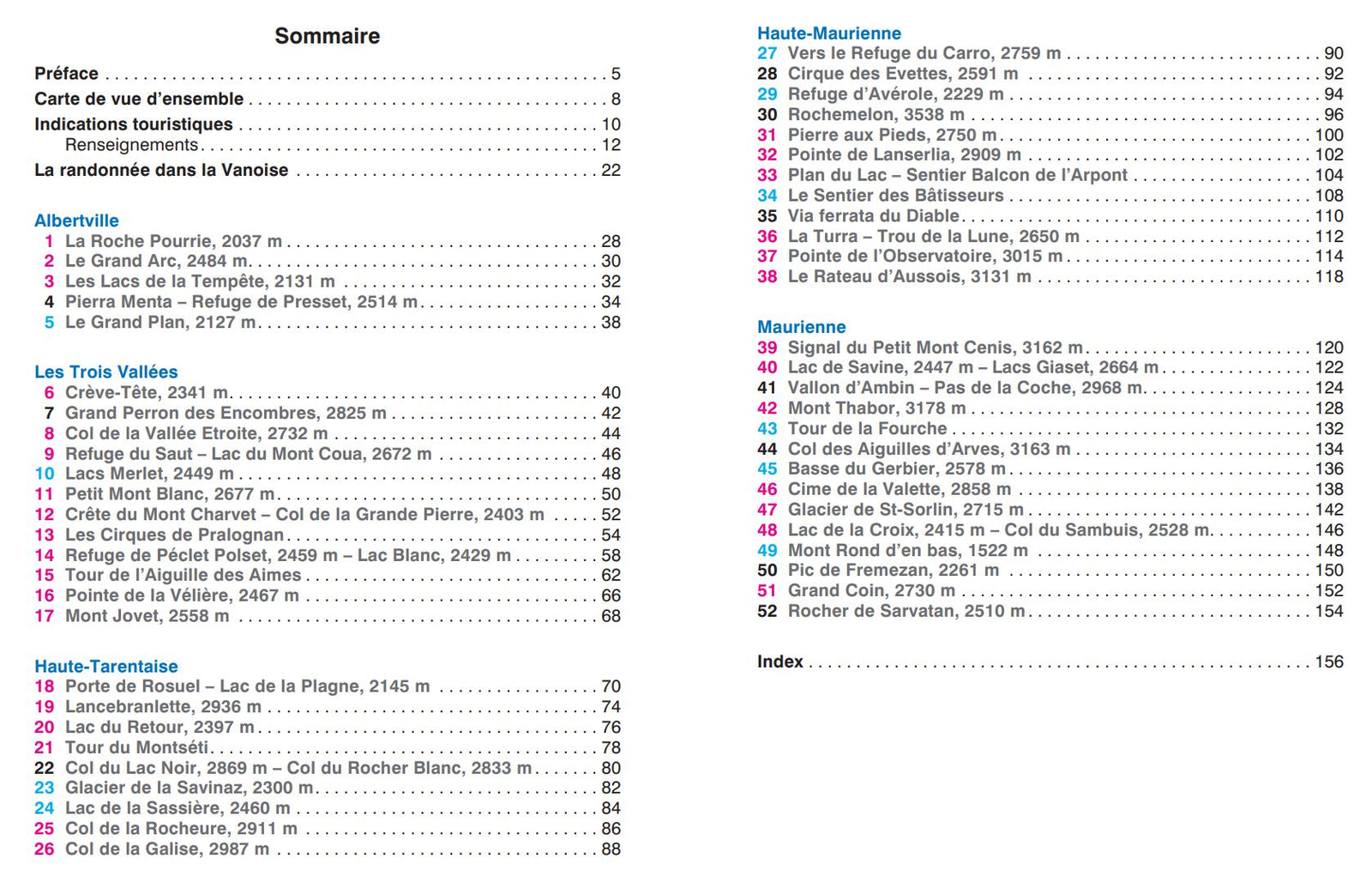
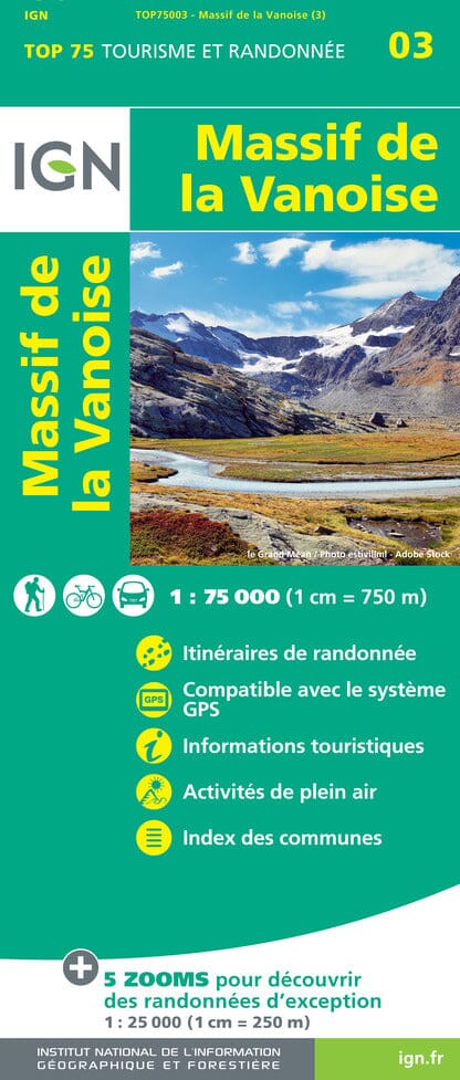
Hiking map No. A3 - Vanoise (Alps) | Rando editions (French)

Price
Regular price 11100 kr
Regular price Sale price 11100 kr
Save -111 kr
/
  • Shipping within 24 working hours from our warehouse in France
  • Frais de livraison calculés instantanément dans le panier
  • Retours gratuits (*)
  • Stocks en temps réel
  • In stock, ready to ship
  • Backordered, shipping soon
Tax included.

Souvent achetés ensemble :

Detailed topographic map of the Vanoise. Hiking map Alps A3 published by Rando editions, which covers the Vanoise region with the Vanoise National Park and also the Tarentaise and Maurienne Valleys. Hiking map with level curves and useful information to the mountain practice included.


ISBN/EAN : 9782841822119
Publication date: 2004
Scale: 1/50,000 (1cm=500m)
Printed sides: front
Folded dimensions: 22.5 x 11 x 0.5cm
Unfolded dimensions: 131 x 90cm
Language(s): French English
Weight: 88 g

Customer Reviews

Based on 4 reviews
75%
(3)
25%
(1)
0%
(0)
0%
(0)
0%
(0)
F
Francesca L. (Annemasse, FR)
Tres bien

Conforme aux attentes

f
franck B. (Ploemeur, FR)
produit parfait

rien a dire

A
Augustin G.
Parfait

Bonne qualité même si les informations d'altitude manque un peu sur les lignes isobarre !

M
MARIO I.
Carte de très bonne qualité ...

Carte de très bonne qualité