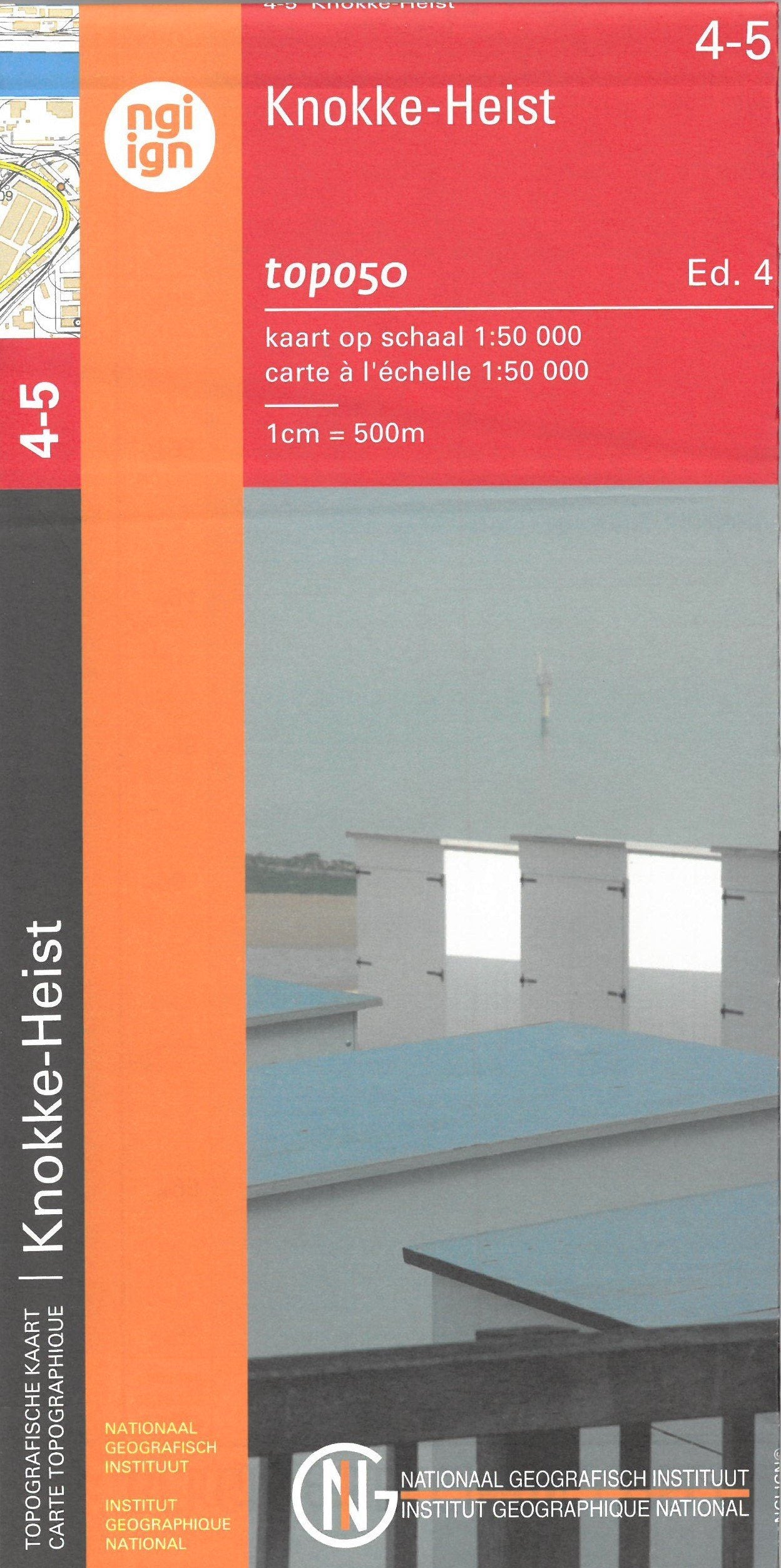
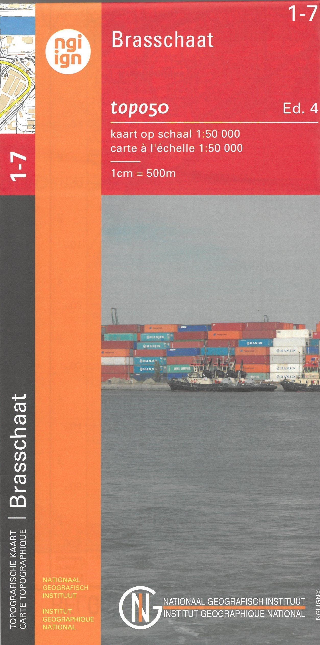
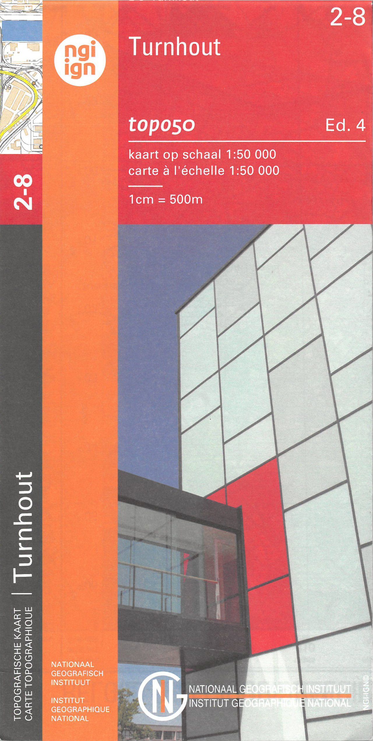
Topographic map No. 38 - Ath (Belgium) | IGN Belgium - 1/50 000
Regular price
6500 kr
Regular price
Sale price
6500 kr
Save -65 kr
/
- Shipping within 24 working hours from our warehouse in France
- Frais de livraison calculés instantanément dans le panier
- Retours gratuits (*)
- Stocks en temps réel
- Low stock - 1 item left
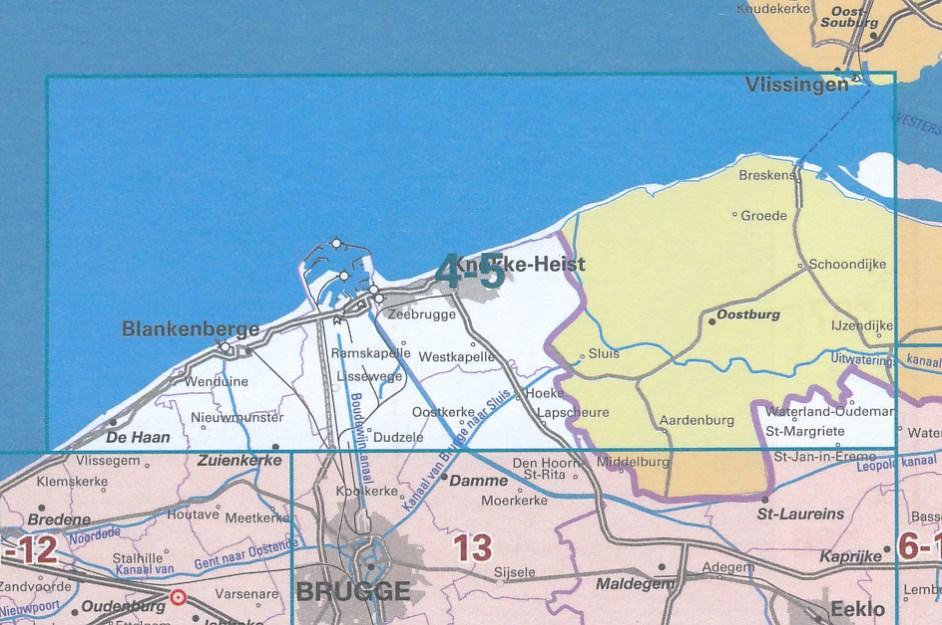
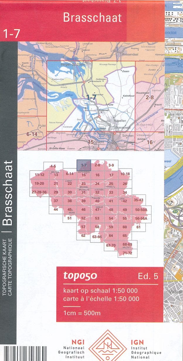
Related geographic locations and collections: Belgium - NGI topographic maps at 1/50,000, Hainaut (Belgium), Wallonia